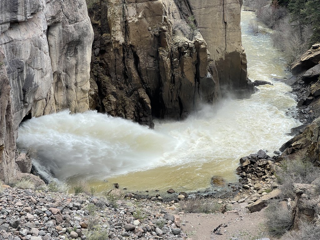
Rock Creek Campground
Campground
Campground · 7.2 mi from the trail
Caution at last check
Agency alerts are in effect for this area; weather is good · USFS, OpenWeather · checked 15 h ago
Closure in the area
There's a closure order in Rio Grande National Forest. It doesn't name Gopher Gulch, so check the source for the area it covers.
Closures and dangerous conditions on roads, bridges, and trails from flooding
Agency closure covering Rio Grande National Forest · USFS · Rio Grande National Forest
As of · Source: USFS · Rio Grande National Forest. Agencies don't list every closure — check before you go.
Gopher Gulch is a mountain biking route in the Divide Ranger District of the Rio Grande National Forest in Colorado, managed by the Forest Service. The ride is about 2.8 miles long and climbs roughly 650 feet from a low point of 8,262 feet to a high of 9,021 feet. The steepest stretch comes early, at about 0.36 miles in, with a grade of 18 percent. The most comfortable months for riding are late spring and early fall. Typical averages from a nearby weather station at Del Norte, about 8 miles away, run to highs of 68°F in May and 73°F in September. That station sits roughly 1,200 feet below the route, so temperatures on the trail run cooler. The Pharcyde climbing area is just 0.3 miles away, and The Promised Land and Main Wall are each about 0.9 miles off. For more riding, Deadman Loop is about a mile away.
Rock Creek Campground
Campground
Rio Grande County Museum
Museum
Places © OpenStreetMap contributors, Places © Overture Maps Foundation
More in South ForkNot on Roamze yet. Their page has how to reach them.
Source: Roamze catalog (indexable pages within 10 miles, PostGIS distance)
 Ute LoopMountain biking · ~30 min drivePhoto: Jeffrey Beall, CC BY 4.0 (via Wikimedia Commons)
 Dollhand RavineMountain biking · ~30 min drivePhoto: Jeffrey Beall, CC BY 4.0 (via Wikimedia Commons)JicarillaMountain biking · ~30 min drivePhoto: Jeffrey Beall, CC BY 4.0 (via Wikimedia Commons)Wild Horse LoopMountain biking · ~31 min drivePhoto: Jeffrey Beall, CC BY 4.0 (via Wikimedia Commons)CapulinMountain biking · ~31 min drivePhoto: Jeffrey Beall, CC BY 4.0 (via Wikimedia Commons)
Best months: May–September. Best months have typical highs of 55–85 °F, lows of 30 °F or warmer (32 °F where the station doesn't record snow), at most one snowy day and no more than 12 wet days.
Jan
35° / 7°
4 wet
Feb
40° / 13°
4 wet
Mar
51° / 21°
5 wet
Apr
59° / 27°
5 wet
May
68° / 36°
6 wet
Jun
78° / 44°
6 wet
Jul
80° / 50°
11 wet
Aug
78° / 48°
12 wet
Sep
73° / 40°
8 wet
Oct
63° / 30°
5 wet
Nov
49° / 18°
4 wet
Dec
36° / 9°
4 wet
Typical high / low (°F) and days with rain or snow, 1991–2020. Measured at Del Norte 3ene, CO, 8.2 mi away at 7,845 ft. The station sits about 1,200 ft lower than this place, so expect it a little cooler here. This station doesn't record snowfall. Source: NOAA NCEI U.S. Climate Normals 1991–2020.
Map and trail data © OpenStreetMap contributors