Bear Creek Lake City Park
Campground
Campground · 2.5 mi from the trail
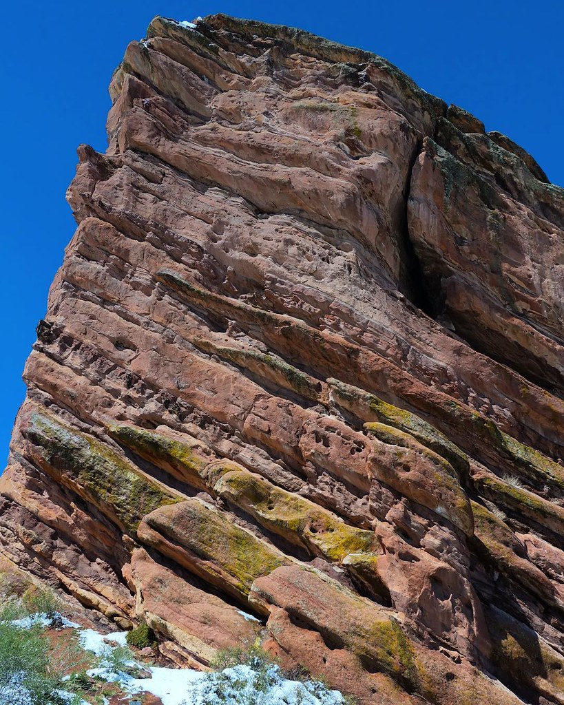
Dakota Ridge South Trail is a mountain biking route in Matthews/Winters Park, a county park in Colorado, about 0.77 miles long with a total elevation gain of 37 feet. The land is managed by county authorities, and the trail sits within the park's network of hiking and climbing routes. The climb is short and gentle. The route rises from about 6,231 feet to about 6,275 feet, with the steepest stretch at about 6% grade near the 0.21-mile mark. Dogs are not allowed on this trail. For comfortable weather, late spring and early fall are the best bets. Typical averages from a nearby weather station in Lakewood show May highs around 68°F and September highs around 76°F, with July peaking near 86°F. The Dakota Ridge Trail and Will Call Trail are both about half a mile away, and the Mount Morrison climbing area is about 0.6 miles off. Dakota Ridge RV Park, about 4 miles away, is the closest place to camp.
Bear Creek Lake City Park
Campground
 If it rainsJean-Luc Margot, Public domain · Wikimedia Commons
Places © OpenStreetMap contributors, Places © Overture Maps Foundation · Photos: Jean-Luc Margot, Public domain (commons)
More in Idaho SpringsNot on Roamze yet. Their page has how to reach them.
 Dakota Ridge TrailHikingPhoto: TexasExplorer98, CC BY 2.0 (via Flickr)0.5 mi
 Will Call TrailHikingPhoto: Scott McLeod, CC BY 2.0 (via Flickr)0.5 mi
 Bailout TrailHikingPhoto: kjardin@pacbell.net, CC BY-SA 2.0 (via Flickr)0.6 mi
 MezzanineRock climbingPhoto: Sharon Mollerus, CC BY 2.0 (via Flickr)0.6 mi
 Clear Creek RV ParkCampingPhoto: cogdogblog, CC BY 2.0 (via Wikimedia Commons)6.6 mi
 Bear CreekCanoeingPhoto: Footwarrior, CC BY-SA 3.0 (via Wikimedia Commons)7.7 mi
Source: Roamze catalog (indexable pages within 10 miles, PostGIS distance)
Best months: April–June and August–October. Best months have typical highs of 55–85 °F, lows of 30 °F or warmer (32 °F where the station doesn't record snow), at most one snowy day and no more than 12 wet days.
Jan
45° / 21°
4 wet
Feb
45° / 22°
5 wet
Mar
53° / 29°
6 wet
Apr
59° / 35°
7 wet
May
68° / 44°
10 wet
Jun
80° / 53°
9 wet
Jul
86° / 60°
9 wet
Aug
84° / 58°
9 wet
Sep
76° / 49°
7 wet
Oct
63° / 37°
6 wet
Nov
52° / 28°
4 wet
Dec
45° / 20°
4 wet
Typical high / low (°F) and days with rain or snow, 1991–2020. Measured at Lakewood, CO, 7.1 mi away at 5,640 ft. The station sits about 600 ft lower than this place, so expect it a little cooler here. This station doesn't record snowfall. Source: NOAA NCEI U.S. Climate Normals 1991–2020.
Map and trail data © OpenStreetMap contributors

