Camp Patiya
Campground
Campground · 4.9 mi from the trail
Clear at last check
Weather is good · OpenWeather · checked 15 h ago
Community Ditch Trail is a short, low-elevation mountain biking route in Colorado, set on city land within the Dunn II area. The trail is about 3.2 miles long, with a total climb of about 42 feet from a starting point near 5,748 feet to a high point of about 5,749 feet. The route is nearly flat, with the steepest stretch at about 4% grade around the 1.2-mile mark. The most comfortable months for a ride are typically late spring and early fall. Typical averages from a nearby weather station in Boulder show May highs around 71°F and September highs around 79°F, while July averages climb to about 88°F. Doudy Draw Trail starts just 0.1 mile away, and FlatIrons Vista North Trail is about 0.6 mile off for hikers. Climbers can head to Whale Boulder (aka South Paw) and Center Ring Wall, both about 1.1 mile away.
Camp Patiya
Campground
The Flats Beer Garden
Bar
 If it rainsNwest21, CC BY-SA 4.0 · Wikimedia Commons
Planetarium in the United States
Places © OpenStreetMap contributors · Photos: Nwest21, CC BY-SA 4.0 (commons)
More in Idaho SpringsNot on Roamze yet. Their page has how to reach them.
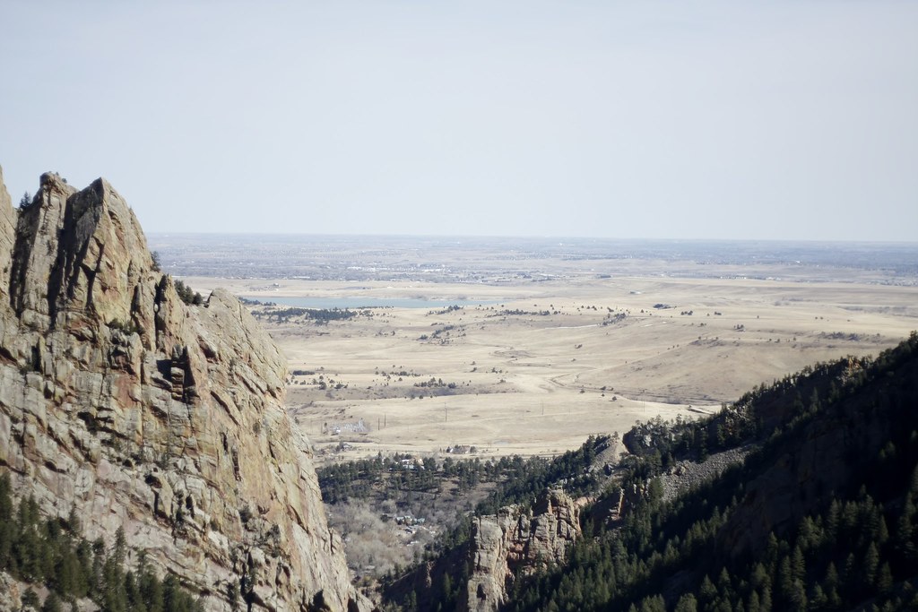 FlatIrons Vista North TrailHikingPhoto: andrusdevelopment, CC BY 2.0 (via Flickr)0.6 mi
 Whale Boulder (aka South Paw)Rock climbingPhoto: relaxednow, CC BY 2.0 (via Wikimedia Commons)1.1 mi
 Center Ring WallRock climbingPhoto: mmehnert217, CC BY 2.0 (via Flickr)1.1 mi
 Boulder CreekCanoeingPhoto: Susan from Alameda, CA, USA, CC BY 2.0 (via Wikimedia Commons)6.2 mi
 South Boulder CreekCanoeingPhoto: Jeffrey Beall, CC BY 3.0 (via Wikimedia Commons)8.1 mi
Source: Roamze catalog (indexable pages within 10 miles, PostGIS distance)
 Betasso Link TrailMountain biking · ~12 min drivePhoto: Akos Kokai, CC BY 2.0 (via Wikimedia Commons)
Also worth it near here
Best months: April–June and September–October. Best months have typical highs of 55–85 °F, lows of 30 °F or warmer (32 °F where the station doesn't record snow), at most one snowy day and no more than 12 wet days.
Jan
47° / 21°
6 wet
Feb
48° / 22°
7 wet
Mar
57° / 29°
8 wet
Apr
63° / 34°
10 wet
May
71° / 43°
12 wet
Jun
83° / 51°
10 wet
Jul
88° / 57°
11 wet
Aug
86° / 55°
10 wet
Sep
79° / 48°
8 wet
Oct
66° / 37°
7 wet
Nov
54° / 28°
6 wet
Dec
46° / 21°
6 wet
Typical high / low (°F) and days with rain or snow, 1991–2020. Measured at Boulder, CO, 4.2 mi away at 5,484 ft. This station doesn't record snowfall. Source: NOAA NCEI U.S. Climate Normals 1991–2020.
Map and trail data © OpenStreetMap contributors

