colorado trail (segment 2)
- 7.9 mi
- distance
- 1,367 ft
- climb
- Jun–Jul, Sep
- best months
Is colorado trail (segment 2) open right now?
Alert in the area
The Forest Service lists 8 alerts for Pike and San Isabel National Forests.
FSR 286, Radical Hill, is closed due to washouts and unsafe conditions
Agency alert covering Pike and San Isabel National Forests · USFS · Pike and San Isabel National Forests
Interlaken Hotel Tree Hazards
Agency alert covering Pike and San Isabel National Forests · USFS · Pike and San Isabel National Forests
Sharpe Fire Update
Agency alert covering Pike and San Isabel National Forests · USFS · Pike and San Isabel National Forests
Turquoise Lake Road (County Road 4) Closure
Agency alert covering Pike and San Isabel National Forests · USFS · Pike and San Isabel National Forests
Downed and weakened trees on South Platte Ranger District
Agency alert covering South Platte Ranger District · USFS · South Platte Ranger District
As of · Source: USFS · Pike and San Isabel National Forests. Agencies don't list every closure — check before you go.
Segment 2 of the Colorado Trail is a 7.9-mile mountain biking route in the South Platte Ranger District of the Pike and San Isabel National Forests in Colorado. The Forest Service manages the land. The ride runs from a high point of 7,778 feet at the start to a low of 6,815 feet, with a total elevation gain of 1,367 feet and a total loss of 1,681 feet over the course. The steepest stretch comes at about 4.1 miles in, with a 19% grade. The most comfortable stretch for riding is typically June through September. At a nearby weather station in Bailey, typical average highs run from 75°F in June to 79°F in July, and September cools to around 71°F with lows near 35°F. Segment 3 of the Colorado Trail lies just 0.1 mile away. Buffalo Burn, a hike, is about 0.2 mile off. Climbers can head to Miscellaneous Boulders or Da Butts Bouldering, both within about a mile.
Local outfitters
- Lostfork Basecamp24 mi away
- Broadmoor Outfitters44 mi away
Not on Roamze yet. Their page has how to reach them.
- colorado trail (segment 3)Mountain biking0.1 mi
- Buffalo BurnHiking0.2 mi
- Miscellaneous BouldersRock climbing0.9 mi
- Da Butts BoulderingRock climbing1.1 mi
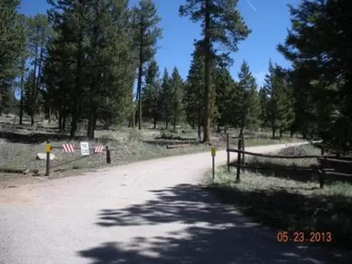 Kelsey CampgroundCampingPhoto: Recreation.gov (RIDB) / public domain2.9 mi
- Osprey CampgroundCamping3.8 mi
- West Resort CreekCanoeing7.5 mi
- Horse CreekCanoeing8.6 mi
Source: Roamze catalog (indexable pages within 10 miles, PostGIS distance)
- Buffalo BurnMountain biking · Next door
- Nice KittyMountain biking · ~2 min drive
- Colorado Trail (Segment 2)Mountain biking · ~3 min drive
- Shinglemill 725Mountain biking · ~4 min drive
- Little ScraggyMountain biking · ~5 min drive
- Sandy WashMountain biking · ~5 min drive
- ShinglemillMountain biking · ~5 min drive
- Morrison Creek 724Mountain biking · ~5 min drive
- Campground TrailMountain biking · ~6 min drive
- Tramway 723Mountain biking · ~7 min drive
Also worth it near here
Best time to visit colorado trail (segment 2)
Best months: June–July and September. Best months have typical highs of 55–85 °F, lows of 30 °F or warmer (32 °F where the station doesn't record snow), at most one snowy day and no more than 12 wet days.
Jan
38° / 9°
4 wet
Feb
40° / 10°
5 wet
Mar
48° / 18°
6 wet
Apr
54° / 23°
7 wet
May
63° / 31°
8 wet
Jun
75° / 38°
8 wet
Jul
79° / 44°
12 wet
Aug
77° / 43°
13 wet
Sep
71° / 35°
7 wet
Oct
59° / 24°
5 wet
Nov
45° / 16°
4 wet
Dec
37° / 9°
4 wet
Typical high / low (°F) and days with rain or snow, 1991–2020. Measured at Bailey, CO, 12.7 mi away at 7,752 ft. This station doesn't record snowfall. Source: NOAA NCEI U.S. Climate Normals 1991–2020.


Map and trail data © OpenStreetMap contributors
