
Peak Mountain Guides
Hiking business nearby (~10 mi away) — hasn't claimed their Roamze page yet
Free — you'll pick up right here.
Watch this trail
Sign up to watch it — saving subscribes you to gate, closure and report changes.
Colorado
5.4 mi
Distance
566 ft
Gain
We won't guess. Here is exactly what we do and don't know.
What we do know
Inside Grand Mesa, Uncompahgre and Gunnison National Forests
2 managing-area boundaries mapped — agency alerts for them feed this page automatically.
Boundary data
What's missing
No access route mapped
We don't yet know which road reaches this trailhead, so we can't tell you if it's gated.
Nobody's filed a report here yet — be the first.
Why you'll love it
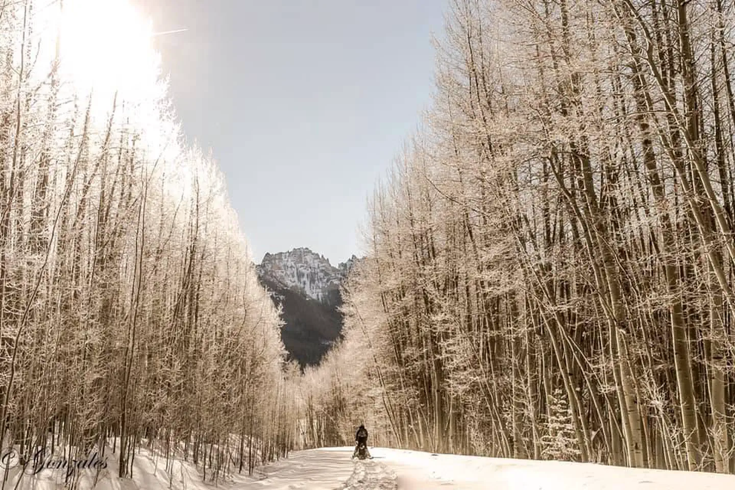
West Fork Sno
AI-suggested draft · review before you go
West Fork Sno is a 2.7-mile loop trail located in Colorado within Routt National Forest's Yampa Ranger District. This moderately accessible route offers hikers a compact outdoor experience in the northern Colorado backcountry managed by the US Forest Service. The trail provides a full-loop option, allowing hikers to return to their starting point without retracing their steps. Its relatively short distance makes it suitable for hikers seeking a manageable outing, whether as a standalone hike or as part of a broader exploration of the Yampa Ranger District's trail network. The Yampa Ranger District encompasses diverse terrain and ecosystems typical of the Rocky Mountain region. West Fork Sno connects to the broader recreational opportunities available throughout Routt National Forest, an area known for its extensive trail systems and scenic mountain landscapes. For current conditions, detailed trailhead access information, and seasonal considerations, contact Routt National Forest's Yampa Ranger District directly.

Owl Creek Pass Sno
~1 min drive
37 mi · Hard

Courthouse Mountain
~2 min drive
An expert out-and-back trail in Colorado spanning 1.76 miles, connected to the Stealey Mountain Trail system.
Stealey Mountain North
~3 min drive
4.3 mi · Moderate
Courthouse
~2 min drive
11 mi · Hard

Cowboy Lake
~10 min drive
1.4 mi · Easy

Cow Creek
~8 min drive
12 mi · Moderate
Stealey Mountain South
~7 min drive
8.7 mi · Hard

Upper East Fork
~11 min drive
1.0 mi · Easy

Cutler Creek Trail
~10 min drive
7.6 mi · Moderate
Silver Jack Shoreline
~9 min drive
1.2 mi · Hard
Local operatorsoffering guided trips. You book directly with them — Roamze doesn’t take a cut.
Peak Mountain Guides
Hiking business nearby (~10 mi away) — hasn't claimed their Roamze page yet
Grizzly RT RV Park
Hiking business nearby (~19 mi away) — hasn't claimed their Roamze page yet
Cedar Creek RV Park and Lodging
Hiking business nearby (~28 mi away) — hasn't claimed their Roamze page yet