Camp Eddy
Campground
Campground · 0.9 mi from the trail
Road closed
CO 42: road closure is listed as closed by CDOT 511.
CO 42: road closure
Closed · ~1.3 km from Watson Island Trail · CDOT 511
As of · Source: CDOT 511. Agencies don't list every closure — check before you go.
Watson Island Trail is a short loop in Colorado, about 0.3 miles long, with only 21 feet of elevation gain and loss. It starts and ends at about 4,568 feet, and its high point is 4,568 feet, making it a flat, easy walk that you can complete in roughly half an hour. The nearest town is Orchard Mesa, about 0.9 miles away. For the most comfortable weather, aim for late spring or early fall. Typical averages from a nearby weather station in Grand Junction show May highs around 76°F and September highs around 81°F, while July highs reach about 93°F and winter brings a few snowy days each month from December through February. Camp Eddy sits about 0.9 miles away, and Park Mesa Trail is about 1.3 miles off for mountain biking. For climbing, Dynamite Shacks is about 2.3 miles away and Indian Garden Boulders about 2.4 miles.
Camp Eddy
Campground
Edgewater Brewery
Brewery
 If it rainsJeffrey Beall, CC BY-SA 3.0 · Wikimedia Commons
Places © OpenStreetMap contributors · Photos: Jeffrey Beall, CC BY-SA 3.0 (commons)
More in CliftonNot on Roamze yet. Their page has how to reach them.
Source: Roamze catalog (indexable pages within 10 miles, PostGIS distance)
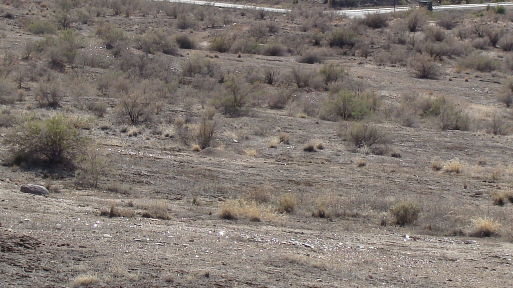 Time Machine TrailHiking · ~3 min drivePhoto: iagoarchangel, CC BY-SA 2.0 (via Flickr)
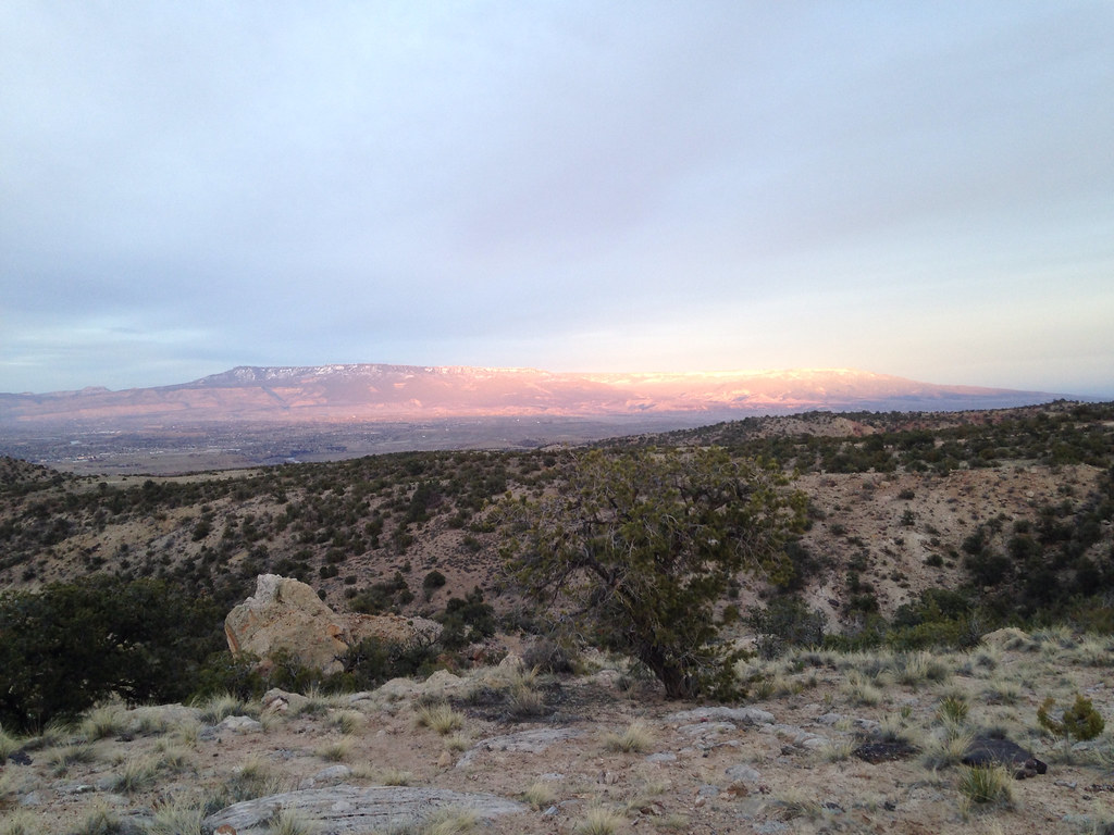 Holy Cross TrailHiking · ~5 min drivePhoto: iagoarchangel, CC BY-SA 2.0 (via Flickr)
 Yes N Dee Dee TrailHiking · ~3 min drivePhoto: iagoarchangel, CC BY-SA 2.0 (via Flickr)
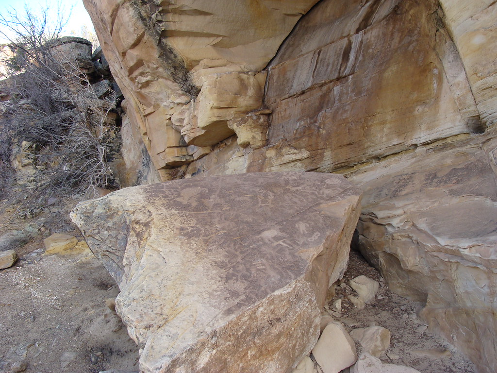 Eagle's Connector TrailHiking · ~5 min drivePhoto: iagoarchangel, CC BY-SA 2.0 (via Flickr)Painted Bowl TrailHiking · ~4 min drivePhoto: iagoarchangel, CC BY-SA 2.0 (via Flickr)
 Eagle's Wing TrailHiking · ~6 min drivePhoto: iagoarchangel, CC BY-SA 2.0 (via Flickr)Gunnector TrailHiking · ~5 min drivePhoto: iagoarchangel, CC BY-SA 2.0 (via Flickr)
Best months: March–May and September–October. Best months have typical highs of 55–85 °F, lows of 30 °F or warmer (32 °F where the station doesn't record snow), at most one snowy day and no more than 12 wet days.
Jan
39° / 19°
5 wet · 3 snow
Feb
46° / 25°
5 wet · 2 snow
Mar
58° / 34°
6 wet · 1 snow
Apr
65° / 40°
7 wet
May
76° / 50°
5 wet
Jun
88° / 59°
3 wet
Jul
93° / 65°
5 wet
Aug
90° / 63°
6 wet
Sep
81° / 54°
6 wet
Oct
67° / 41°
5 wet
Nov
52° / 30°
5 wet · 1 snow
Dec
40° / 20°
4 wet · 3 snow
Typical high / low (°F) and days with rain or snow, 1991–2020. Measured at Grand Junction 6ese, CO, 5.2 mi away at 4,760 ft. Source: NOAA NCEI U.S. Climate Normals 1991–2020.
Map and trail data © OpenStreetMap contributors


