Oasis Durango RV
Campground
Campground · 2.2 mi from the trail
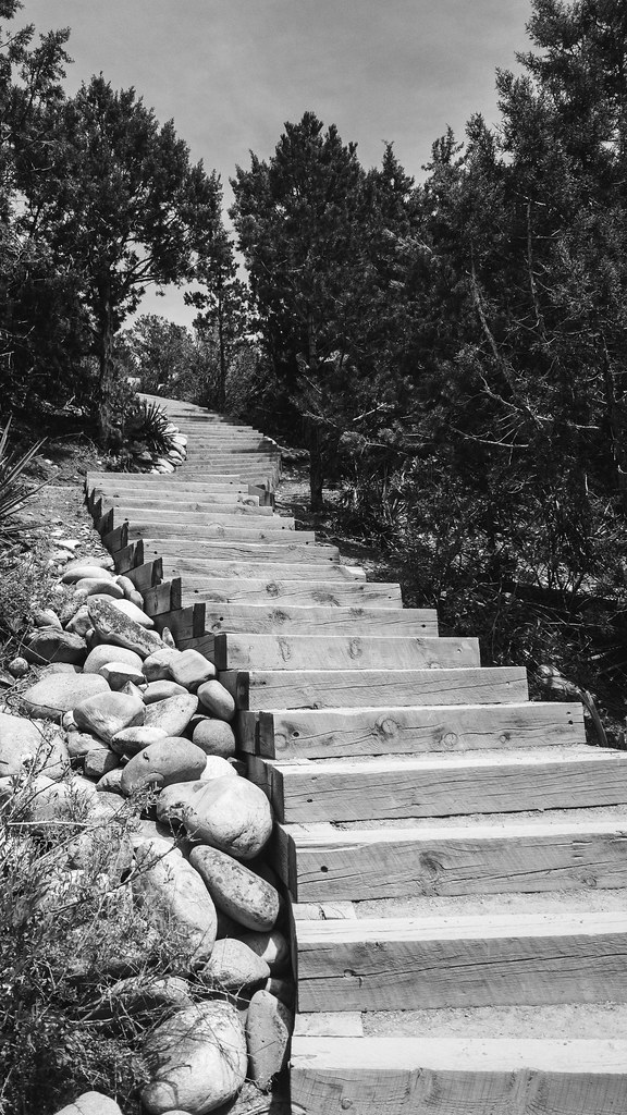
Three Springs Trail is a short, easy hike on Bureau of Land Management land in the Tres Rios Field Office, about half a mile from the Durango area. The trail is an out-and-back with a total round-trip distance of about a mile, and it gains and loses roughly 100 feet, so it works well as a quick stop or a warm-up before heading out to other spots nearby. The most comfortable stretch for a visit runs from late spring into early fall. Typical averages from the nearby Durango weather station put May highs around 71°F and September highs around 76°F. July and August are the warmest months, with highs near 85°F, and the station sits a few hundred feet lower than the trail, so temperatures on the trail run a little cooler. The Grandview Singletrack Option is a mountain biking route just 0.1 mile away, and the Water Tank West Side Trail is a hike about 0.2 mile off. For an overnight stay, Oasis Durango RV is about 2 miles away, and Smelter Mountain, a climbing area, is about 3 miles away.
Oasis Durango RV
Campground
Highway 3 Roadhouse & Oyster Bar
Restaurant
 If it rainsJeffrey Beall, CC BY 4.0 · Wikimedia Commons
Places © OpenStreetMap contributors · Photos: Jeffrey Beall, CC BY 4.0 (commons)
More in DurangoNot on Roamze yet. Their page has how to reach them.
 Florida RiverCanoeingPhoto: Dicklyon, CC BY-SA 4.0 (via Wikimedia Commons)5.3 mi
Source: Roamze catalog (indexable pages within 10 miles, PostGIS distance)
 South Rim TrailHiking · ~2 min drivePhoto: Daniel Weber, Public Domain Dedication (CC0) (via Flickr)Skull Rock TrailHiking · ~2 min drivePhoto: Daniel Weber, Public Domain Dedication (CC0) (via Flickr)
 Cuchillo TrailHiking · ~3 min drivePhoto: Daniel Weber, Public Domain Dedication (CC0) (via Flickr)Big Canyon TrailHiking · ~4 min drivePhoto: Daniel Weber, Public Domain Dedication (CC0) (via Flickr)Stacy'S Loop TrailHiking · ~3 min drivePhoto: Daniel Weber, Public Domain Dedication (CC0) (via Flickr)
Best months: May–October. Best months have typical highs of 55–85 °F, lows of 30 °F or warmer (32 °F where the station doesn't record snow), at most one snowy day and no more than 12 wet days.
Jan
39° / 13°
7 wet
Feb
45° / 19°
7 wet
Mar
54° / 25°
7 wet
Apr
63° / 30°
7 wet
May
71° / 37°
6 wet
Jun
81° / 46°
5 wet
Jul
85° / 53°
11 wet
Aug
82° / 51°
12 wet
Sep
76° / 44°
9 wet
Oct
64° / 33°
7 wet
Nov
50° / 23°
7 wet
Dec
40° / 13°
7 wet
Typical high / low (°F) and days with rain or snow, 1991–2020. Measured at Durango, CO, 3.1 mi away at 6,761 ft. This station doesn't record snowfall. Source: NOAA NCEI U.S. Climate Normals 1991–2020.
Map and trail data © OpenStreetMap contributors
