Summit Street Cutoff
 Photo: dconvertini, CC BY-SA 2.0 (via Flickr)
- 0.2 mi
- round trip
- 58 ft
- climb
- 8,125 ft
- high point
- Out and back
- route
- May–Sep
- best months
Is Summit Street Cutoff open right now?
Road closed
CO 82: road closure is listed as closed by CDOT 511.
CO 82: road closure
Closed · ~1.1 km from Summit Street Cutoff · CDOT 511
FSR 286, Radical Hill, is closed due to washouts and unsafe conditions
Agency alert covering White River National Forest · USFS · White River National Forest
Limited parking at Snowmass Creek Trailhead
Agency alert covering White River National Forest · USFS · White River National Forest
Grizzly Creek Trail Closure
Agency alert covering White River National Forest · Order 2026-02 · USFS · White River National Forest
Ruedi Marina Day Use area Dump Station is CLOSED
Agency alert covering White River National Forest · USFS · White River National Forest
As of · Source: CDOT 511. Agencies don't list every closure — check before you go.
Summit Street Cutoff is a short out-and-back trail in Colorado covering 0.16 miles with 58 feet of elevation gain.
Go with a guide
- Mineral Belt Trail Guided WalkRoamze · $25 per person · 29 mi away
- Maroon Bells Guide and Outfitters3 mi away
- Nearby · Little Nell Trail · Ajax Trail · SMUGGLERS CUTOFF
Best time to go · May–Sep
Best time to visit Summit Street Cutoff
Best months: May–September. Best months have typical highs of 55–85 °F, lows of 30 °F or warmer (32 °F where the station doesn't record snow), at most one snowy day and no more than 12 wet days.
Jan
32° / 10°
13 wet
Feb
35° / 13°
12 wet
Mar
43° / 20°
12 wet
Apr
50° / 27°
12 wet
May
60° / 35°
11 wet
Jun
71° / 42°
8 wet
Jul
76° / 48°
11 wet
Aug
73° / 47°
12 wet
Sep
67° / 40°
10 wet
Oct
55° / 30°
9 wet
Nov
42° / 19°
10 wet
Dec
32° / 10°
12 wet
Typical high / low (°F) and days with rain or snow, 1991–2020. Measured at Aspen 1sw, CO, 0.9 mi away at 8,175 ft. This station doesn't record snowfall. Source: NOAA NCEI U.S. Climate Normals 1991–2020.
Keep exploring — more trails worth the drive
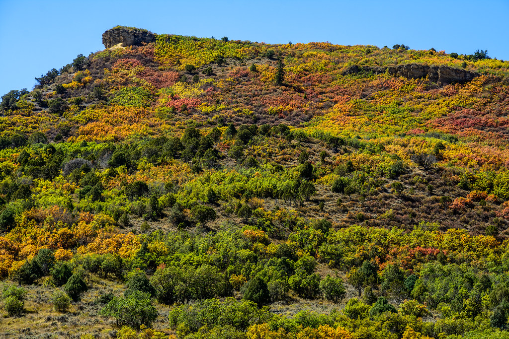 Photo: dconvertini, CC BY-SA 2.0 (via Flickr)
Little Nell Trail
Next door
1.2-mile out-and-back trail in Colorado with 805 ft gain and 8,649 ft max elevation.
 Photo: Frans-Banja Mulder, CC BY 3.0 (via Wikimedia Commons)
Ajax Trail
Next door
2.98-mile out-and-back hike in Colorado with 2,655 ft gain/loss.
HIKE
SMUGGLERS CUTOFF
~2 min drive
5.28-mile out-and-back trail in Colorado with 1,114 ft elevation gain.
Photo: dconvertini, CC BY-SA 2.0 (via Flickr)No Problem Joe Trail
Next door
0.12-mile out-and-back trail in Colorado with 27 ft of elevation gain.
Photo: dconvertini, CC BY-SA 2.0 (via Flickr)Snyder Park Trail
~1 min drive
0.21-mile out-and-back trail in Colorado with 50 ft of elevation gain.
 Photo: Peter Alfred Hess, CC BY 2.0 (via Flickr)
West Bleeker Street
~1 min drive
West Bleeker Street is a 0.01-mile trail in Colorado with 1 foot of elevation gain.
Photo: Frans-Banja Mulder, CC BY 3.0 (via Wikimedia Commons)Water Plant Trail
~1 min drive
0.91-mile out-and-back trail with 265 ft gain in Colorado.
Photo: Peter Alfred Hess, CC BY 2.0 (via Flickr)Racetrack
~2 min drive
Racetrack is a 0.46-mile out-and-back trail in Colorado with 6 feet of elevation gain.
Photo: Peter Alfred Hess, CC BY 2.0 (via Flickr)Institute
~2 min drive
0.10-mile out-and-back trail in Colorado with 58 ft of elevation gain.
Photo: dconvertini, CC BY-SA 2.0 (via Flickr)Hunter Valley
~3 min drive
2.82-mile out-and-back trail in Colorado's White River National Forest with 299 ft gain.


Map and trail data © OpenStreetMap contributors
