
Alpen Rose RV Park
Hiking business nearby (~30 mi away) — hasn't claimed their Roamze page yet
Free — you'll pick up right here.
Watch this trail
Sign up to watch it — saving subscribes you to gate, closure and report changes.
Colorado
2.4 mi
Distance
909 ft
Gain
We won't guess. Here is exactly what we do and don't know.
What we do know
Inside San Juan National Forest
2 managing-area boundaries mapped — agency alerts for them feed this page automatically.
Boundary data
What's missing
No access route mapped
We don't yet know which road reaches this trailhead, so we can't tell you if it's gated.
Nobody's filed a report here yet — be the first.
Why you'll love it
Stoner Creek
AI-suggested draft · review before you go
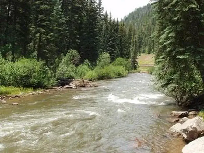
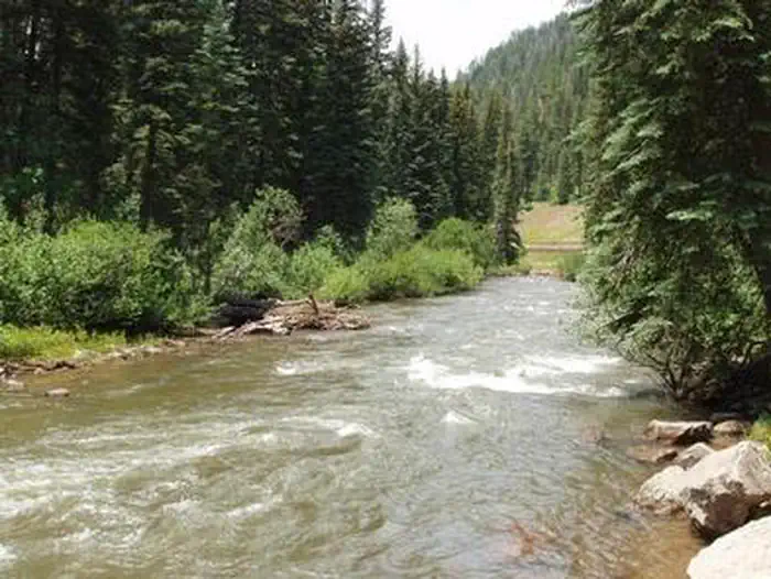
Stoner Creek is a 2.4-mile out-and-back trail located in Colorado near the town of Colorado. The trail is managed by the Rio Grande National Forest's Divide Ranger District, which maintains access and conditions along the route. This out-and-back trail offers hikers a straightforward journey along Stoner Creek. The moderate distance makes it accessible for a range of skill levels, though hikers should come prepared for typical forest conditions. Since elevation gain information isn't available, check with the Divide Ranger District before your visit for current conditions and any recent trail updates. The trail is situated within the Rio Grande National Forest, offering access to the natural landscape of south-central Colorado. The creek-side setting provides opportunities to experience flowing water and forest terrain typical of the area. For the most current information on trail conditions, seasonal closures, or facility availability, contact the Rio Grande National Forest's Divide Ranger District directly. Nearby amenities and services can be found in the town of Colorado.

Goble
~6 min drive
3.1 mi · Moderate

Little Taylor
~11 min drive
7.4 mi · Hard

Sockrider
~14 min drive
2.2 mi · Easy

Burnett Creek
~13 min drive
5.0 mi · Moderate
Bear Creek
~14 min drive
13 mi · Hard

Mcjunkin
~18 min drive
2.0 mi · Easy
Morrison
~14 min drive
5.6 mi · Moderate

Navajo Lake
~19 min drive
15 mi · Hard

Lone Cone Peak
~26 min drive
2.5 mi · Easy
Little Bear Pack Trail
~14 min drive
3.6 mi · Moderate
Local operatorsoffering guided trips. You book directly with them — Roamze doesn’t take a cut.
Alpen Rose RV Park
Hiking business nearby (~30 mi away) — hasn't claimed their Roamze page yet
HTR Resorts
Hiking business nearby (~31 mi away) — hasn't claimed their Roamze page yet
Sundance RV Park
Hiking business nearby (~31 mi away) — hasn't claimed their Roamze page yet