Runway Trail
- 0.8 mi
- round trip
- 226 ft
- climb
- 4,732 ft
- high point
- Out and back
- route
- Mar–May, Sep–Nov
- best months
Runway Trail is a short, easy out-and-back hike in Colorado, about 0.7 miles from the town of Gateway. The trail is 1.7 miles long, with a total elevation gain of 226 feet, and it reaches a high point of 4,732 feet. The climb is front-loaded, with the steepest stretch at about 0.4 miles in, where the grade reaches 7 percent. Spring and fall are the most comfortable times to go. Typical averages from a nearby weather station in Gateway show May highs around 80°F and October highs around 71°F, while July averages about 95°F and winter brings highs in the mid-40s and a few snowy days a month. The hike takes about half an hour. Entrada Trail and Wildflower Trail both start within half a mile, and Lumsden Loop is about 0.7 miles away. Climbers can find the Olive Garden climbing area roughly 1.4 miles off.
Local outfitters
- Red Desert RV Park29 mi away
- Spanish Trail RV Park30 mi away
Not on Roamze yet. Their page has how to reach them.
- Entrada TrailHiking0.4 mi
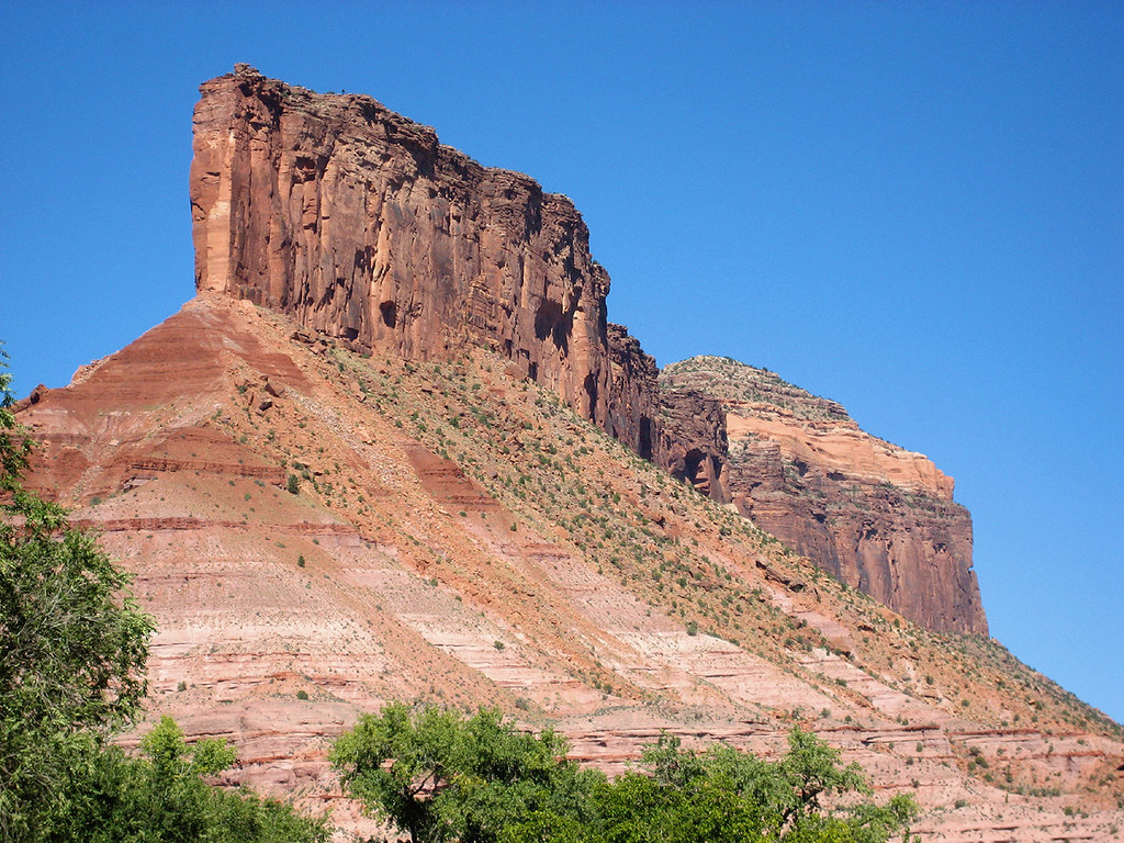 Wildflower TrailHikingPhoto: Argyleist, CC BY 2.0 (via Flickr)0.5 mi
- Lumsden LoopHiking0.7 mi
 Cutler Rim TrailMountain bikingPhoto: Jeffrey Beall, CC BY 4.0 (via Wikimedia Commons)0.7 mi
- Olive GardenRock climbing1.4 mi
- GatewayRock climbing1.4 mi
 Sewemup MesaRock climbingPhoto: SymphonicPoet, CC BY 2.0 (via Flickr)5.8 mi
- 4.1 Road BoulderingRock climbing5.9 mi
Source: Roamze catalog (indexable pages within 10 miles, PostGIS distance)
- Wildflower TrailHiking · Next doorPhoto: Argyleist, CC BY 2.0 (via Flickr)
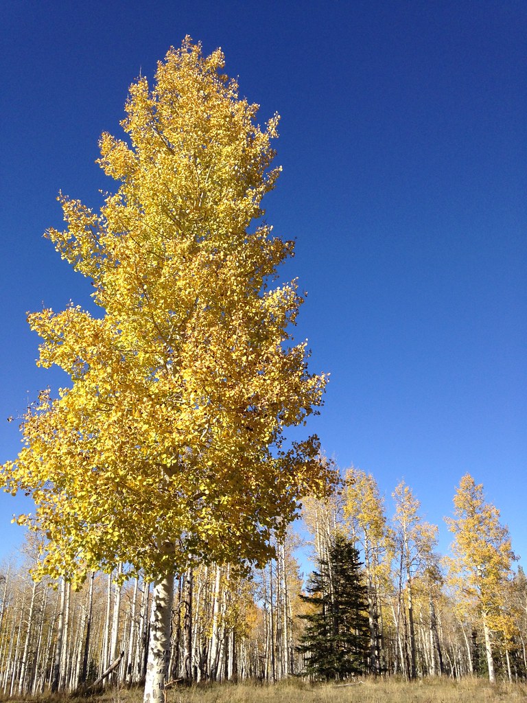 Black PineHiking · ~28 min drivePhoto: iagoarchangel, CC BY-SA 2.0 (via Flickr)
- UnaweepHiking · ~19 min drive
- Bachelor Basin TrailHiking · ~28 min drive
- Cutler Rim TrailHiking · ~1 min drivePhoto: Argyleist, CC BY 2.0 (via Flickr)
- North Fork Bear CanyonHiking · ~18 min drive
- Hideout RoadHiking · ~21 min drive
- Vista Grande LoopHiking · ~1 min drivePhoto: Argyleist, CC BY 2.0 (via Flickr)
- Middle Fork Bear CanyonHiking · ~21 min drive
- Sinbad RidgeHiking · ~21 min drive
Also worth it near here
- Runway TrailMountain biking · Next doorPhoto: Jeffrey Beall, CC BY 4.0 (via Wikimedia Commons)
- Juanita ArchNatural arch · ~15 min drive
 County Line BouldersRock climbing · ~23 min drivePhoto: SymphonicPoet, CC BY 2.0 (via Flickr)
 Mount WaasSummit · ~28 min drivePhoto: Steven Baltakatei Sandoval, CC BY-SA 4.0 (via Wikimedia Commons)
Best time to visit Runway Trail
Best months: March–May and September–November. Best months have typical highs of 55–85 °F, lows of 30 °F or warmer (32 °F where the station doesn't record snow), at most one snowy day and no more than 12 wet days.
Jan
45° / 21°
6 wet · 2 snow
Feb
52° / 27°
5 wet · 1 snow
Mar
63° / 34°
6 wet · 1 snow
Apr
70° / 40°
6 wet
May
80° / 48°
6 wet
Jun
91° / 57°
4 wet
Jul
95° / 64°
6 wet
Aug
92° / 62°
7 wet
Sep
85° / 53°
6 wet
Oct
71° / 41°
5 wet
Nov
57° / 30°
4 wet · 1 snow
Dec
45° / 22°
5 wet · 3 snow
Typical high / low (°F) and days with rain or snow, 1991–2020. Measured at Gateway 1ene, CO, 1.5 mi away at 4,671 ft. Source: NOAA NCEI U.S. Climate Normals 1991–2020.
Map and trail data © OpenStreetMap contributors
