Sourdough Springs Campground
Campground
Campground · 4.9 mi from the trail
The Rocky Mountain Greenway Trail is an easy hike of about 4.2 miles on Rocky Flats National Wildlife Refuge in Colorado, managed by the U.S. Fish and Wildlife Service. The route has a total elevation gain of about 200 feet, which makes it a low-key outing rather than a climb. Late spring and early fall are the most comfortable times to go. Typical averages from a nearby weather station show May highs around 69°F and September highs around 76°F, with July peaking near 87°F. Several other trails sit close by. The Rocky Mountain Greenway Trailc is about 0.1 mile away and the Old Rocky Mountain Greenway Trail about 0.4 mile. The Lindsay Ranch Loop Trail is roughly a mile off, and Sourdough Springs Campground offers camping about 4.9 miles away.
Sourdough Springs Campground
Campground
The Flats Beer Garden
Bar
 If it rainsFootwarrior, CC BY-SA 3.0 · Wikimedia Commons
Railroad museum in Golden, Colorado
Places © OpenStreetMap contributors · Photos: Footwarrior, CC BY-SA 3.0 (commons)
More in Idaho SpringsNot on Roamze yet. Their page has how to reach them.
 Buoux MontanaRock climbingPhoto: npdoty, CC BY 2.0 (via Flickr)3.4 mi
 Tipi VillageCampingPhoto: Jeffrey Beall, CC BY 3.0 (via Wikimedia Commons)5.2 mi
 Boulder CreekCanoeingPhoto: Susan from Alameda, CA, USA, CC BY 2.0 (via Wikimedia Commons)9.9 mi
Source: Roamze catalog (indexable pages within 10 miles, PostGIS distance)
 FlatIrons Vista South TrailHiking · ~4 min drivePhoto: andrusdevelopment, CC BY 2.0 (via Flickr)
 West Ridge Climbing Access TrailHiking · ~8 min drivePhoto: andrusdevelopment, CC BY 2.0 (via Flickr)
 High Plains TrailHiking · ~5 min drivePhoto: Dave Dugdale, CC BY-SA 2.0 (via Flickr)
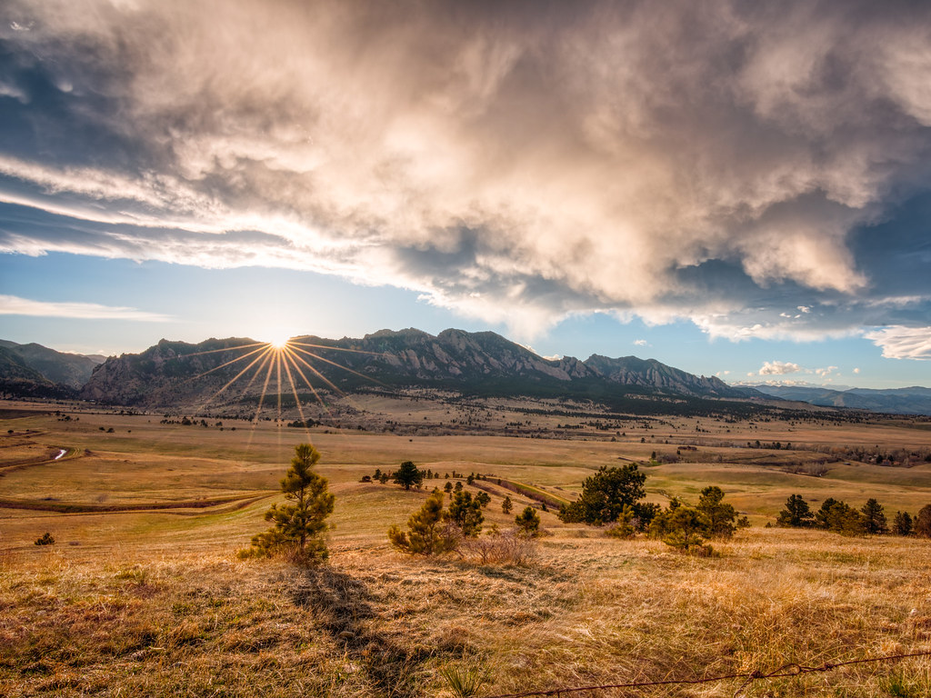 Prairie Vista TrailHiking · ~5 min drivePhoto: Max and Dee, CC BY 2.0 (via Flickr)FlatIrons Vista TrailHiking · ~5 min drivePhoto: Max and Dee, CC BY 2.0 (via Flickr)
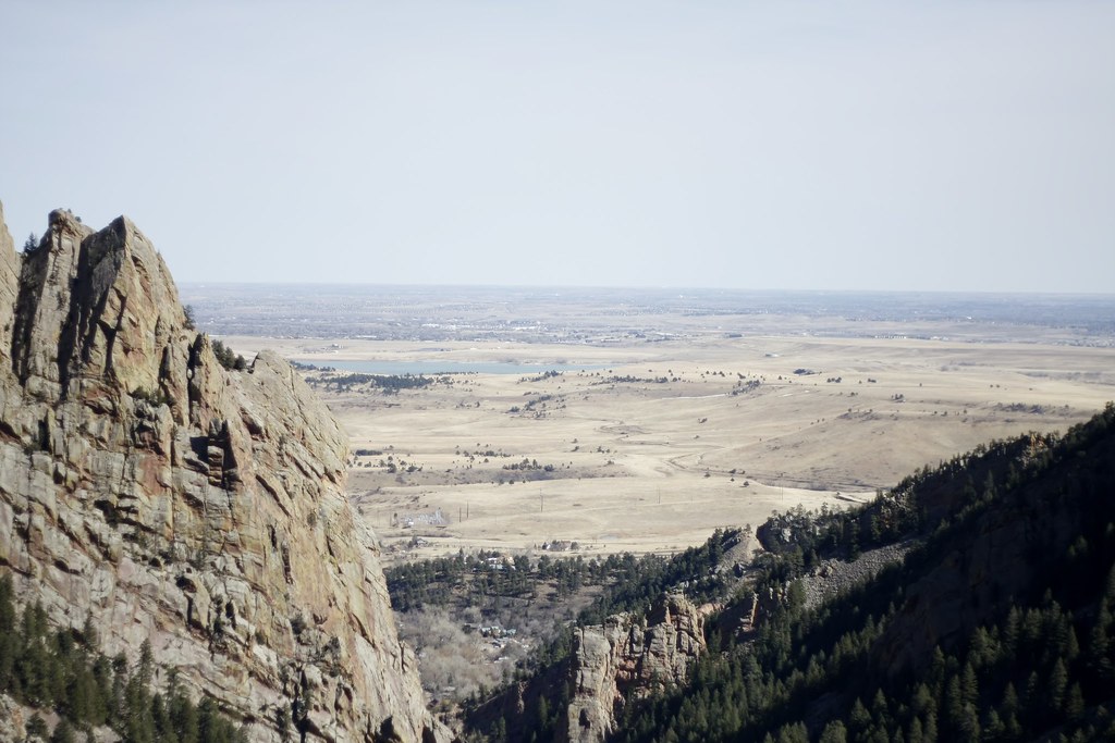 Doudy Draw TrailHiking · ~5 min drivePhoto: andrusdevelopment, CC BY 2.0 (via Flickr)
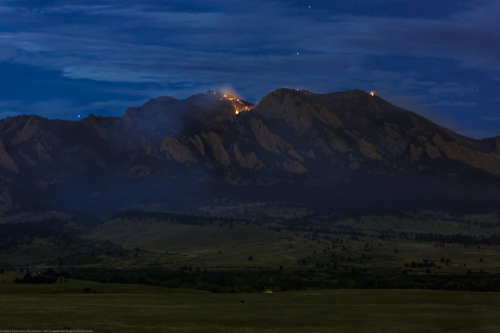 High Plains TrailHiking · ~5 min drivePhoto: Dave Dugdale, CC BY-SA 2.0 (via Flickr)Greenbelt Plateau TrailHiking · ~5 min drivePhoto: Dave Dugdale, CC BY-SA 2.0 (via Flickr)FlatIrons Vista North TrailHiking · ~5 min drivePhoto: andrusdevelopment, CC BY 2.0 (via Flickr)
 Spring Brook Loop North TrailHiking · ~6 min drivePhoto: Josh Gross — CC BY 2.0 (via Flickr)
Best months: April–June and August–October. Best months have typical highs of 55–85 °F, lows of 30 °F or warmer (32 °F where the station doesn't record snow), at most one snowy day and no more than 12 wet days.
Jan
45° / 23°
4 wet
Feb
46° / 22°
5 wet
Mar
54° / 29°
6 wet
Apr
60° / 35°
8 wet
May
69° / 45°
9 wet
Jun
81° / 55°
7 wet
Jul
87° / 61°
7 wet
Aug
84° / 59°
8 wet
Sep
76° / 51°
6 wet
Oct
64° / 39°
5 wet
Nov
53° / 30°
4 wet
Dec
45° / 23°
4 wet
Typical high / low (°F) and days with rain or snow, 1991–2020. Measured at Ralston Rsvr, CO, 3.8 mi away at 5,900 ft. We don't have this place's elevation, so higher spots nearby can run cooler. This station doesn't record snowfall. Source: NOAA NCEI U.S. Climate Normals 1991–2020.
Map and trail data © OpenStreetMap contributors

