Rio Lado
- 3.1 mi
- loop
- 920 ft
- climb
- 9,124 ft
- high point
- Loop
- route
Is Rio Lado open right now?
Closure in the area
There's a closure order in San Juan National Forest. It doesn't name Rio Lado, so check the source for the area it covers (3 listed).
Travel is not advised to the San Juan NF
Agency closure covering San Juan National Forest · USFS · San Juan National Forest
Closures and dangerous conditions on roads, bridges, and trails from flooding
Agency closure covering San Juan National Forest · USFS · San Juan National Forest
Multiple roads and trails damaged by flooding on SJNF
Agency closure covering San Juan National Forest · USFS · San Juan National Forest
Bear Activity High Across San Juan National Forest
Agency alert covering San Juan National Forest · USFS · San Juan National Forest
As of · Source: USFS · San Juan National Forest. Agencies don't list every closure — check before you go.
Rio Lado is a 3.1-mile loop hike in the Mancos/Dolores Ranger District of Colorado's San Juan National Forest, about 3 miles from the town of Silverton. The trail climbs from a low point of 8,107 feet to a high of 9,124 feet, with a total elevation gain of 920 feet. It is a moderate route on a natural-surface trail, and both horses and bikes are allowed. Summer is the most comfortable time to go. Typical averages from a nearby weather station in Silverton show July highs around 75°F with lows near 38°F, while winter highs stay in the mid-30s. The hike is open from June 1 through October 31 and takes about 1.5 hours to complete. Nearby trails include Section House, about a mile away, and School House, at roughly 1.2 miles. Climbers can head to Hillside Drive in San Juan National Forest, about 3 miles off, and West Dolores Campground is just under 9 miles away.
Local outfitters
- Alpen Rose RV Park22 mi away
- HTR Resorts23 mi away
Not on Roamze yet. Their page has how to reach them.
Best time to go
Best time to visit Rio Lado
No month here meets our mild-weather rule. Best months have typical highs of 55–85 °F, lows of 30 °F or warmer (32 °F where the station doesn't record snow), at most one snowy day and no more than 12 wet days.
Jan
34° / -6°
9 wet
Feb
36° / -3°
9 wet
Mar
43° / 6°
10 wet
Apr
48° / 17°
9 wet
May
58° / 25°
9 wet
Jun
70° / 31°
7 wet
Jul
75° / 38°
13 wet
Aug
72° / 37°
15 wet
Sep
66° / 30°
12 wet
Oct
55° / 20°
9 wet
Nov
43° / 7°
8 wet
Dec
34° / -5°
9 wet
Typical high / low (°F) and days with rain or snow, 1991–2020. Measured at Silverton, CO, 29.8 mi away at 9,285 ft. This station doesn't record snowfall. Source: NOAA NCEI U.S. Climate Normals 1991–2020.
Keep exploring — more trails worth the drive
 Photo: Sale Family Memories, CC BY 2.0 (via Flickr)
School House
~2 min drive
5.25-mile out-and-back trail in Colorado with 1,667 ft of elevation gain.
 Photo: cmirkin, CC BY-SA 2.0 (via Flickr)
Rio Grande Southern
~9 min drive
5.22-mile out-and-back trail in Colorado's San Juan National Forest with 198 ft gain.
Photo: cmirkin, CC BY-SA 2.0 (via Flickr)Burnett Connector
~12 min drive
2.8-mile out-and-back trail in Colorado with 384 ft elevation gain.
HIKE
Priest Gulch Trail
~3 min drive
15.24-mile out-and-back trail in Colorado with 4,513 ft elevation gain and loss.
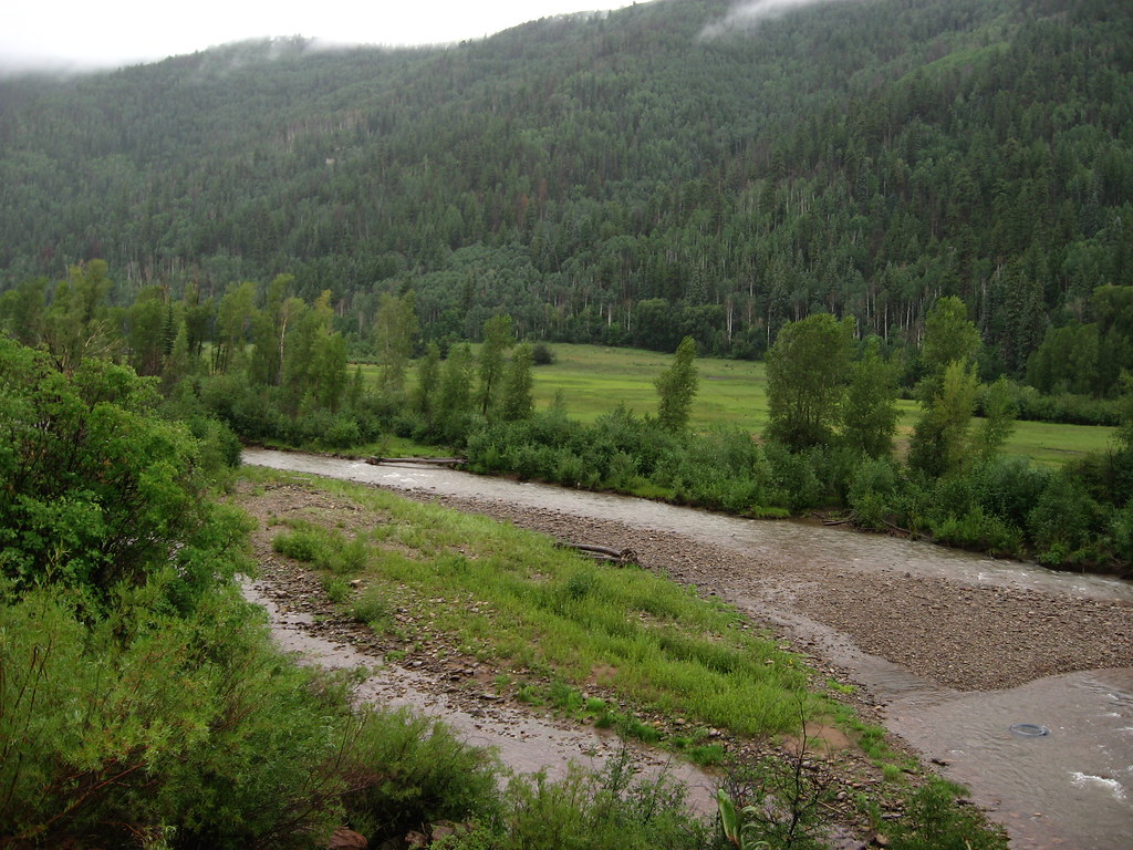 Photo: Ken Lund, CC BY-SA 2.0 (via Flickr)
Little Taylor
~8 min drive
7.44-mile out-and-back trail in Colorado with 1,707 ft gain and 10,242 ft max elevation.
HIKE
Section House
~2 min drive
5.52-mile out-and-back trail in Colorado with 2,036 ft of elevation gain.
HIKE
Pack Loop Connector
~5 min drive
0.88-mile out-and-back trail in Colorado with 446 ft of elevation gain.
HIKE
Calico South Trail
~3 min drive
24.04-mile out-and-back trail in Colorado with 5,954 ft elevation gain/loss.
HIKE
Rough Canyon Trail
~3 min drive
9.46-mile out-and-back trail in Colorado with 3,484 ft elevation gain and loss.
HIKE
Morrison
~5 min drive
5.64-mile out-and-back trail in Colorado with 1,671 ft elevation gain.

