Pool Creek
- 4.7 mi
- round trip
- 2,715 ft
- climb
- 9,689 ft
- high point
- Out and back
- route
Caution at last check
Agency alerts are in effect for this area; weather is marginal · USFS, OpenWeather · checked 15 h ago
Is Pool Creek open right now?
Closure in the area
There's a closure order in Grand Mesa, Uncompahgre and Gunnison National Forests. It doesn't name Pool Creek, so check the source for the area it covers (2 listed).
Gold Mountain Wildfire Roads and Trails Closure Order v 4.0
Agency closure covering Grand Mesa, Uncompahgre and Gunnison National Forests · USFS · Grand Mesa, Uncompahgre and Gunnison National Forests
Ophir Pass Road Closure
Agency closure covering Grand Mesa, Uncompahgre and Gunnison National Forests · USFS · Grand Mesa, Uncompahgre and Gunnison National Forests
Potter Basin Road Closure Order
Agency alert covering Grand Mesa, Uncompahgre and Gunnison National Forests · USFS · Grand Mesa, Uncompahgre and Gunnison National Forests
Beaver Park Road Closure Order
Agency alert covering Grand Mesa, Uncompahgre and Gunnison National Forests · USFS · Grand Mesa, Uncompahgre and Gunnison National Forests
TERMINATION OF ORDER - FIRE RESTRICTIONS
Agency alert covering Grand Mesa, Uncompahgre and Gunnison National Forests · USFS · Grand Mesa, Uncompahgre and Gunnison National Forests
As of · Source: USFS · Grand Mesa, Uncompahgre and Gunnison National Forests. Agencies don't list every closure — check before you go.
Pool Creek is a moderate out-and-back hike in Colorado's Ouray Ranger District, part of the Grand Mesa, Uncompahgre and Gunnison National Forests. The trail is about 4.7 miles long, with a one-way elevation gain of 1,201 feet, and it climbs from a low point of 8,457 feet to a high of 9,689 feet. The steepest stretch comes early on, around 0.4 miles in, with a grade of about 25 percent. The Forest Service manages the land, and the trail is natural-surface. Horses are allowed, but bikes are not, and the route is not accessible. The trip is estimated to take about three hours, and the trail is open year-round. Nearby, Old Roubideau and Grays Creek are both hikes within about 2.6 miles. Antone Spring Camping Area and Iron Springs Campground offer places to camp, roughly 2.9 and 4.1 miles away.
Local outfitters
- CampV21 mi away
- Cedar Creek RV Park and Lodging22 mi away
Not on Roamze yet. Their page has how to reach them.
- Old RoubideauHiking2.4 mi
- GRAYS CREEKHiking2.6 mi
- Antone Spring Camping AreaCamping2.9 mi
 Iron Springs CampgroundCampingPhoto: Jeffrey Beall, CC BY 3.0 (via Wikimedia Commons)4.1 mi
- RED CANYONHiking4.9 mi
- Old TransferHiking4.9 mi
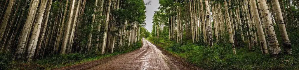 Silesca CabinCampingPhoto: Recreation.gov (RIDB) / public domain5.7 mi
- Horsefly CreekCanoeing9.6 mi
Source: Roamze catalog (indexable pages within 10 miles, PostGIS distance)
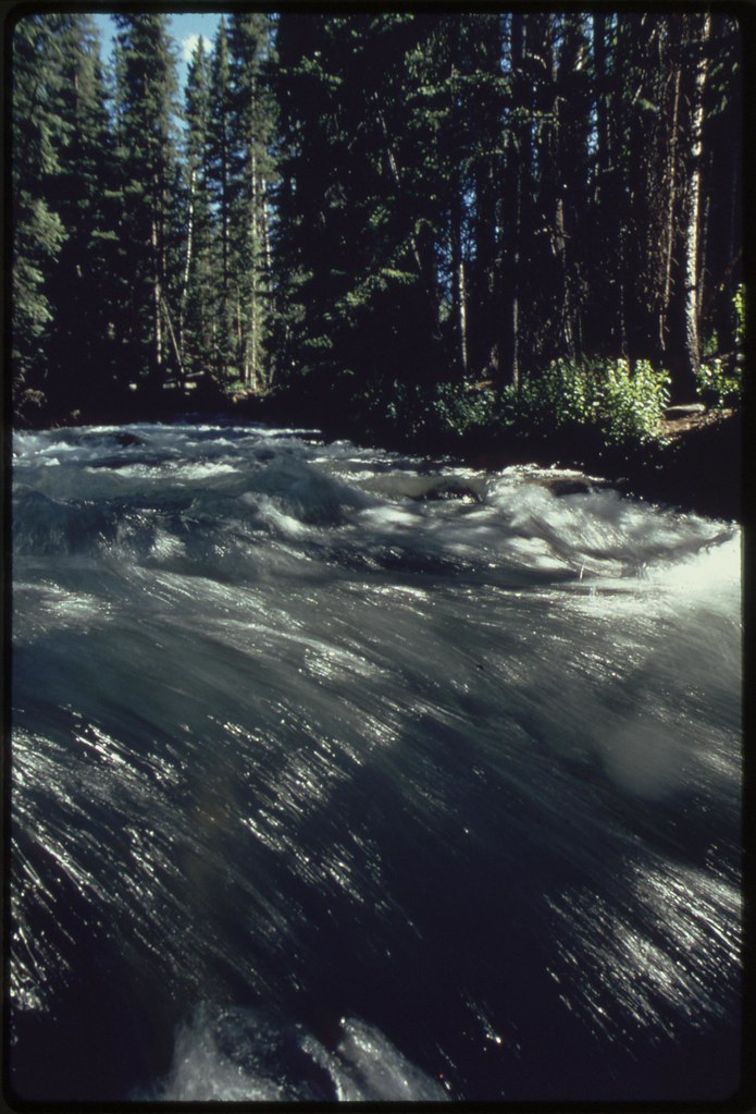 EAST FORK DRY CREEKHiking · ~14 min drivePhoto: U.S. National Archives, No known copyright restrictions (via Flickr)
- SPRING CREEK SPUR BHiking · ~14 min drivePhoto: U.S. National Archives, No known copyright restrictions (via Flickr)
- Old RoubideauHiking · ~4 min drive
- CLEAR CREEKHiking · ~18 min drive
- Coal BankHiking · ~9 min drive
- DRY CREEK SPURHiking · ~10 min drive
- RED CANYONHiking · ~8 min drive
- DRY CREEKHiking · ~10 min drive
- Payne MesaHiking · ~13 min drive
- Old TransferHiking · ~8 min drive
Also worth it near here
- Iron Springs CampgroundCamping · ~7 min drivePhoto: Jeffrey Beall, CC BY 3.0 (via Wikimedia Commons)
- Old Transfer Bike TrailMountain biking · ~12 min drive
- Cottonwood Ledges Boat RampBoat launch · ~18 min drive
- Starvation PointSummit · ~21 min drive
 San Miguel RiverCanoeing · ~22 min drivePhoto: Cawright2007, CC BY-SA 3.0 (via Wikimedia Commons)
