Pinyon Point Loop
- 2.5 mi
- round trip
- 1,238 ft
- climb
- 6,919 ft
- high point
- Out and back
- route
- May–Oct
- best months
Pinyon Point Loop is a 2.5-mile hike on Bureau of Land Management land in the Uncompahgre Field Office in Colorado. The route is an out-and-back with a steady climb, and the round trip reaches a total elevation gain of about 1,240 feet. The high point on the loop sits at about 6,919 feet, and the low point at about 6,745 feet. The steepest section comes at about 0.8 miles in, with a grade of roughly 8 percent. The loop is a moderate hike that takes about 2.5 hours to complete. For comfortable weather, late spring through early fall works best. Typical averages from a nearby weather station run from highs around 67°F in May to about 83°F in July, with September easing back to around 73°F. Several other outings sit close by. Mckee Draw and Redtail are mountain biking trails within half a mile. Flat Iron Loop and Cedar Post Loop are hikes about a mile away.
Local outfitters
- CampV15 mi away
- Cedar Creek RV Park and Lodging35 mi away
Not on Roamze yet. Their page has how to reach them.
- Mckee DrawMountain biking0.4 mi
- RedtailMountain biking0.5 mi
- Flat Iron LoopHiking0.6 mi
- Cedar Post LoopHiking1 mi
- Hideout Canyon LoopHiking1.1 mi
 San Miguel RiverCanoeingPhoto: Cawright2007, CC BY-SA 3.0 (via Wikimedia Commons)2.7 mi
- Naturita CreekCanoeing3.6 mi
- Clay Creek CragRock climbing5.9 mi
Source: Roamze catalog (indexable pages within 10 miles, PostGIS distance)
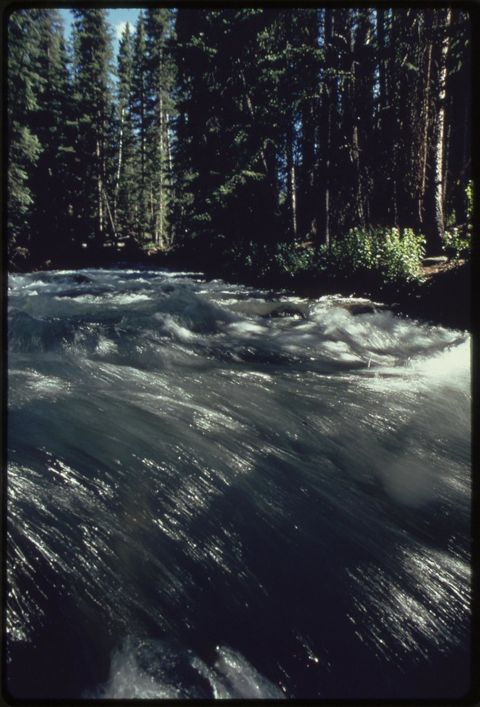 SPRING CREEK SPUR BHiking · ~28 min drivePhoto: U.S. National Archives, No known copyright restrictions (via Flickr)
- EAST FORK DRY CREEKHiking · ~29 min drivePhoto: U.S. National Archives, No known copyright restrictions (via Flickr)
- THUNDER LOOPHiking · ~7 min drive
- Bucktail Draw LoopHiking · ~20 min drive
- Flat Iron LoopHiking · ~1 min drive
- Paradox TrailHiking · ~23 min drive
- PORTIS LOOPHiking · ~9 min drive
- CLEAR CREEKHiking · ~28 min drive
- Cedar Post LoopHiking · ~2 min drive
- BUCKTAIL CREEKHiking · ~23 min drive
Best time to visit Pinyon Point Loop
Best months: May–October. Best months have typical highs of 55–85 °F, lows of 30 °F or warmer (32 °F where the station doesn't record snow), at most one snowy day and no more than 12 wet days.
Jan
38° / 10°
Feb
41° / 17°
Mar
51° / 24°
Apr
58° / 29°
May
67° / 35°
Jun
78° / 47°
Jul
83° / 52°
Aug
80° / 51°
Sep
73° / 44°
Oct
62° / 32°
Nov
49° / 21°
Dec
38° / 12°
Typical high / low (°F) and days with rain or snow, 1991–2020. Measured at Norwood #2, CO, 3.2 mi away at 7,011 ft. This station doesn't record snowfall. Source: NOAA NCEI U.S. Climate Normals 1991–2020.
Map and trail data © OpenStreetMap contributors
