Camp Hale East Fork Group Campground
Campground
Campground · 6.5 mi from the trail
Alert in the area
The Forest Service lists 6 alerts for White River National Forest.
FSR 286, Radical Hill, is closed due to washouts and unsafe conditions
Agency alert covering White River National Forest · USFS · White River National Forest
Limited parking at Snowmass Creek Trailhead
Agency alert covering White River National Forest · USFS · White River National Forest
Grizzly Creek Trail Closure
Agency alert covering White River National Forest · Order 2026-02 · USFS · White River National Forest
Ruedi Marina Day Use area Dump Station is CLOSED
Agency alert covering White River National Forest · USFS · White River National Forest
Asbestos safety closure - Camp Hale
Agency alert covering White River National Forest · USFS · White River National Forest
As of · Source: USFS · White River National Forest. Agencies don't list every closure — check before you go.
Pacific Peak is a 6.5-mile round-trip hike in the Dillon Ranger District of Colorado's White River National Forest, managed by the Forest Service. The trail starts at Mayflower Gulch TH #1178 and climbs about 4,790 feet to reach the summit at 13,868 feet. The mapped route ends roughly 0.8 miles and 1,605 feet short of the top, and the final stretch is off-trail with no mapped path, so route-finding is needed. The hike is rated expert, and the climb is steep. The total gain and loss are both about 4,790 feet, so plan for a long day with significant elevation. Nearby, Bartlett Mountain is about 3.2 miles away, and the Crystal Lake mountain biking area is about 3.3 miles off. Alpine Rock and Quandary Peak, both climbing areas, are each about 4 miles away.
Camp Hale East Fork Group Campground
Campground
 If it rainsPlazak, CC BY 3.0 · Wikimedia Commons
Matchless Mine
Attraction
Places © OpenStreetMap contributors · Photos: Plazak, CC BY 3.0 (commons)
More in LeadvilleDaily highs and lows, wind and the chance of precipitation at the summit and route start for the next 7 days, from the Open-Meteo model.
 Tenmile CreekCanoeingPhoto: Jeffrey Beall, CC BY 3.0 (via Wikimedia Commons)5.9 mi
Source: Roamze catalog (indexable pages within 10 miles, PostGIS distance)
 Clinton Gulch Reservoir TrailHiking · ~3 min drivePhoto: kalestews, CC BY 2.0 (via Flickr)
 Wheeler Nat. Rec. Trail - ColoradoHiking · ~7 min drivePhoto: randomduck, CC BY-SA 2.0 (via Flickr)
 Crystal LakeHiking · ~7 min drivePhoto: ChrisYunker, CC BY 2.0 (via Flickr)Spruce CreekHiking · ~8 min drivePhoto: ChrisYunker, CC BY 2.0 (via Flickr)
 Trail near Fletcher MountainHiking · ~6 min drivePhoto: jl_2, CC BY-SA 2.0 (via Flickr)
 Atlantic PeakHiking · ~8 min drivePhoto: Kevin R Foote, CC BY-SA 3.0 (via Wikimedia Commons)
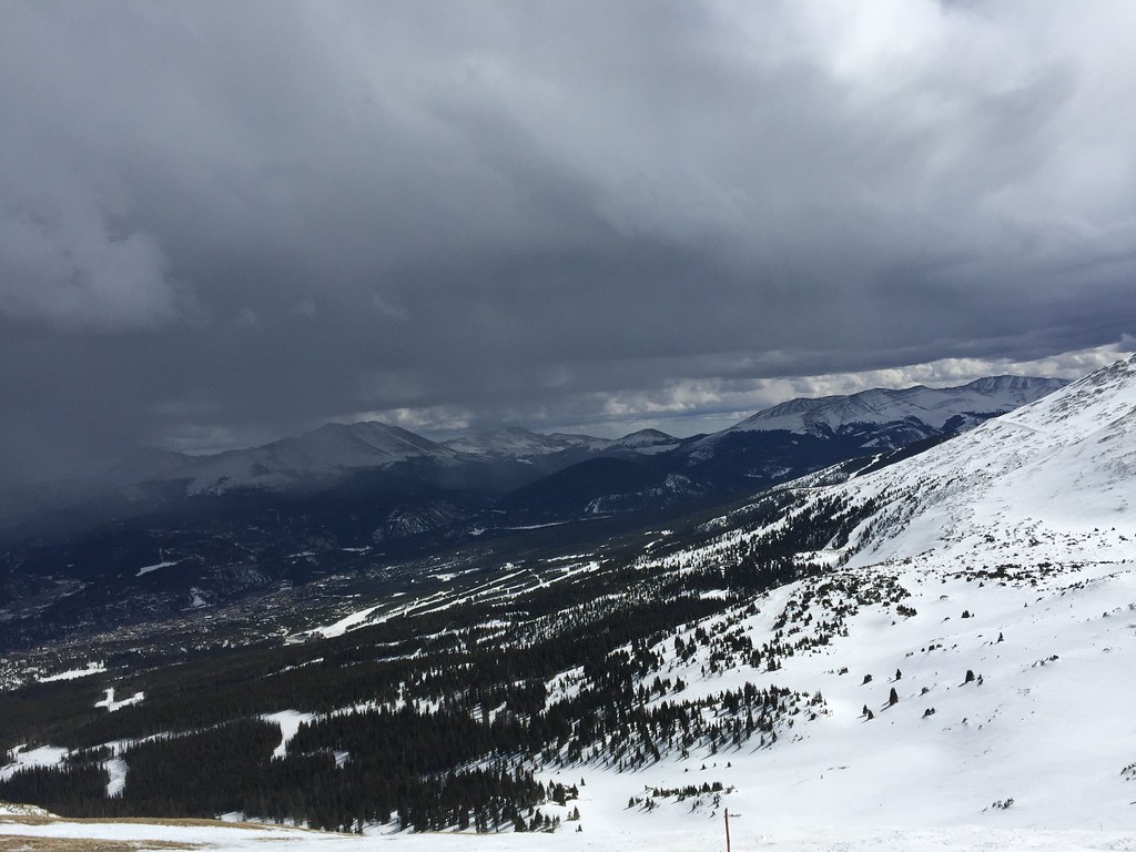 Miner's Creek - Peak 6Hiking · ~9 min drivePhoto: zappowbang, CC BY-SA 2.0 (via Flickr)Red MountainHiking · ~9 min drivePhoto: Kevin R Foote, CC BY-SA 3.0 (via Wikimedia Commons)Trail near Lower Crystal LakeHiking · ~7 min drivePhoto: ChrisYunker, CC BY 2.0 (via Flickr)Wheeler MountainHiking · ~8 min drivePhoto: Kevin R Foote, CC BY-SA 3.0 (via Wikimedia Commons)
Also worth it near here
About 6.5 mi round trip from Mayflower Gulch TH #1178.
About 4,790 ft of climbing round trip.
It is rated expert.
Mayflower Gulch TH #1178.
© openrouteservice.org by HeiGIT | Map data © OpenStreetMap contributors


