Rock Creek Campground
Campground
Campground · 6.0 mi from the trail
Northern Rock Creek Trail is an easy hike on Bureau of Land Management land in the San Luis Valley Field Office of Colorado, about 2 miles from the town of Monte Vista. The trail is an out-and-back route that starts and ends at about 8,250 feet, with a high point of 8,252 feet and a low of 7,885 feet along the way. The climb is short, with a total elevation gain of about 58 feet, and the steepest stretch comes at about 2.1 miles in, where the grade reaches nearly 49%. Summer is the most comfortable time to go. Typical averages from a nearby weather station in Monte Vista show July highs around 80°F with lows near 45°F, while winter highs stay in the low 30s and lows drop to near zero. Rimrock Trail and Dry Creek are both within about 5 miles. Rock Creek Campground and the Frobidden Land climbing area are each about 6 miles away.
Rock Creek Campground
Campground
Rio Grande County Museum
Museum
Places © OpenStreetMap contributors, Places © Overture Maps Foundation
More in South ForkNot on Roamze yet. Their page has how to reach them.
Source: Roamze catalog (indexable pages within 10 miles, PostGIS distance)
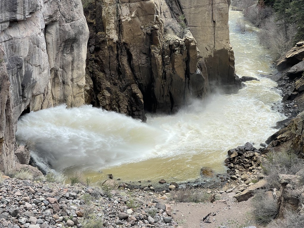 Hot Creek TrailHiking · ~20 min drivePhoto: Jeffrey Beall, CC BY-SA 2.0 (via Flickr)
Best months: June–September. Best months have typical highs of 55–85 °F, lows of 30 °F or warmer (32 °F where the station doesn't record snow), at most one snowy day and no more than 12 wet days.
Jan
33° / -2°
3 wet
Feb
40° / 5°
4 wet
Mar
51° / 16°
4 wet
Apr
59° / 22°
4 wet
May
67° / 31°
5 wet
Jun
77° / 38°
5 wet
Jul
80° / 45°
10 wet
Aug
78° / 43°
11 wet
Sep
73° / 35°
7 wet
Oct
62° / 23°
5 wet
Nov
48° / 12°
4 wet
Dec
34° / 0°
3 wet
Typical high / low (°F) and days with rain or snow, 1991–2020. Measured at Monte Vista 2w, CO, 5.5 mi away at 7,695 ft. The station sits about 600 ft lower than this place, so expect it a little cooler here. This station doesn't record snowfall. Source: NOAA NCEI U.S. Climate Normals 1991–2020.
Map and trail data © OpenStreetMap contributors


