

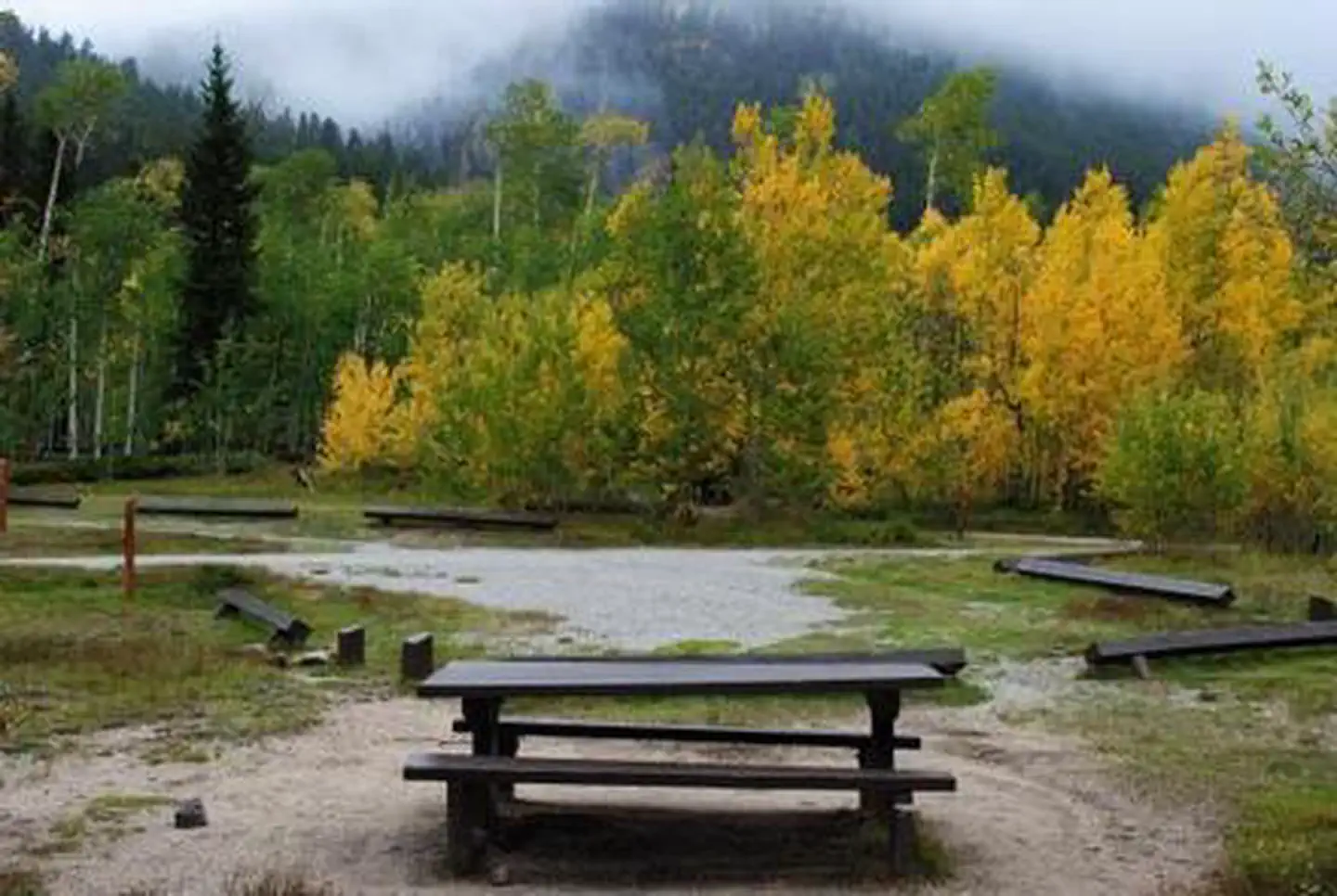
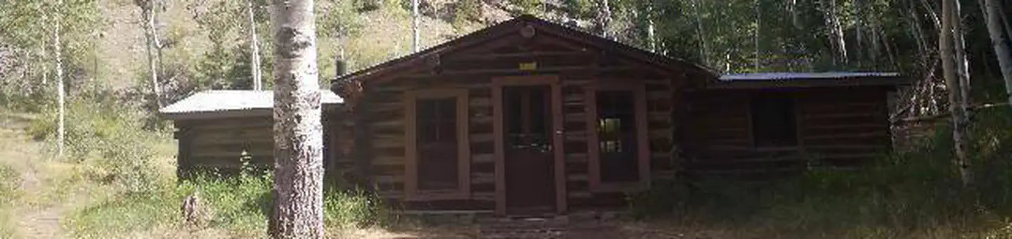
Arrowhead Point Campground and Cabins
Hiking business nearby (~9 mi away) — hasn't claimed their Roamze page yet
Free — you'll pick up right here.
Watch this trail
Sign up to watch it — saving subscribes you to gate, closure and report changes.
Colorado
2.9 mi
Distance
2,058 ft
Gain
We won't guess. Here is exactly what we do and don't know.
What we do know
Inside Pike and San Isabel National Forests
3 managing-area boundaries mapped — agency alerts for them feed this page automatically.
Boundary data
What's missing
No access route mapped
We don't yet know which road reaches this trailhead, so we can't tell you if it's gated.
Nobody's filed a report here yet — be the first.
Why you'll love it
Mt. Harvard
AI-suggested draft · review before you go
Mt. Harvard is a 3.1-mile out-and-back trail located in Colorado near the town of Colorado. The trail is managed by the San Juan National Forest, Columbine Ranger District (West). This out-and-back route offers hikers a straightforward there-and-back experience, making it accessible for those looking for a moderate outing in the San Juan Mountains region. The trail provides access to Mt. Harvard, offering scenic views characteristic of the area. Given its distance and out-and-back format, hikers can expect roughly 1.5 miles of travel in each direction. The San Juan National Forest encompasses diverse terrain and wildlife habitats, and this trail provides an opportunity to experience the natural landscape managed by the Forest Service. Before heading out, check current conditions with the Columbine Ranger District, as weather and trail maintenance can vary seasonally. The trail is suitable for day hikers seeking a moderate adventure in southwestern Colorado's mountains.

Three Elk
~7 min drive
6.2 mi · Hard
Bunny's Trail
~7 min drive
1.7 mi · Easy
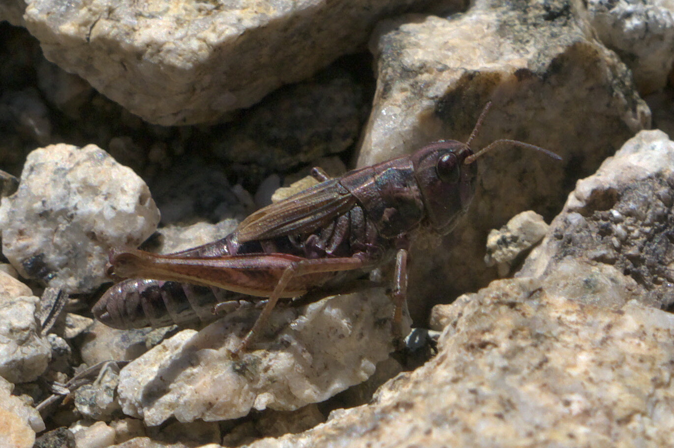
Missouri Mtn
~8 min drive
3.2 mi · Moderate
Mount Columbia
~6 min drive
Standard route to Mount Columbia (14,077 ft) from North Cottonwood Creek.

Missouri Mtn - Clohseys Lake
~10 min drive
3.1 mi · Hard

Mt. Belford - Elkhead Pass
~7 min drive
1.7 mi · Easy

Mt. Belford - Missouri Gulch
~9 min drive
3.5 mi · Moderate
Mount Harvard
~6 min drive
Standard route to Mount Harvard (14,421 ft) from North Cottonwood Creek.

Waterloo Gulch
~10 min drive
6.9 mi · Hard
Mt. Oxford - Mt. Belford
~7 min drive
2.8 mi · Easy
Local operatorsoffering guided trips. You book directly with them — Roamze doesn’t take a cut.
Arrowhead Point Campground and Cabins
Hiking business nearby (~9 mi away) — hasn't claimed their Roamze page yet
Valley Mobile RV Park
Hiking business nearby (~9 mi away) — hasn't claimed their Roamze page yet
Mt. Princeton RV Park
Hiking business nearby (~10 mi away) — hasn't claimed their Roamze page yet