Gennessee ropes camp spot
Campground
Campground · 3.2 mi from the trail
 Photo: Tony Webster — CC BY 2.0 (via Flickr)
Mayhem Gulch Trail is a short, easy hike in Colorado, about 2.4 miles from the town of Rainbow Hills. The route is roughly 2.4 miles long and gains about 400 feet in elevation, making it a gentle climb that can be done in about an hour. Summer is the most comfortable time to go. Typical averages from a nearby weather station in Evergreen show July highs around 81°F with lows near 49°F, while September cools to highs in the low 70s. The trail sits close to several climbing areas, including Jerky Boulder (263) at 0.6 miles and High Profile Wall at 0.7 miles. Juniper Trail is 0.9 miles away, and the Elk Range Trail for mountain biking is 1.1 miles off.
Gennessee ropes camp spot
Campground
 If it rains25or6to4, CC BY-SA 3.0 · Wikimedia Commons
Places © OpenStreetMap contributors · Photos: 25or6to4, CC BY-SA 3.0 (commons)
More in Idaho SpringsNot on Roamze yet. Their page has how to reach them.
 Juniper TrailHikingPhoto: Vadim Manuylov, CC BY-SA 3.0 (via Wikimedia Commons)0.9 mi
 Bear CreekCanoeingPhoto: Footwarrior, CC BY-SA 3.0 (via Wikimedia Commons)7.2 mi
 Clear Creek RV ParkCampingPhoto: cogdogblog, CC BY 2.0 (via Wikimedia Commons)7.5 mi
Source: Roamze catalog (indexable pages within 10 miles, PostGIS distance)
Juniper TrailHiking · ~1 min drivePhoto: Vadim Manuylov, CC BY-SA 3.0 (via Wikimedia Commons)Elk Range TrailHiking · ~2 min drivePhoto: Vadim Manuylov, CC BY-SA 3.0 (via Wikimedia Commons)Canyon View LoopHiking · ~3 min drivePhoto: Tony Webster — CC BY 2.0 (via Flickr) Beaver Brook TrailHiking · ~6 min drivePhoto: Jesse James — CC BY 2.0 (via Flickr)
 Beaver TrailHiking · ~11 min drivePhoto: Brian from California Desert, United States, CC BY 2.0 (via Wikimedia Commons)Floyds LoopHiking · ~3 min drivePhoto: Tony Webster — CC BY 2.0 (via Flickr)
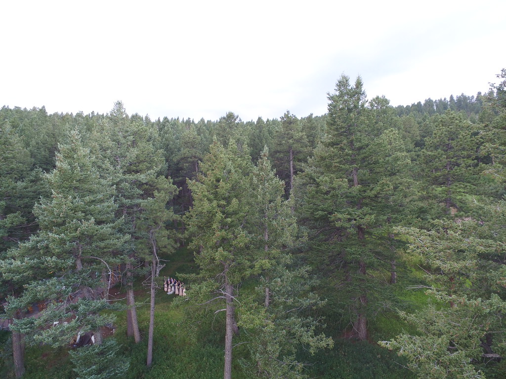 Genesee Summit TrailHiking · ~8 min drivePhoto: VasenkaPhotography, CC BY 2.0 (via Flickr)Meadow Loop TrailHiking · ~4 min drivePhoto: Vadim Manuylov, CC BY-SA 3.0 (via Wikimedia Commons)
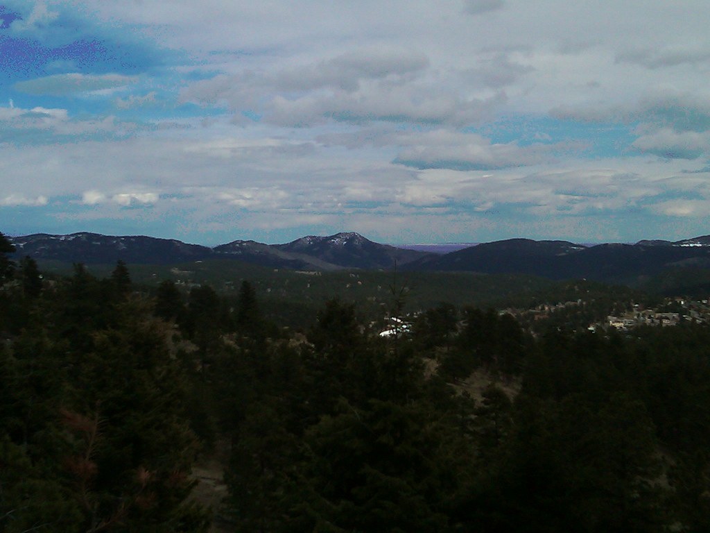 Bergen Peak TrailHiking · ~9 min drivePhoto: supercraigtalbert, CC BY 2.0 (via Flickr)Saddleback Mountain TrailHiking · ~5 min drivePhoto: Tony Webster — CC BY 2.0 (via Flickr)
Best months: May–September. Best months have typical highs of 55–85 °F, lows of 30 °F or warmer (32 °F where the station doesn't record snow), at most one snowy day and no more than 12 wet days.
Jan
44° / 12°
5 wet
Feb
44° / 13°
6 wet
Mar
51° / 21°
7 wet
Apr
56° / 27°
8 wet
May
64° / 36°
10 wet
Jun
76° / 43°
10 wet
Jul
81° / 49°
12 wet
Aug
79° / 47°
12 wet
Sep
73° / 40°
8 wet
Oct
61° / 29°
6 wet
Nov
51° / 20°
5 wet
Dec
44° / 13°
5 wet
Typical high / low (°F) and days with rain or snow, 1991–2020. Measured at Evergreen, CO, 7.5 mi away at 6,985 ft. We don't have this place's elevation, so higher spots nearby can run cooler. This station doesn't record snowfall. Source: NOAA NCEI U.S. Climate Normals 1991–2020.
Map and trail data © OpenStreetMap contributors

