Collegiate Peaks
Campground
Campground · 4.7 mi from the trail
Road closed
Forest Service Road 306: road closure is listed as closed by CDOT 511.
Forest Service Road 306: road closure
Closed · ~0.1 km from Ice Mountain · CDOT 511
FSR 286, Radical Hill, is closed due to washouts and unsafe conditions
Agency alert covering Pike and San Isabel National Forests · USFS · Pike and San Isabel National Forests
Interlaken Hotel Tree Hazards
Agency alert covering Pike and San Isabel National Forests · USFS · Pike and San Isabel National Forests
Sharpe Fire Update
Agency alert covering Pike and San Isabel National Forests · USFS · Pike and San Isabel National Forests
Turquoise Lake Road (County Road 4) Closure
Agency alert covering Pike and San Isabel National Forests · USFS · Pike and San Isabel National Forests
As of · Source: CDOT 511. Agencies don't list every closure — check before you go.
Local guides with trips near here. Ask them what they're running while this is closed.
Ice Mountain is a long, steep out-and-back hike in Colorado's Pike and San Isabel National Forests, within the Salida Ranger District. The route is about 24.6 miles long, with a total elevation gain of 7,041 feet and a high point of 13,845 feet. It is an expert-level climb, and the round trip involves as much descent as ascent. The trip takes about 11.5 hours, so plan on a full day. The Forest Service manages the land, and the route is an out-and-back rather than a loop. Turner Peak sits just 0.1 mile away, and Lost Lake is 0.8 mile off. Ptarmigan Lake is about 2.1 miles away, and the Collegiate Peaks campground is roughly 4.7 miles from the summit.
Collegiate Peaks
Campground
American House Hotel Parlor
Museum
Places © OpenStreetMap contributors, Places © Overture Maps Foundation
More in PitkinDaily highs and lows, wind and the chance of precipitation at the summit and route start for the next 7 days, from the Open-Meteo model.
 Lost LakeHikingPhoto: roy.luck, CC BY 2.0 (via Flickr)0.8 mi
Source: Roamze catalog (indexable pages within 10 miles, PostGIS distance)
Lost LakeHiking · ~1 min drivePhoto: roy.luck, CC BY 2.0 (via Flickr) Hartenstein LakeHiking · ~5 min drivePhoto: Brokentaco, CC BY 2.0 (via Flickr)
 Kroenke LakeHiking · ~12 min drivePhoto: twslivxe26, CC BY-SA 2.0 (via Flickr)Mount ColumbiaHiking · ~14 min drivePhoto: twslivxe26, CC BY-SA 2.0 (via Flickr)
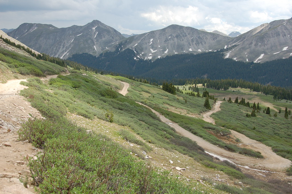 Old Tincup Pass TrailHiking · ~11 min drivePhoto: Herkie, CC BY-SA 2.0 (via Flickr)
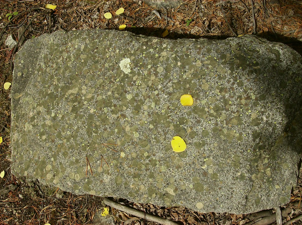 Iron Chest Mine TrailHiking · ~14 min drivePhoto: jaygannett, CC BY-SA 2.0 (via Flickr)
 Mt. Huron Trail 1507Hiking · ~17 min drivePhoto: jl_2, CC BY-SA 2.0 (via Flickr)
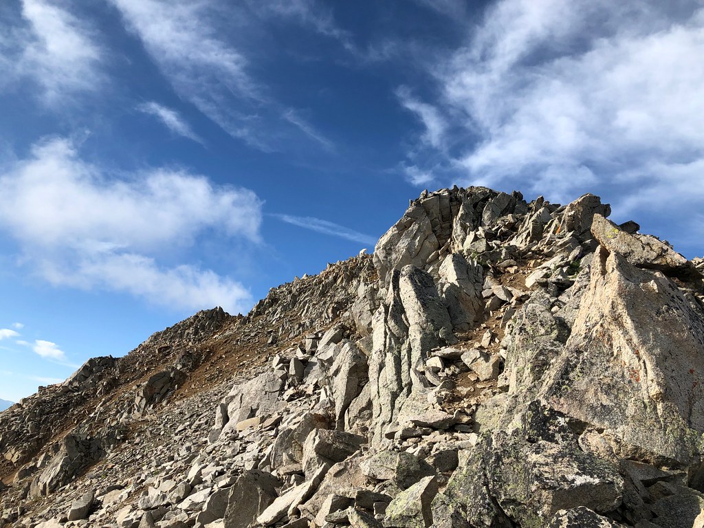 Three ApostlesHiking · ~16 min drivePhoto: supercraigtalbert, CC BY 2.0 (via Flickr)
Also worth it near here
About 24.6 mi round trip from Lost Lake Trailhead.
About 7,041 ft of climbing round trip.
It is rated expert.
Lost Lake Trailhead.
© openrouteservice.org by HeiGIT | Map data © OpenStreetMap contributors


