Kite Lake Campground
Campground
Campground · 4.2 mi from the trail
 Photo: KimonBerlin, CC BY-SA 2.0 (via Flickr)
Alert in the area
The Forest Service lists 8 alerts for Pike and San Isabel National Forests.
FSR 286, Radical Hill, is closed due to washouts and unsafe conditions
Agency alert covering Pike and San Isabel National Forests · USFS · Pike and San Isabel National Forests
Interlaken Hotel Tree Hazards
Agency alert covering Pike and San Isabel National Forests · USFS · Pike and San Isabel National Forests
National Forest Service Road 8 closure
Agency alert covering South Park Ranger District · Order 02-12-10-26-13 · USFS · South Park Ranger District
Sharpe Fire Update
Agency alert covering Pike and San Isabel National Forests · USFS · Pike and San Isabel National Forests
Turquoise Lake Road (County Road 4) Closure
Agency alert covering Pike and San Isabel National Forests · USFS · Pike and San Isabel National Forests
As of · Source: USFS · Pike and San Isabel National Forests. Agencies don't list every closure — check before you go.
Hoosier Ridge rises to 13,363 ft in Colorado. This route starts at Hoosier Pass Trailhead and covers 8.4 miles round trip with about 2,408 ft of climbing. The mapped trail ends 1.1 miles and about 275 ft short of the summit; the final stretch is off-trail with no mapped path and needs route-finding.
Kite Lake Campground
Campground
 If it rainsPlazak, CC BY 3.0 · Wikimedia Commons
Matchless Mine
Attraction
Places © OpenStreetMap contributors · Photos: Plazak, CC BY 3.0 (commons)
More in Leadville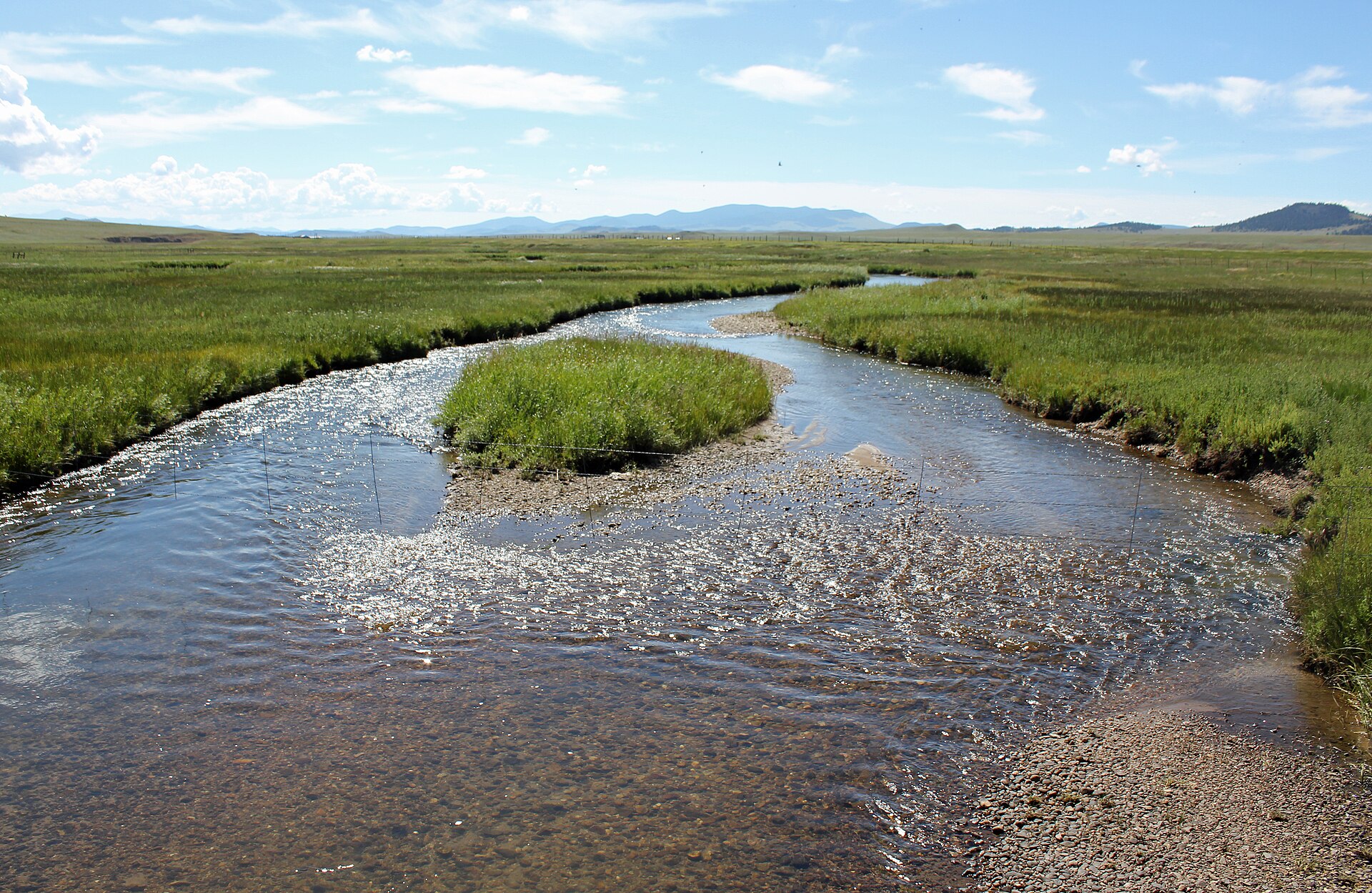 Middle Fork South Platte RiverCanoeingPhoto: Jeffrey Beall, CC BY 3.0 (via Wikimedia Commons)7.2 mi
Source: Roamze catalog (indexable pages within 10 miles, PostGIS distance)
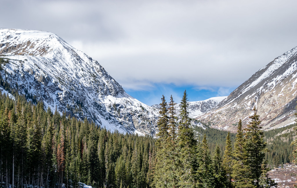 Quandary PeakHiking · ~3 min drivePhoto: TerryDOtt, CC BY 2.0 (via Flickr)
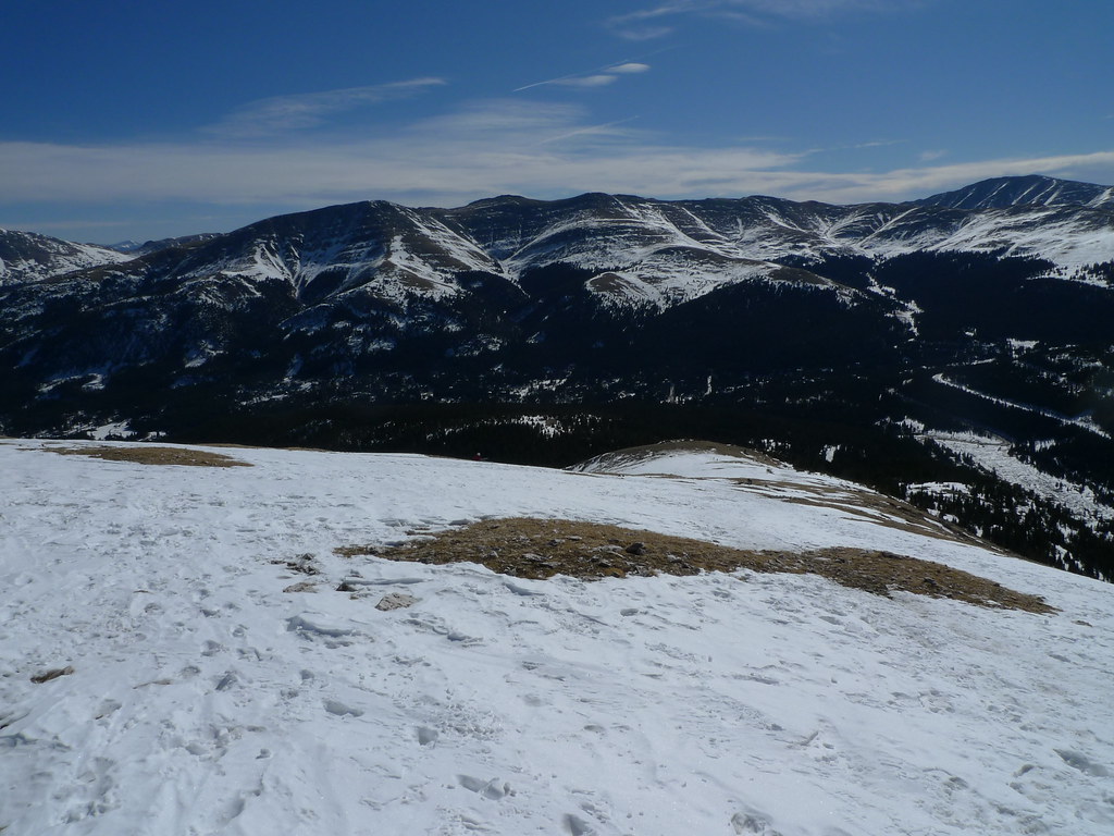 Blue Lake SpurHiking · ~3 min drivePhoto: jl_2, CC BY-SA 2.0 (via Flickr)Hunter Lode RoadHiking · ~4 min drivePhoto: TerryDOtt, CC BY 2.0 (via Flickr)
 Wheeler MountainHiking · ~5 min drivePhoto: Kevin R Foote, CC BY-SA 3.0 (via Wikimedia Commons)Red MountainHiking · ~4 min drivePhoto: Kevin R Foote, CC BY-SA 3.0 (via Wikimedia Commons)
 Old Quandry TrailHiking · ~4 min drivePhoto: jl_2, CC BY-SA 2.0 (via Flickr)
 Fredonia GulchHiking · ~7 min drivePhoto: nan palmero, CC BY 2.0 (via Flickr)Atlantic PeakHiking · ~5 min drivePhoto: Kevin R Foote, CC BY-SA 3.0 (via Wikimedia Commons)
 Spruce CreekHiking · ~7 min drivePhoto: ChrisYunker, CC BY 2.0 (via Flickr)
 Mt Lincoln TrailHiking · ~5 min drivePhoto: jl_2, CC BY-SA 2.0 (via Flickr)
© openrouteservice.org by HeiGIT | Map data © OpenStreetMap contributors

