Tipi Village
Campground
Campground · 5.5 mi from the trail
High Plains Trail is an easy out-and-back hike in Colorado, set within the Waneka - North land unit on city-managed land. The route is short, about 1.4 miles long, and rises roughly 68 feet from the starting point of 5,923 feet to a high of 5,959 feet before returning. That makes it an easy addition to a visit to the area, with a gentle climb and no steep stretches beyond the first half-mile, where the grade reaches about 4%. For comfortable weather, aim for late spring or early fall. Typical averages from a nearby weather station at a similar elevation show May highs around 69°F and September highs around 76°F, while July averages reach 87°F and winter highs sit near 45°F. The trail works well as a short stop alongside other routes close by. Prairie Vista Trail, FlatIrons Vista Trail and Lindsay Ranch Loop Trail are all about 1.2 miles away. For a longer outing, Whale Boulder (aka South Paw) offers climbing about 3.5 miles off.
Tipi Village
Campground
The Flats Beer Garden
Bar
 If it rainsNwest21, CC BY-SA 4.0 · Wikimedia Commons
Planetarium in the United States
Places © OpenStreetMap contributors · Photos: Nwest21, CC BY-SA 4.0 (commons)
More in Idaho SpringsNot on Roamze yet. Their page has how to reach them.
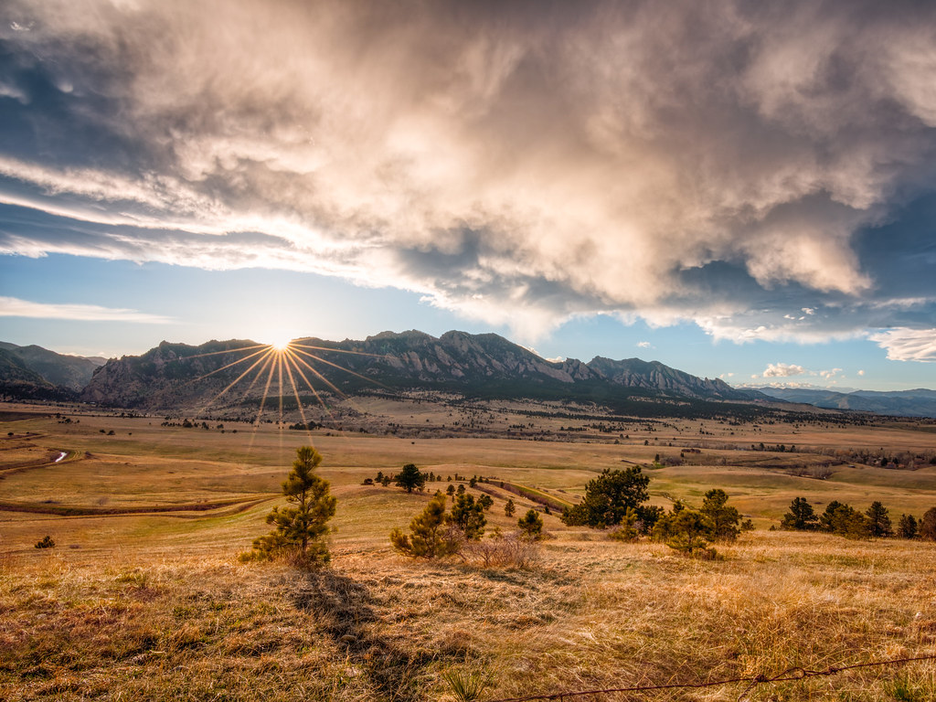 Prairie Vista TrailHikingPhoto: Max and Dee, CC BY 2.0 (via Flickr)1.2 miFlatIrons Vista TrailHikingPhoto: Max and Dee, CC BY 2.0 (via Flickr)1.2 mi
 Whale Boulder (aka South Paw)Rock climbingPhoto: relaxednow, CC BY 2.0 (via Wikimedia Commons)3.5 mi
 Center Ring WallRock climbingPhoto: mmehnert217, CC BY 2.0 (via Flickr)3.5 mi
 Tipi VillageCampingPhoto: Jeffrey Beall, CC BY 3.0 (via Wikimedia Commons)5.5 mi
 Boulder CreekCanoeingPhoto: Susan from Alameda, CA, USA, CC BY 2.0 (via Wikimedia Commons)8.3 mi
Source: Roamze catalog (indexable pages within 10 miles, PostGIS distance)
 High Plains TrailHiking · ~1 min drivePhoto: Dave Dugdale, CC BY-SA 2.0 (via Flickr)
 Shadow Canyon South TrailHiking · ~6 min drivePhoto: andrusdevelopment, CC BY 2.0 (via Flickr)Prairie Vista TrailHiking · ~2 min drivePhoto: Max and Dee, CC BY 2.0 (via Flickr)FlatIrons Vista TrailHiking · ~2 min drivePhoto: Max and Dee, CC BY 2.0 (via Flickr)
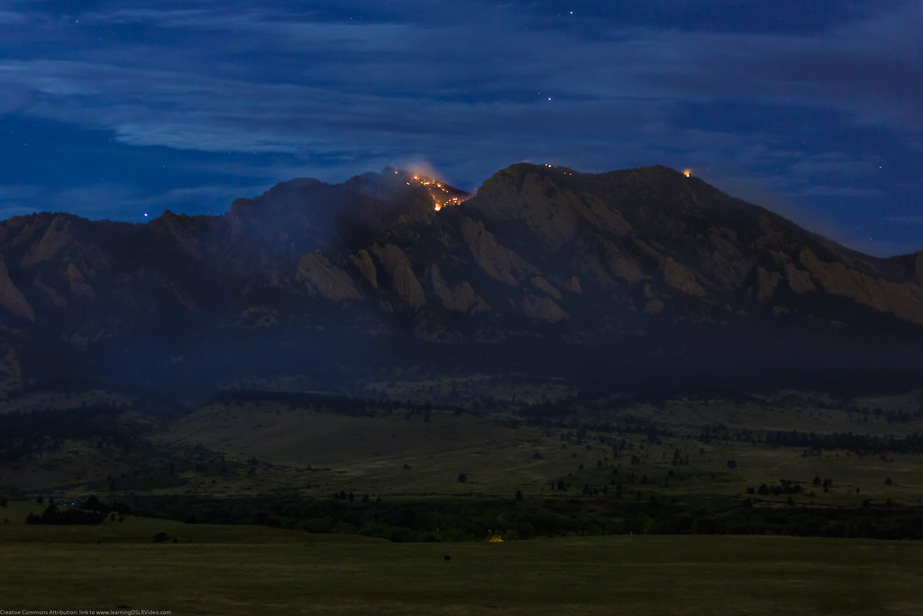 High Plains TrailHiking · ~2 min drivePhoto: Dave Dugdale, CC BY-SA 2.0 (via Flickr)Greenbelt Plateau TrailHiking · ~2 min drivePhoto: Dave Dugdale, CC BY-SA 2.0 (via Flickr)
 FlatIrons Vista South TrailHiking · ~3 min drivePhoto: andrusdevelopment, CC BY 2.0 (via Flickr)
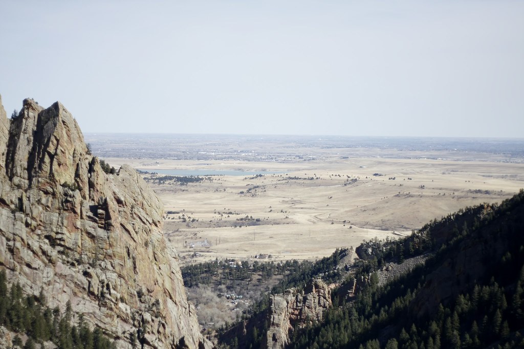 FlatIrons Vista North TrailHiking · ~4 min drivePhoto: andrusdevelopment, CC BY 2.0 (via Flickr)Doudy Draw TrailHiking · ~4 min drivePhoto: andrusdevelopment, CC BY 2.0 (via Flickr)Spring Brook Loop South TrailHiking · ~4 min drivePhoto: andrusdevelopment, CC BY 2.0 (via Flickr)
Also worth it near here
Best months: April–June and August–October. Best months have typical highs of 55–85 °F, lows of 30 °F or warmer (32 °F where the station doesn't record snow), at most one snowy day and no more than 12 wet days.
Jan
45° / 23°
4 wet
Feb
46° / 22°
5 wet
Mar
54° / 29°
6 wet
Apr
60° / 35°
8 wet
May
69° / 45°
9 wet
Jun
81° / 55°
7 wet
Jul
87° / 61°
7 wet
Aug
84° / 59°
8 wet
Sep
76° / 51°
6 wet
Oct
64° / 39°
5 wet
Nov
53° / 30°
4 wet
Dec
45° / 23°
4 wet
Typical high / low (°F) and days with rain or snow, 1991–2020. Measured at Ralston Rsvr, CO, 6 mi away at 5,900 ft. This station doesn't record snowfall. Source: NOAA NCEI U.S. Climate Normals 1991–2020.
Map and trail data © OpenStreetMap contributors


