Blue Creek Lodge & RV Park
Campground
Campground · 4.4 mi from the trail
Closure in the area
There's a closure order in Rio Grande National Forest. It doesn't name Goose Creek Trail, so check the source for the area it covers.
Closures and dangerous conditions on roads, bridges, and trails from flooding
Agency closure covering Rio Grande National Forest · USFS · Rio Grande National Forest
As of · Source: USFS · Rio Grande National Forest. Agencies don't list every closure — check before you go.
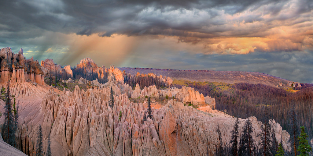
Goose Creek Trail is a 9.5-mile out-and-back hike in Colorado's Rio Grande National Forest, within the Divide Ranger District. The trail starts at about 8,843 feet and climbs to a high point of 8,857 feet, with a total gain of 1,192 feet over the course of the round trip. The route is back-loaded, meaning the steepest stretch comes in the second half, and the steepest grade reaches about 8% at mile 2.3. The most comfortable months for a visit are typically June and September. Typical averages from the nearby Creede weather station, at a similar elevation, show June highs around 75°F and September highs around 70°F, while July and August bring the most wet days of the year. The trip takes about four hours. Leopard Creek Trail lies about 1.2 miles away, and Wagon Wheel Gap Overlook and Pierce are each about 3.7 miles off. For an overnight stay, Blue Creek Lodge & RV Park is about 4.4 miles away.
Blue Creek Lodge & RV Park
Campground
Quiller Gallery
Gallery
Places © OpenStreetMap contributors, Places © Overture Maps Foundation
More in South ForkNot on Roamze yet. Their page has how to reach them.
 Blue Creek Lodge & RV ParkCampingPhoto: Tim Engleman from Saxonburg, PA, CC BY-SA 2.0 (via Wikimedia Commons)4.4 mi
Source: Roamze catalog (indexable pages within 10 miles, PostGIS distance)
 RaspberryHiking · ~8 min drivePhoto: dsearls, CC BY 2.0 (via Flickr)
 Hunters LakeHiking · ~12 min drivePhoto: cogdogblog, Public Domain Dedication (CC0) (via Flickr)
 HighlineHiking · ~11 min drivePhoto: cogdogblog, Public Domain Dedication (CC0) (via Flickr)
 Wason Park Cut-OffHiking · ~19 min drivePhoto: snowpeak, CC BY 2.0 (via Flickr)
 Farmers CreekHiking · ~14 min drivePhoto: aspidoscelis, Public Domain Dedication (CC0) (via Flickr)
Best months: June. Best months have typical highs of 55–85 °F, lows of 30 °F or warmer (32 °F where the station doesn't record snow), at most one snowy day and no more than 12 wet days.
Jan
37° / 6°
5 wet
Feb
42° / 9°
6 wet
Mar
50° / 16°
7 wet
Apr
56° / 24°
7 wet
May
65° / 30°
6 wet
Jun
75° / 36°
8 wet
Jul
78° / 43°
15 wet
Aug
76° / 42°
18 wet
Sep
70° / 34°
13 wet
Oct
61° / 26°
9 wet
Nov
49° / 14°
6 wet
Dec
38° / 5°
5 wet
Typical high / low (°F) and days with rain or snow, 1991–2020. Measured at Creede, CO, 10.9 mi away at 8,852 ft. This station doesn't record snowfall. Source: NOAA NCEI U.S. Climate Normals 1991–2020.
Map and trail data © OpenStreetMap contributors
