James M. Robb - Colorado River State Park, Fruita Section
Campground
Campground · 2.2 mi from the trail
Fruita West Bikepath is an easy out-and-back walk of about 2.8 miles that rises roughly 11 feet from its low point at 4,451 feet to a high of 4,462 feet. The route begins and ends close to Gilsonite, Colorado, which sits about 0.7 miles away, and the path itself is short enough to fit easily into a stop in town. Spring and fall are the most comfortable times to go. Typical averages from the nearby Fruita weather station run to highs around 67°F in April and 69°F in October. July is the hottest month, with typical highs near 95°F. Other trails are close by, including the Inner Flume Canyon Trail at about 1.2 miles and the Skinner Trail at about 1.3 miles. Climbers can head to Petrified Hill, about 2.1 miles away, and campers will find the James M. Robb - Colorado River State Park, Fruita Section about 2.2 miles from the route.
James M. Robb - Colorado River State Park, Fruita Section
Campground
Starvin Arvin's
Restaurant
 If it rainsJeffrey Beall, CC BY-SA 3.0 · Wikimedia Commons
Places © OpenStreetMap contributors · Photos: Jeffrey Beall, CC BY-SA 3.0 (commons)
More in CliftonNot on Roamze yet. Their page has how to reach them.
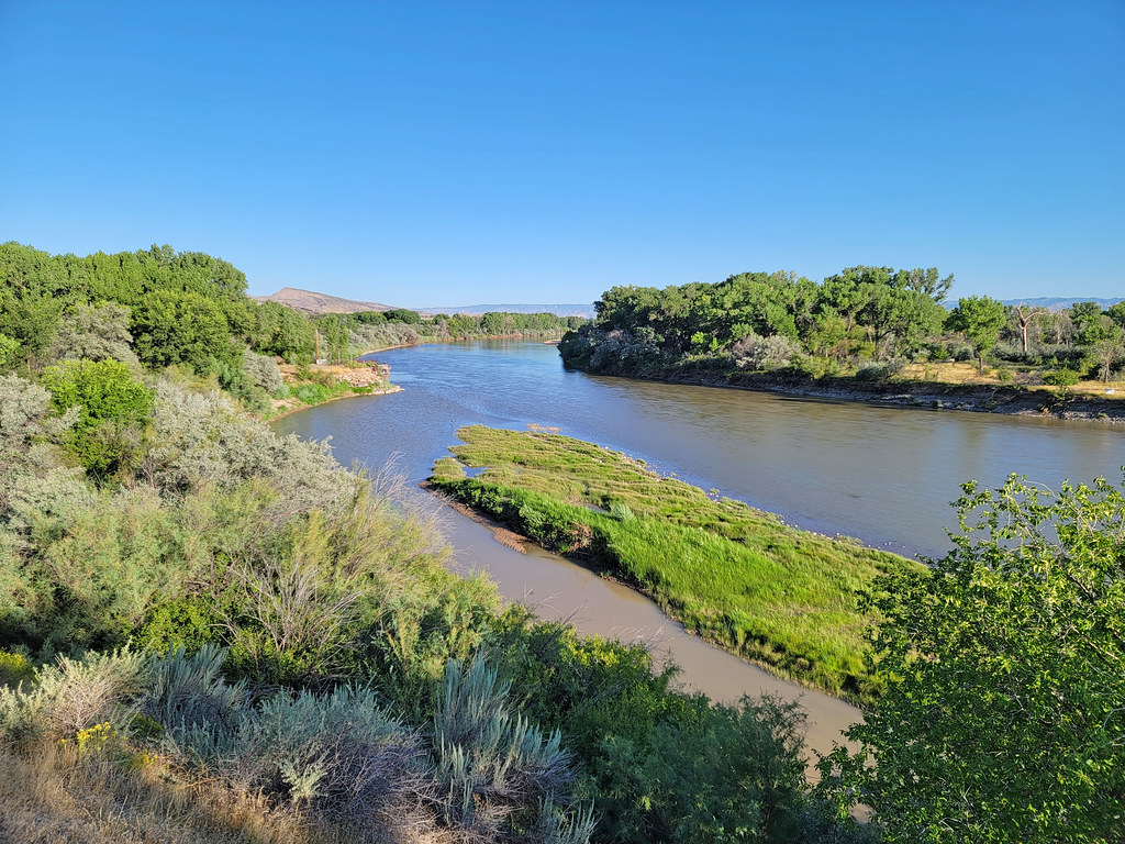 Inner Flume Canyon TrailHikingPhoto: AndreyZharkikh, CC BY 2.0 (via Flickr)1.2 miRattlesnake Arches TrailHikingPhoto: AndreyZharkikh, CC BY 2.0 (via Flickr)1.7 mi
 Petrified HillRock climbingPhoto: AndreyZharkikh, CC BY 2.0 (via Flickr)2.1 mi
 James M. Robb - Colorado River State Park, Fruita SectionCampingPhoto: Nathan Anderson nathananderson, CC0 (via Wikimedia Commons)2.2 miMonument RV ParkCampingPhoto: Nathan Anderson nathananderson, CC0 (via Wikimedia Commons)2.5 mi
Source: Roamze catalog (indexable pages within 10 miles, PostGIS distance)
Inner Flume Canyon TrailHiking · ~2 min drivePhoto: AndreyZharkikh, CC BY 2.0 (via Flickr)Rattlesnake Arches TrailHiking · ~3 min drivePhoto: AndreyZharkikh, CC BY 2.0 (via Flickr)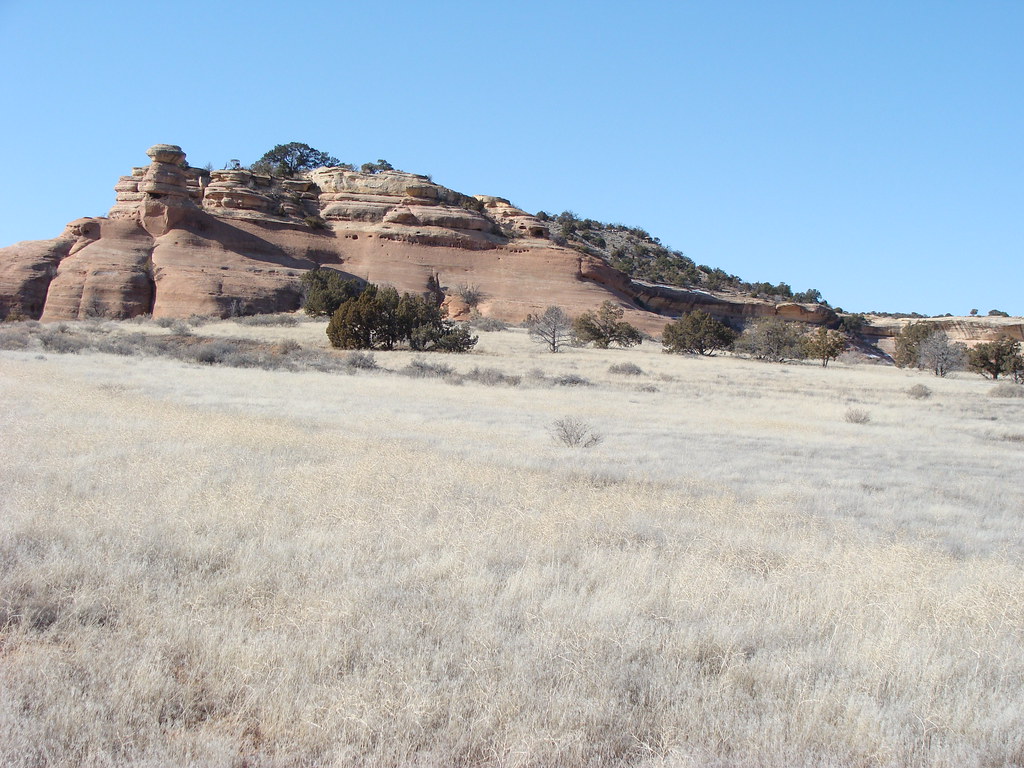 D3 Devils Canyon TrailHiking · ~4 min drivePhoto: iagoarchangel, CC BY-SA 2.0 (via Flickr)
 Opal Hill TrailHiking · ~3 min drivePhoto: AndreyZharkikh, CC BY 2.0 (via Flickr)
 Canyon Rim TrailHiking · ~9 min drivePhoto: Fredlyfish4, CC BY-SA 4.0 (via Wikimedia Commons)K1 TrailHiking · ~5 min drivePhoto: AndreyZharkikh, CC BY 2.0 (via Flickr)Opal Hill TrailHiking · ~4 min drivePhoto: AndreyZharkikh, CC BY 2.0 (via Flickr)
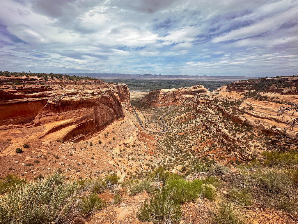 Fruita DugwayHiking · ~8 min drivePhoto: joannapoe, CC BY-SA 2.0 (via Flickr)K8 TrailHiking · ~4 min drivePhoto: iagoarchangel, CC BY-SA 2.0 (via Flickr)
Best months: April–May and September–October. Best months have typical highs of 55–85 °F, lows of 30 °F or warmer (32 °F where the station doesn't record snow), at most one snowy day and no more than 12 wet days.
Jan
39° / 15°
5 wet
Feb
47° / 21°
5 wet
Mar
59° / 29°
6 wet
Apr
67° / 35°
5 wet
May
78° / 45°
5 wet
Jun
89° / 52°
3 wet
Jul
95° / 60°
4 wet
Aug
91° / 58°
5 wet
Sep
83° / 48°
5 wet
Oct
69° / 36°
5 wet
Nov
54° / 25°
5 wet
Dec
40° / 16°
5 wet
Typical high / low (°F) and days with rain or snow, 1991–2020. Measured at Fruita, CO, 3.1 mi away at 4,498 ft. This station doesn't record snowfall. Source: NOAA NCEI U.S. Climate Normals 1991–2020.
Map and trail data © OpenStreetMap contributors

