Dakota Ridge RV Park
Campground
Campground · 4.1 mi from the trail
DFC 2 Mile Walking Course is a 2.0-mile out-and-back trail located in Colorado. This straightforward walking course offers an accessible option for those seeking a short, manageable outing in the area. The out-and-back format means you'll follow the same path in both directions, making navigation simple and allowing you to turn back at any point that suits your fitness level or time constraints. The trail is designed as a walking course, making it suitable for casual walkers and those looking for a low-intensity outdoor experience. With a 2-mile total distance, this is an ideal choice for families, beginners, or anyone wanting a quick nature walk without committing to a longer backcountry trek. The elevation gain for this trail is not currently documented, suggesting it's likely relatively modest given the short distance and walking designation. This trail provides a straightforward way to spend time outdoors and enjoy the Colorado landscape without requiring extensive preparation or specialized hiking experience.
Dakota Ridge RV Park
Campground
 If it rainsJessicaSmithCO, CC BY 4.0 · Wikimedia Commons
Denver Museum of Miniatures, Dolls & Toys
Museum
Toy museum in Denver, Colorado
Places © OpenStreetMap contributors, Places © Overture Maps Foundation · Photos: JessicaSmithCO, CC BY 4.0 (commons)
More in Idaho SpringsNot on Roamze yet. Their page has how to reach them.
Source: Roamze catalog (indexable pages within 10 miles, PostGIS distance)
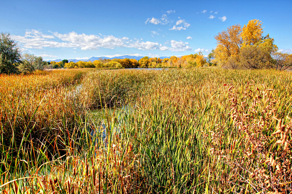 Kestrel Pond TrailHiking · ~5 min drivePhoto: Michael Kirsh, CC BY-SA 2.0 (via Flickr)Trail No. 93Hiking · ~5 min drivePhoto: Michael Kirsh, CC BY-SA 2.0 (via Flickr)
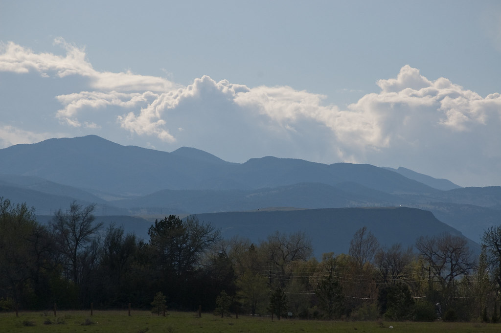 Outer Loop TrailHiking · ~5 min drivePhoto: Ben Mason, CC BY 2.0 (via Flickr)
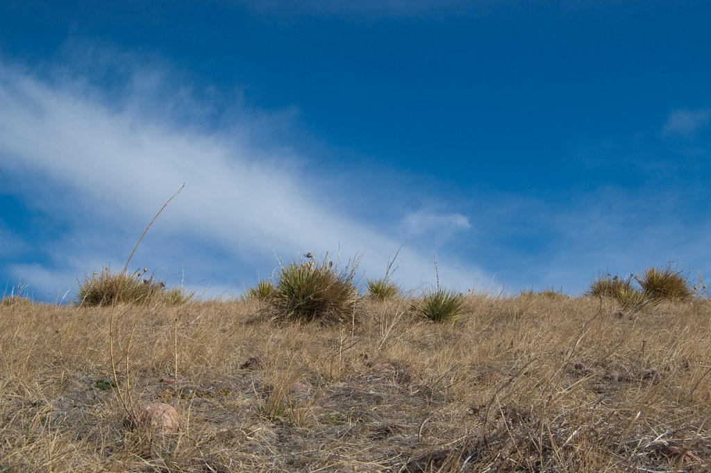 Green Mountain TrailHiking · ~5 min drivePhoto: Ben Mason, CC BY 2.0 (via Flickr)
 Summit Loop TrailHiking · ~5 min drivePhoto: Ben Mason, CC BY 2.0 (via Flickr)
 North Access TrailHiking · ~5 min drivePhoto: normalityrelief, CC BY-SA 2.0 (via Flickr)John O. Hayden TrailHiking · ~5 min drivePhoto: Ben Mason, CC BY 2.0 (via Flickr)Trail No. 96Hiking · ~5 min drivePhoto: Michael Kirsh, CC BY-SA 2.0 (via Flickr)Outer Loop TrailHiking · ~5 min drivePhoto: Ben Mason, CC BY 2.0 (via Flickr)
 Rooney Valley TrailHiking · ~5 min drivePhoto: Jesse James — CC BY 2.0 (via Flickr)
Best months: April–June and August–October. Best months have typical highs of 55–85 °F, lows of 30 °F or warmer (32 °F where the station doesn't record snow), at most one snowy day and no more than 12 wet days.
Jan
45° / 21°
4 wet
Feb
45° / 22°
5 wet
Mar
53° / 29°
6 wet
Apr
59° / 35°
7 wet
May
68° / 44°
10 wet
Jun
80° / 53°
9 wet
Jul
86° / 60°
9 wet
Aug
84° / 58°
9 wet
Sep
76° / 49°
7 wet
Oct
63° / 37°
6 wet
Nov
52° / 28°
4 wet
Dec
45° / 20°
4 wet
Typical high / low (°F) and days with rain or snow, 1991–2020. Measured at Lakewood, CO, 1.8 mi away at 5,640 ft. This station doesn't record snowfall. Source: NOAA NCEI U.S. Climate Normals 1991–2020.
Map and trail data © OpenStreetMap contributors

