
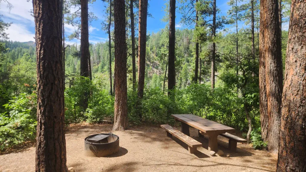
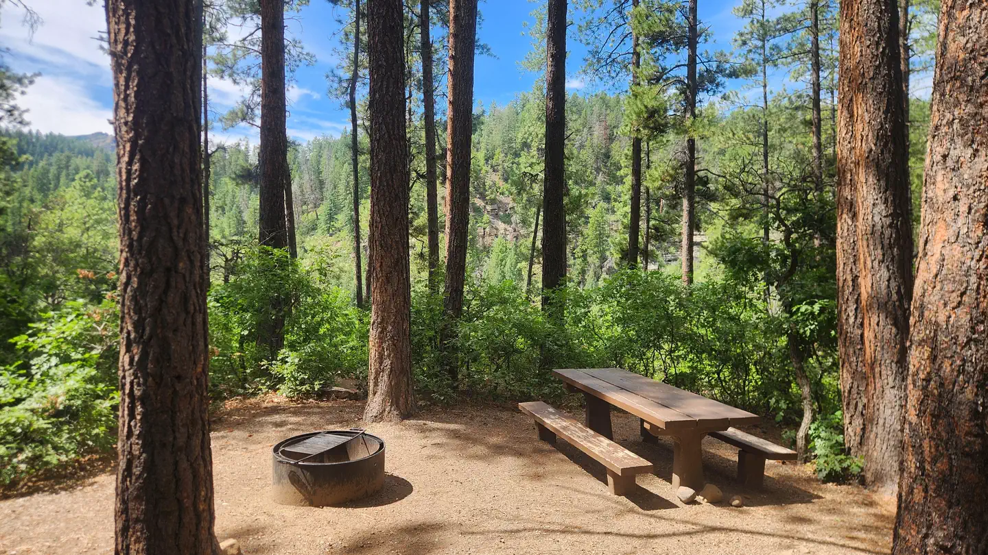
Alpen Rose RV Park
Hiking business nearby (~1 mi away) — hasn't claimed their Roamze page yet
Free — you'll pick up right here.
Watch this trail
Sign up to watch it — saving subscribes you to gate, closure and report changes.
Colorado
1.8 mi
Distance
33 ft
Gain
We won't guess. Here is exactly what we do and don't know.
What we do know
Inside San Juan National Forest
2 managing-area boundaries mapped — agency alerts for them feed this page automatically.
Boundary data
What's missing
No access route mapped
We don't yet know which road reaches this trailhead, so we can't tell you if it's gated.
Nobody's filed a report here yet — be the first.
Why you'll love it
Cliff Line
AI-suggested draft · review before you go
Cliff Line is a 1.8-mile out-and-back trail located in Colorado near Colorado, managed by Rio Grande National Forest's Conejos Peak Ranger District. This short trail offers an accessible option for hikers exploring the southern San Juan Mountains region. The out-and-back format allows visitors to turn around at any point, making it flexible for various fitness levels and time constraints. The trail is situated within Rio Grande National Forest, providing access to the natural landscapes characteristic of this protected area. Its modest distance makes it suitable for a quick outing or as part of a larger day of hiking in the region. Given its management by the Conejos Peak Ranger District, the trail falls under the stewardship of the Forest Service, ensuring maintenance and adherence to regulations. While elevation gain data is not available, the shorter mileage suggests this could serve as a warm-up hike or family-friendly option. Visitors should check with Rio Grande National Forest or the Conejos Peak Ranger District for current trail conditions, seasonal closures, and any specific regulations before heading out.

Westview Loop
~3 min drive
6.0 mi · Moderate
Logchutes 1
~4 min drive
9.8 mi · Hard
Hoffheins Connection
~7 min drive
2.5 mi · Easy

Youngs Canyon
~20 min drive
7.5 mi · Moderate

Haflin Creek
~4 min drive
7.9 mi · Hard

Pioneer
~9 min drive
2.3 mi · Easy

Miners Trace
~22 min drive
3.8 mi · Moderate
Dry Fork
~6 min drive
8.2 mi · Hard
Lech
~20 min drive
1.1 mi · Easy
Wagon
~22 min drive
2.6 mi · Moderate
Local operatorsoffering guided trips. You book directly with them — Roamze doesn’t take a cut.
Alpen Rose RV Park
Hiking business nearby (~1 mi away) — hasn't claimed their Roamze page yet
HTR Resorts
Hiking business nearby (~6 mi away) — hasn't claimed their Roamze page yet
Sundance RV Park
Hiking business nearby (~38 mi away) — hasn't claimed their Roamze page yet