Ponderosa Loop
Campground
Campground · 0.3 mi from the trail
 Photo: kalestews, CC BY 2.0 (via Flickr)
Chase Meadow Trail is a short, easy out-and-back hike in Staunton State Park in Colorado, managed by State Fish and Wildlife. The trail is about a mile long, with a total elevation gain of roughly 250 feet, and it reaches a high point of about 8,500 feet. The climb is front-loaded, with the steepest stretch at about 0.2 miles from the start, and the trail returns to its starting elevation. Summer is the most comfortable time to go. Typical averages from a nearby weather station in Bailey, which sits about 750 feet lower, show July highs near 79°F with lows around 44°F, while winter highs stay in the upper 30s. Temperatures on the trail run cooler than those figures. The hike takes about half an hour. Davis Ponds Trail and Staunton Ranch Trail both start about 0.3 miles away, and Dines Cliff offers climbing about 0.8 miles off. For an overnight stay, Meridian Campground is about 8 miles away.
Ponderosa Loop
Campground
Big Iron BBQ & Smokehouse
Restaurant
 If it rains25or6to4, CC BY-SA 3.0 · Wikimedia Commons
Places © OpenStreetMap contributors, Places © Overture Maps Foundation · Photos: 25or6to4, CC BY-SA 3.0 (commons)
More in Idaho SpringsNot on Roamze yet. Their page has how to reach them.
Source: Roamze catalog (indexable pages within 10 miles, PostGIS distance)
Dines Meadow TrailHiking · Next doorPhoto: kalestews, CC BY 2.0 (via Flickr) Rusty BuckleHiking · ~4 min drivePhoto: kalestews, CC BY 2.0 (via Flickr)North Elk CreekHiking · ~5 min drivePhoto: kalestews, CC BY 2.0 (via Flickr)Staunton Ranch TrailcHiking · ~2 min drivePhoto: kalestews, CC BY 2.0 (via Flickr)
 Maxwell FallsHiking · ~10 min drivePhoto: supercraigtalbert, CC BY 2.0 (via Flickr)West Meadows LoopHiking · ~4 min drivePhoto: kalestews, CC BY 2.0 (via Flickr)
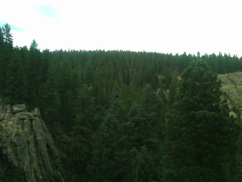 Cub Creek TrailHiking · ~7 min drivePhoto: supercraigtalbert, CC BY 2.0 (via Flickr)
 Sapsucker TrailHiking · ~7 min drivePhoto: Vadim Manuylov, CC BY-SA 3.0 (via Wikimedia Commons)
Best months: June–July and September. Best months have typical highs of 55–85 °F, lows of 30 °F or warmer (32 °F where the station doesn't record snow), at most one snowy day and no more than 12 wet days.
Jan
38° / 9°
4 wet
Feb
40° / 10°
5 wet
Mar
48° / 18°
6 wet
Apr
54° / 23°
7 wet
May
63° / 31°
8 wet
Jun
75° / 38°
8 wet
Jul
79° / 44°
12 wet
Aug
77° / 43°
13 wet
Sep
71° / 35°
7 wet
Oct
59° / 24°
5 wet
Nov
45° / 16°
4 wet
Dec
37° / 9°
4 wet
Typical high / low (°F) and days with rain or snow, 1991–2020. Measured at Bailey, CO, 8.2 mi away at 7,752 ft. The station sits about 800 ft lower than this place, so expect it a little cooler here. This station doesn't record snowfall. Source: NOAA NCEI U.S. Climate Normals 1991–2020.
Map and trail data © OpenStreetMap contributors
