
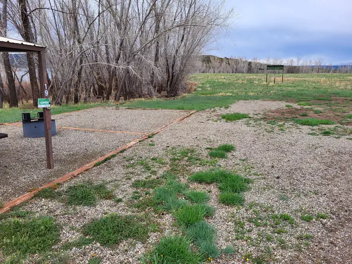


Sundance RV Park
Hiking business nearby (~10 mi away) — hasn't claimed their Roamze page yet
Free — you'll pick up right here.
Watch this trail
Sign up to watch it — saving subscribes you to gate, closure and report changes.
Colorado
2.2 mi
Distance
88 ft
Gain
An agency closure order is in effect for this area; weather is good
2 factors · 2 sources
Newest 15 h ago · oldest 28 d
problem: Agency alerts
12 active alerts in San Juan National Forest; most severe: Multiple roads and trails damaged by flooding on SJNF
USFS28 d ago
clear: Weather
Clouds, high 75°F / low 41°F, 0% precip — 95/100 for hike
OpenWeather15 h ago
Been out here in the last few days? One report keeps this current for everyone.
Why you'll love it
Can Do
AI-suggested draft · review before you go
Can Do is a 2.2-mile out-and-back trail located in Colorado near Colorado, managed by the Rio Grande National Forest's Divide Ranger District. This short trail offers an accessible option for hikers seeking a quick outdoor excursion in the Rio Grande National Forest. The out-and-back format means hikers will cover approximately 1.1 miles to reach the turnaround point before retracing their route. The trail's modest distance makes it suitable for various skill levels and time constraints. Visitors should contact the Divide Ranger District of Rio Grande National Forest for current trail conditions, seasonal closures, or any recent updates affecting accessibility. Rio Grande National Forest encompasses over 1.8 million acres across south-central Colorado, featuring diverse terrain and ecosystems. The Divide Ranger District manages portions of this expansive forest. Before heading out, check with the managing agency for any permits, fees, or specific regulations that may apply. Bring adequate water and sun protection, and allow extra time if hiking at elevation.

Mcphee Overlook
~3 min drive
17 mi · Hard
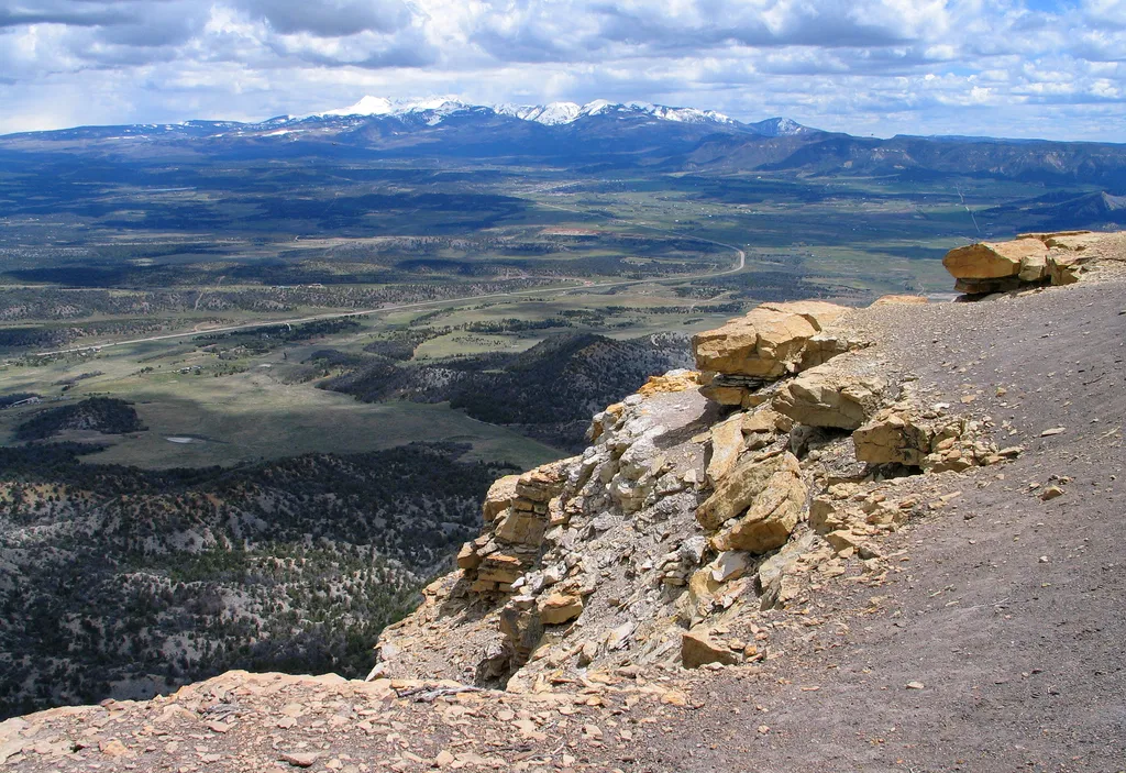
Point Lookout Trail
~26 min drive
<p>The Point Lookout Trail climbs up the iconic Point Lookout, the geological formation that towers above the park entrance. The trail offers views of the San Juan and La Plata Mountains, as well as Mancos and Montezuma Valleys.</p> <h4>Trail Description</h4> <p>The 2.2-mile (…
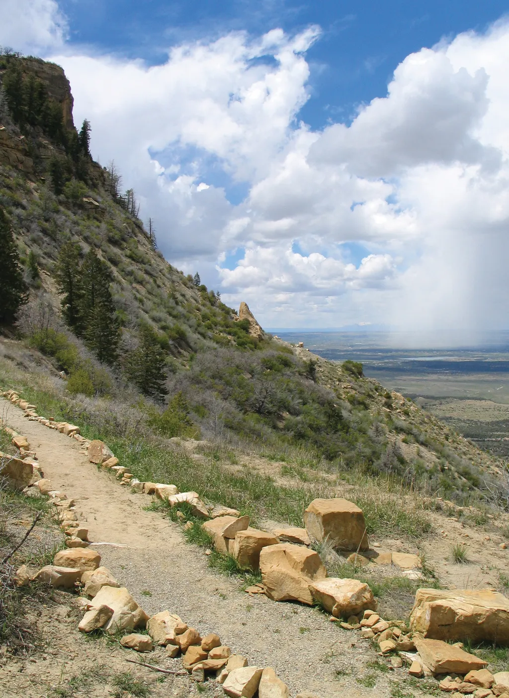
Knife Edge Trail
~26 min drive
<p>Named after the historic Knife Edge Road which was known for it's scenic value, this trail follows the old roadway and leads to a viewpoint that affords excellent views across Montezuma Valley.</p> <p>A traveler in 1892 once described a trail on this ridge as the Crinkly Ed…

Dolph Kuss
~26 min drive
3.1 mi · Moderate
Millset (Snow)
~26 min drive
6.7 mi · Hard
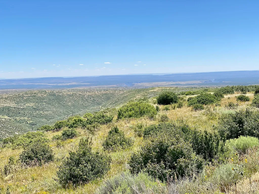
Park Point
~27 min drive
The highest elevation in the park at 8,572 feet (2,612 m) above sea level, Park Point is a breezy and cool place to picnic or take in the view. To the north, the 13,000 and 14,000-foot (4,000+ meters) peaks of the San Juan Mountains are visible. To the south, the high deserts…
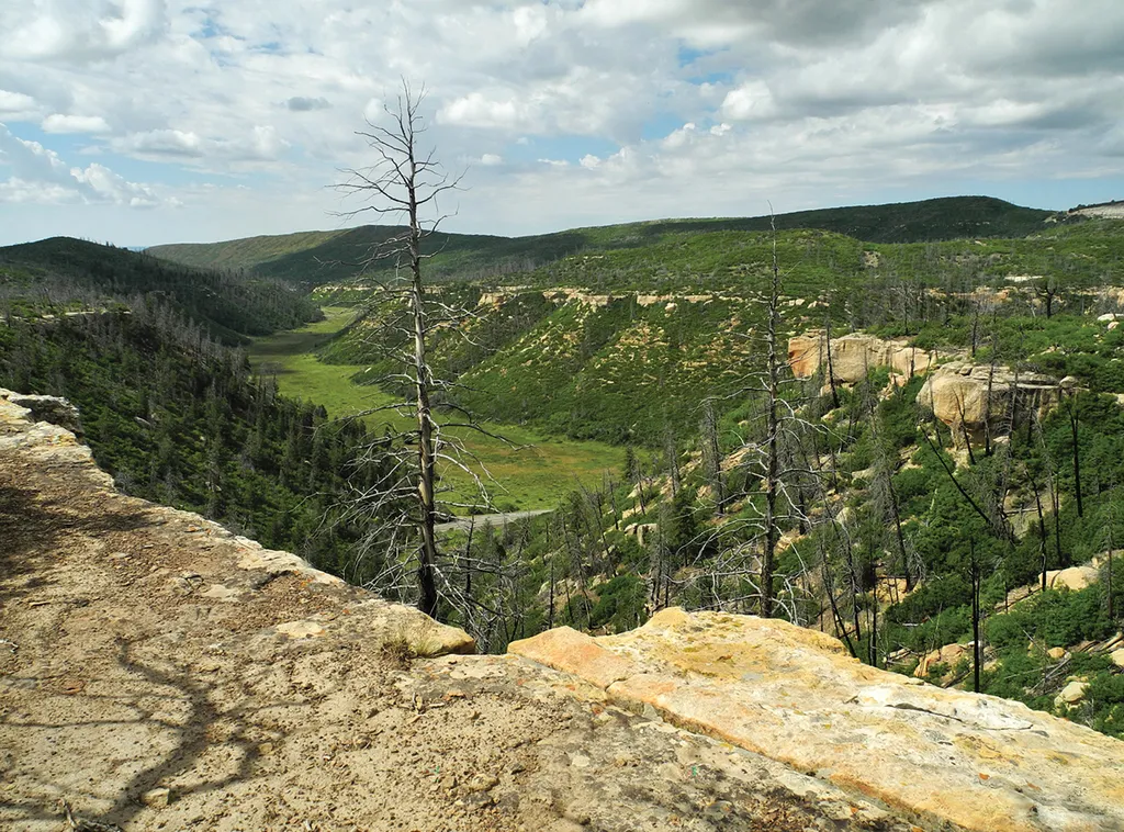
Prater Ridge Trail
~27 min drive
<p>The trail traverses Prater Ridge which divides Prater and Morefield Canyons. The South Loop offers views into Prater Canyon, named for an early pioneer family. The North Loop ascends for views into Montezuma Valley and the beautiful San Juan Mountains.</p> <h4>Trail Descrip…
Dolph Kuss Loop (Snow)
~27 min drive
3.1 mi · Moderate

Little Taylor
~34 min drive
7.4 mi · Hard
Mesa Verde National Park Entrance Station
~23 min drive
Mesa Verde National Park entrance station.
Local operatorsoffering guided trips. You book directly with them — Roamze doesn’t take a cut.
Sundance RV Park
Hiking business nearby (~10 mi away) — hasn't claimed their Roamze page yet
HTR Resorts
Hiking business nearby (~36 mi away) — hasn't claimed their Roamze page yet
Alpen Rose RV Park
Hiking business nearby (~40 mi away) — hasn't claimed their Roamze page yet