Gold Creek Campground
Campground
Campground · 3.0 mi from the trail
Closure in the area
There's a closure order in Grand Mesa, Uncompahgre and Gunnison National Forests. It doesn't name Cameron Gulch Trail, so check the source for the area it covers (2 listed).
Gold Mountain Wildfire Roads and Trails Closure Order v 4.0
Agency closure covering Grand Mesa, Uncompahgre and Gunnison National Forests · USFS · Grand Mesa, Uncompahgre and Gunnison National Forests
Ophir Pass Road Closure
Agency closure covering Grand Mesa, Uncompahgre and Gunnison National Forests · USFS · Grand Mesa, Uncompahgre and Gunnison National Forests
Potter Basin Road Closure Order
Agency alert covering Grand Mesa, Uncompahgre and Gunnison National Forests · USFS · Grand Mesa, Uncompahgre and Gunnison National Forests
Beaver Park Road Closure Order
Agency alert covering Grand Mesa, Uncompahgre and Gunnison National Forests · USFS · Grand Mesa, Uncompahgre and Gunnison National Forests
TERMINATION OF ORDER - FIRE RESTRICTIONS
Agency alert covering Grand Mesa, Uncompahgre and Gunnison National Forests · USFS · Grand Mesa, Uncompahgre and Gunnison National Forests
As of · Source: USFS · Grand Mesa, Uncompahgre and Gunnison National Forests. Agencies don't list every closure — check before you go.
Cameron Gulch Trail is a 3.5-mile out-and-back hike in Colorado's Gunnison Ranger District, part of the Grand Mesa, Uncompahgre and Gunnison National Forests. The trail starts at about 11,626 feet and climbs to a high point of 11,743 feet, with a total elevation gain of 1,421 feet over the course of the round trip. The steepest stretch comes at about 1.2 miles in, where the grade reaches 31 percent. The route is rated moderate, and the trip takes about two hours. The Forest Service manages the land, and the trail is open year-round. For a longer outing, Lower Lamphier Lake and Gold Creek Trail both lie about 2 miles away, and Henry Lake is a little farther at about 2.3 miles. Gold Creek Campground, roughly 3 miles off, offers a place to stay.
Gold Creek Campground
Campground
Waunita Pass
Viewpoint
Places © OpenStreetMap contributors
More in Pitkin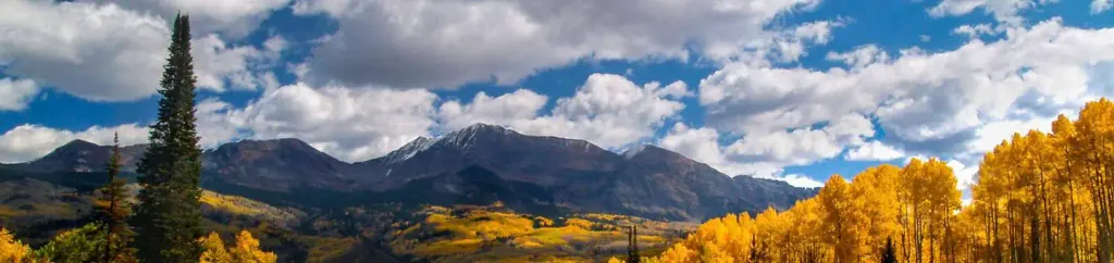 Lottis Creek CampgroundCampingPhoto: Recreation.gov (RIDB) / public domain6.2 mi
Source: Roamze catalog (indexable pages within 10 miles, PostGIS distance)
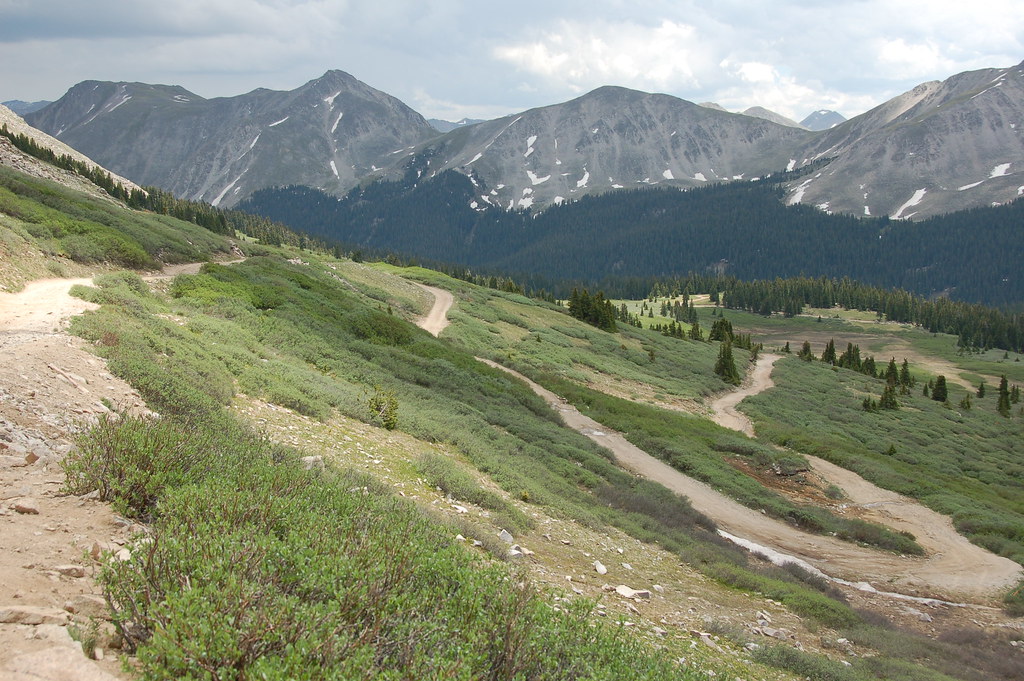 Old Tincup Pass TrailHiking · ~12 min drivePhoto: Herkie, CC BY-SA 2.0 (via Flickr)
Also worth it near here
 Fairview PeakSummit · ~3 min drivePhoto: Jbsco, CC BY-SA 4.0 (via Wikimedia Commons)
 Cumberland Pass Snowmobile/skiMountain biking · ~7 min drivePhoto: John Sowell, CC BY-SA 4.0 (via Wikimedia Commons)
Map and trail data © OpenStreetMap contributors
