Bradburn Trail
- 0.4 mi
- round trip
- 35 ft
- climb
- 5,268 ft
- high point
- Out and back
- route
- Apr–Jun, Sep–Oct
- best months
Bradburn Trail is a short, easy outing in Colorado, about 0.6 miles from College Hills. The route is an out-and-back of roughly 0.8 miles, with a total elevation gain and loss of about 35 feet, so it's a gentle walk that returns to its starting point. The trail sits at about 5,268 feet, with the high point near the top of the climb. The steepest section is a shallow 2% grade at about 0.12 miles in, and the rest of the route is mostly flat. That makes it an easy choice for a quick stop. Late spring and early fall are the most comfortable times to go. Typical averages from a nearby weather station in Northglenn show May highs around 72°F and September highs around 82°F, while July averages about 91°F. The trip takes about half an hour, and the FRCC College Trails are about 0.4 miles away. Cotton Creek Trail and the Airport Creek Trail are within about a mile, and the Redpoint Ridge Bouldering Wall is about 2.5 miles off.
Local outfitters
- Wildcat Mountaineering25 mi away
- Camp Always Choose Adventures29 mi away
Not on Roamze yet. Their page has how to reach them.
- FRCC College TrailsHiking0.4 mi
- Cotton Creek TrailHiking0.7 mi
- Mountain Bike Trail near Big Dry CreekMountain biking0.7 mi
- Airport Creek TrailHiking1.2 mi
- Redpoint Ridge Bouldering WallRock climbing2.5 mi
 Tipi VillageCampingPhoto: Jeffrey Beall, CC BY 3.0 (via Wikimedia Commons)5.1 mi
- WikiupCamping8 mi
- Denver Metropolitan Area Bouldering and BuilderingRock climbing9.6 mi
Source: Roamze catalog (indexable pages within 10 miles, PostGIS distance)
 Home Farm TrailHiking · ~4 min drivePhoto: joiseyshowaa from Freehold, NJ, USA, CC BY-SA 2.0 (via Wikimedia Commons)
 Countryside Creek TrailHiking · ~6 min drivePhoto: jefbrr, CC BY 2.0 (via Flickr)
 Holy Family TrailHiking · ~7 min drivePhoto: jtsmmm, CC BY 3.0 (via Wikimedia Commons)
 Ketner Reservoir pathHiking · ~7 min drivePhoto: Jesse James — CC BY 2.0 (via Flickr)
 Niver Creek Open SpaceHiking · ~7 min drivePhoto: Ishrona from Denver, Colorado, USA, CC BY 2.0 (via Wikimedia Commons)
- walking pathHiking · ~8 min drivePhoto: joiseyshowaa from Freehold, NJ, USA, CC BY-SA 2.0 (via Wikimedia Commons)
- Standley Lake TrailHiking · ~8 min drivePhoto: jefbrr, CC BY 2.0 (via Flickr)
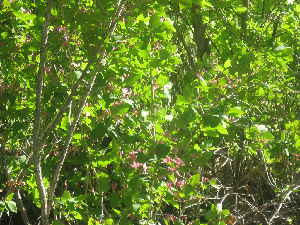 Trailside Creek TrailHiking · ~8 min drivePhoto: jamieotterbein, CC BY-SA 2.0 (via Flickr)
- Highpoint TrailHiking · ~9 min drivePhoto: jtsmmm, CC BY 3.0 (via Wikimedia Commons)
- Siena TrailHiking · ~9 min drivePhoto: jtsmmm, CC BY 3.0 (via Wikimedia Commons)
Best time to visit Bradburn Trail
Best months: April–June and September–October. Best months have typical highs of 55–85 °F, lows of 30 °F or warmer (32 °F where the station doesn't record snow), at most one snowy day and no more than 12 wet days.
Jan
48° / 19°
4 wet
Feb
50° / 20°
4 wet
Mar
58° / 28°
6 wet
Apr
64° / 35°
8 wet
May
72° / 44°
9 wet
Jun
85° / 53°
7 wet
Jul
91° / 59°
7 wet
Aug
89° / 57°
7 wet
Sep
82° / 49°
6 wet
Oct
67° / 37°
5 wet
Nov
56° / 27°
4 wet
Dec
47° / 19°
4 wet
Typical high / low (°F) and days with rain or snow, 1991–2020. Measured at Northglenn, CO, 1.6 mi away at 5,407 ft. This station doesn't record snowfall. Source: NOAA NCEI U.S. Climate Normals 1991–2020.
Map and trail data © OpenStreetMap contributors
