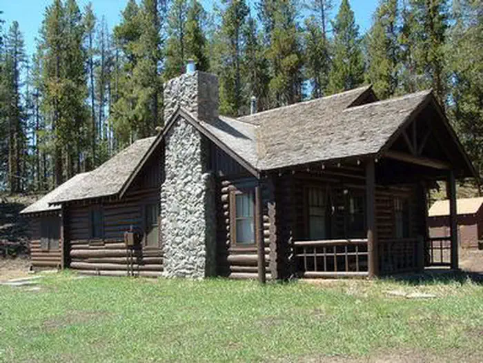
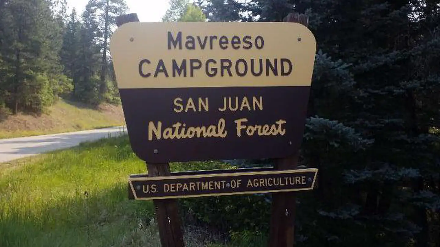
Sweetwater Lake Recreation Area
Campground
Campground · 0.3 mi from the trail
Alert in the area
The Forest Service lists 6 alerts for White River National Forest.
FSR 286, Radical Hill, is closed due to washouts and unsafe conditions
Agency alert covering White River National Forest · USFS · White River National Forest
Limited parking at Snowmass Creek Trailhead
Agency alert covering White River National Forest · USFS · White River National Forest
Grizzly Creek Trail Closure
Agency alert covering White River National Forest · Order 2026-02 · USFS · White River National Forest
Ruedi Marina Day Use area Dump Station is CLOSED
Agency alert covering White River National Forest · USFS · White River National Forest
Asbestos safety closure - Camp Hale
Agency alert covering White River National Forest · USFS · White River National Forest
As of · Source: USFS · White River National Forest. Agencies don't list every closure — check before you go.
The Cross Creek trail begins at Ute - DeepTrail #2031 and ends at Sweetwater Trail #1854. Hike the Ute Trail #2031 for about 1/4 mile and turn right onto this trail, which runs parallel to Sweetwater Canyon and quickly drops down into a lush aspen forest in the first 1/2 mile and crosses Lake Creek, before a steep sagebrush and scrub oak hill. As the trail enters a large wet meadow, it becomes faint, but continues again straight across near an aspen grove. From this point on the trail is fairly level passing through spruce/ fir forests with some aspen. After crossing the Dry Sweetwater Creek the trail ends connecting onto Sweetwater Trail #1854 which can be utilized to return back to the Sweetwater Lake area, about 2 miles northwest of Sweetwater Campground. Early summer is the best time to find excellent displays of lupine, white and purple peavine, flax, sulfur flowers, wild geraniums, locoweed and scarlet gilia.View a printable Recreation Quicksheet for this trail which is complete with directions, a map, details, and other information about this trail.
Sweetwater Lake Recreation Area
Campground
Thermal springs in Colorado
Places © OpenStreetMap contributors
More in Glenwood SpringsNot on Roamze yet. Their page has how to reach them.
Best months: May–September. Best months have typical highs of 55–85 °F, lows of 30 °F or warmer (32 °F where the station doesn't record snow), at most one snowy day and no more than 12 wet days.
Jan
32° / 7°
12 wet
Feb
34° / 9°
11 wet
Mar
43° / 17°
10 wet
Apr
52° / 24°
11 wet
May
62° / 33°
10 wet
Jun
74° / 40°
8 wet
Jul
79° / 46°
10 wet
Aug
77° / 45°
11 wet
Sep
70° / 37°
9 wet
Oct
57° / 27°
8 wet
Nov
42° / 17°
9 wet
Dec
32° / 8°
11 wet
Typical high / low (°F) and days with rain or snow, 1991–2020. Measured at Yampa, CO, 28.2 mi away at 7,857 ft. This station doesn't record snowfall. Source: NOAA NCEI U.S. Climate Normals 1991–2020.
SEE
Horse Pasture Site
~24 min drive
SEE
Ute - Sweetwater
Next door
SEE
Big Fish
~29 min drive
SEE
Star Lake
~10 min drive
Star Lake is a 5-acre lake near Gypsum, Colorado, at about 11,036 feet. It is managed by the U.S. Forest Service.
SEE
Glenwood Springs Area
~32 min drive
SEE
Heart Lake Reservoir
~15 min drive
Heart Lake Reservoir is a 296-acre lake near Gypsum, Colorado, at about 10,706 feet. It is managed by the U.S. Forest Service.
SEE
Supply Basin Lake
~15 min drive
Supply Basin Lake is a 38-acre lake near Gypsum, Colorado, at about 10,830 feet. It is managed by the U.S. Forest Service.
SEE
Island Lake
~15 min drive
Island Lake is a lake near Gypsum, Colorado, at about 11,197 feet. It is managed by the U.S. Forest Service.
SEE
Deer Lake
~16 min drive
SEE
Upper Island Lake
~16 min drive
Upper Island Lake is an 8-acre lake near Gypsum, Colorado, at about 11,194 feet. It is managed by the U.S. Forest Service.