Inlet Cove Campground
- Apr–Jun, Sep–Oct
- best months
- At 4,094 ft
Inlet Cove Campground is a campground in Colorado, about 5.4 miles from the town of Jessica. It sits close to several other outdoor spots, including Chimney View Campground and the South Shoreline Trail, both about 0.2 miles away, and Swim Beach Trail at about 0.4 miles. For comfortable weather, aim for late spring or early fall. Typical averages from a nearby weather station in Sterling show May highs around 73°F and September highs around 81°F, while July averages climb to about 91°F. Elks Campground is about 2 miles away, and Cedar Creek, a canoeing spot, is about 7 miles off.
- Chimney View CampgroundCamping0.2 mi
- South Shoreline TrailHiking0.2 mi
- Swim Beach TrailHiking0.4 mi
- Elks CampgroundCamping2 mi
- Cedar CreekCanoeing7 mi
Source: Roamze catalog (indexable pages within 10 miles, PostGIS distance)
- Chimney View CampgroundCamping · Next door
- Elks CampgroundCamping · ~3 min drive
- Northview CampgroundCamping · ~1h 26m drive
Also worth it near here
- Wild Horse LakeLake fishing · ~15 min drive
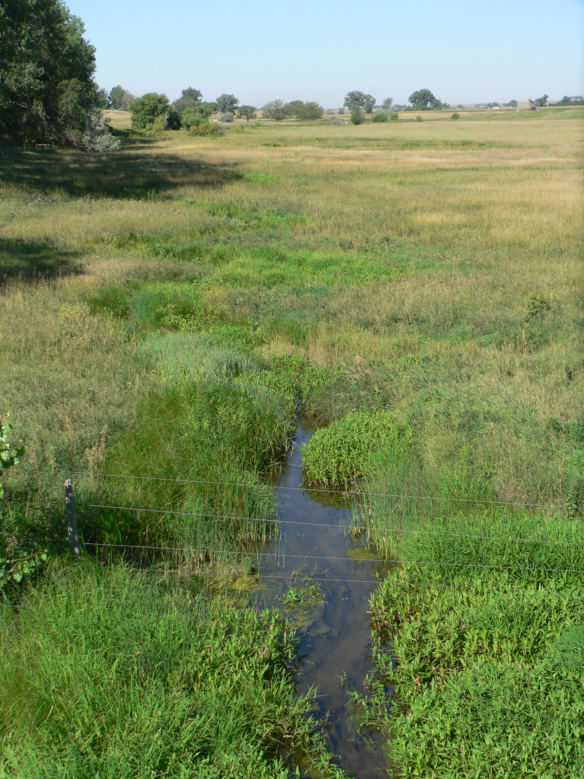 Lodgepole CreekCanoeing · ~59 min drivePhoto: Ammodramus, Public domain (via Wikimedia Commons)
 Pawnee ButtesSummit · ~1h 3m drivePhoto: Marjaliisa, CC BY-SA 3.0 (via Wikimedia Commons)
 Pawnee GrasslandsRock climbing · ~1h 3m drivePhoto: KimonBerlin, CC BY-SA 2.0 (via Flickr)
Best time to visit Inlet Cove Campground
Best months: April–June and September–October. Best months have typical highs of 55–85 °F, lows of 30 °F or warmer (32 °F where the station doesn't record snow), at most one snowy day and no more than 12 wet days.
Jan
42° / 16°
2 wet
Feb
46° / 19°
2 wet
Mar
57° / 27°
3 wet
Apr
64° / 35°
5 wet
May
73° / 46°
8 wet
Jun
85° / 57°
8 wet
Jul
91° / 62°
8 wet
Aug
89° / 60°
7 wet
Sep
81° / 49°
5 wet
Oct
66° / 35°
4 wet
Nov
53° / 24°
3 wet
Dec
42° / 16°
3 wet
Typical high / low (°F) and days with rain or snow, 1991–2020. Measured at Sterling, CO, 10.1 mi away at 3,974 ft. This station doesn't record snowfall. Source: NOAA NCEI U.S. Climate Normals 1991–2020.
Map and trail data © OpenStreetMap contributors
