Glacier Basin Campground
Campground
Campground · < 0.1 mi from the trail
Closure in the area
There's a closure order in Rocky Mountain National Park. It doesn't name Glacier Basin Campground, so check the source for the area it covers.
Prescribed Fire Operations are Underway near Beaver Meadows Visitor Center
Park closure covering Rocky Mountain National Park · NPS · Rocky Mountain National Park
As of · Source: NPS · Rocky Mountain National Park. Agencies don't list every closure — check before you go.
Glacier Basin Campground is a campground in Colorado at about 8,606 feet, with 153 sites. It is managed by the National Park Service.
Glacier Basin Campground
Campground
Aspen Dining
Restaurant
 If it rainsMatt Golon, CC BY-SA 3.0 · Wikimedia Commons
Places © OpenStreetMap contributors · Photos: Matt Golon, CC BY-SA 3.0 (commons)
More in Estes ParkNot on Roamze yet. Their page has how to reach them.
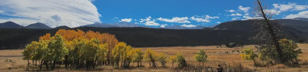 Rocky Mountain National Park Glacier Basin CampgroundCampingPhoto: Recreation.gov (RIDB) / public domain0.1 mi
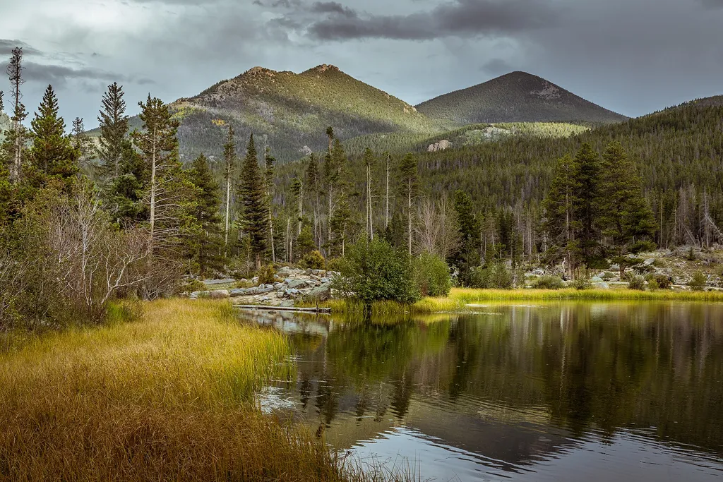 Astronomy in the Park at Park & RideHikingPhoto: Christian Collins — Wikimedia Commons (CC BY-SA 2.0)0.3 mi
 Emerald Mountain TrailHikingPhoto: christinejwarner, CC BY 2.0 (via Flickr)0.5 mi
 Alberta FallsWaterfallPhoto: Evan Clark evanrclark, CC0 (via Wikimedia Commons)2.8 mi
Source: Roamze catalog (indexable pages within 10 miles, PostGIS distance)
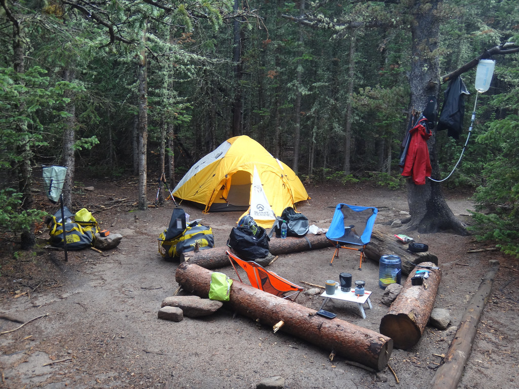 Goblins ForestCamping · ~7 min drivePhoto: dionhinchcliffe — CC BY-SA 2.0 (via Flickr)
 Fern Lake CampsiteCamping · ~8 min drivePhoto: KimonBerlin — CC BY-SA 2.0 (via Flickr)
Best months: May–September. Best months have typical highs of 55–85 °F, lows of 30 °F or warmer (32 °F where the station doesn't record snow), at most one snowy day and no more than 12 wet days.
Jan
32° / 14°
Feb
35° / 15°
Mar
42° / 20°
Apr
46° / 23°
May
56° / 32°
Jun
69° / 38°
Jul
74° / 44°
Aug
73° / 43°
Sep
66° / 36°
Oct
52° / 29°
Nov
41° / 20°
Dec
33° / 14°
Typical high / low (°F) and days with rain or snow, 1991–2020. Measured at Allenspark 3nw, CO, 8 mi away at 8,500 ft. This station doesn't record snowfall. Source: NOAA NCEI U.S. Climate Normals 1991–2020.
Glacier Basin Campground
153 sites for tent and RV camping
Map and trail data © OpenStreetMap contributors

