Santa Paula Peak
About
Santa Paula Peak is a summit of 4,956 feet in the Ojai Ranger District of Los Padres National Forest in California, about 6 miles from the town of Fillmore. Spring and fall are the most comfortable times to go. Typical averages from a nearby weather station at a similar elevation show May highs around 70°F and October highs around 71°F, while July and August average highs near 88°F. Several trails start close by. San Cayetano is about half a mile away and Santa Paula Canyon about a mile. Last Chance Trail is roughly 2.7 miles off, and Santa Paula Creek, a canoeing spot, is about 3.4 miles away.
Summit Facts
Summit elevation
4,956 ft
Elevation from USGS 3D Elevation Program terrain data (about 10 m resolution).
Location
Santa Paula Peak
California
Name and location: U.S. Geological Survey, Geographic Names Information System (GNIS). Elevation: USGS 3D Elevation Program. View the GNIS record.
Facts about this place
When to go
Best time to go: Apr–Jun. The mildest months here, with typical highs of 62–80°F and lows of 43–58°F.
Typical monthly averages (not a forecast) from the Sandberg, CA weather station, 27 mi away. High / low in °F.
- Jan52° high39° low
- Feb53° high38° low
- Mar57° high41° low
- Apr62° high43° low
- May70° high49° low
- Jun80° high58° low
- Jul88° high65° low
- Aug88° high65° low
- Sep83° high61° low
- Oct71° high52° low
- Nov60° high44° low
- Dec52° high38° low
Where it is
- Ojai Ranger District · Ranger district
- Los Padres National Forest · National forest
- Nearest town
- Fillmore, California · 6 mi
Conditions
Active alerts for Ojai Ranger District as of Oct 9, 2026:
Sespe Condor Sanctuary Closure
information · posted Aug 24, 2026
Source: USFS forest alerts
Nearby
- San CayetanoHiking0.6 mi
- Santa Paula CanyonHiking1 mi
 Last Chance TrailHikingPhoto: Dana L. Brown, CC BY-SA 2.0 (via Flickr)2.7 mi
- Santa Paula CreekCanoeing3.4 mi
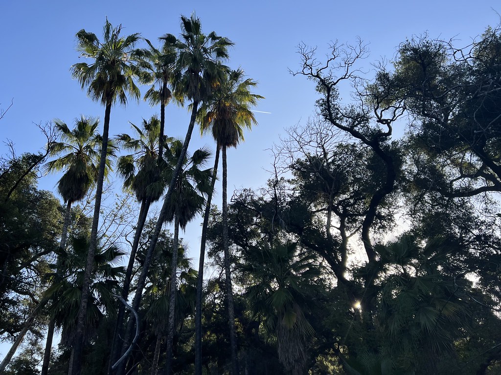 Santa Paula Canyon TrailHikingPhoto: Dana L. Brown, CC BY-SA 2.0 (via Flickr)3.9 mi
- East Fork TrailHikingPhoto: Dana L. Brown, CC BY-SA 2.0 (via Flickr)4.4 mi
- Central CoastRock climbing8.4 mi
 Sespe CreekCanoeingPhoto: Blackmb, CC BY-SA 3.0 (via Wikimedia Commons)9.7 mi
Source: Roamze catalog (indexable pages within 10 miles, PostGIS distance)
Is Santa Paula Peak open right now?
Alert in the area
The Forest Service lists 2 alerts for Los Padres National Forest.
Los Padres Fire Use and Firearm Restrictions
Agency alert covering Los Padres National Forest · Order 05-07-00-26-05 · USFS · Los Padres National Forest
Santa Barbara Front Country Fire Use Restrictions
Agency alert covering Los Padres National Forest · Order 05-07-5406-01 · USFS · Los Padres National Forest
As of · Source: USFS · Los Padres National Forest. Agencies don't list every closure — check before you go.
Best time to visit Santa Paula Peak
Best months: March–June and September–November. Best months have typical highs of 55–85 °F, lows of 30 °F or warmer (32 °F where the station doesn't record snow), at most one snowy day and no more than 12 wet days.
Jan
52° / 39°
7 wet
Feb
53° / 38°
8 wet
Mar
57° / 41°
7 wet
Apr
62° / 43°
5 wet
May
70° / 49°
3 wet
Jun
80° / 58°
1 wet
Jul
88° / 65°
1 wet
Aug
88° / 65°
1 wet
Sep
83° / 61°
1 wet
Oct
71° / 52°
2 wet
Nov
60° / 44°
4 wet
Dec
52° / 38°
6 wet
Typical high / low (°F) and days with rain or snow, 1991–2020. Measured at Sandberg, CA, 26.5 mi away at 4,510 ft. This station doesn't record snowfall. Source: NOAA NCEI U.S. Climate Normals 1991–2020.
