Beverly Park Estates Open Space
- State Department of Conservation
- managed by
- Jan–Dec
- best months
Is Beverly Park Estates Open Space open right now?
No closures listed
The National Park Service lists no closures for Santa Monica Mountains National Recreation Area.
As of · Source: NPS · Santa Monica Mountains National Recreation Area. Agencies don't list every closure — check before you go.
Beverly Park Estates Open Space is a California state-managed parcel within the Santa Monica Mountains National Recreation Area, about 3.4 miles from Beverly Hills. The land is overseen by the State Department of Conservation, and the park itself sits within the recreation area's boundaries. The weather station at UCLA, about 4 miles away and at a similar elevation, records typical highs in the upper 70s to upper 80s from July through September, with lows in the low 60s. Winter is milder, with highs in the upper 60s and about five to six wet days a month from December through February. Several trails lie within a short distance. The Dixie Canyon Loop Trail is half a mile away, and Franklin Canyon Park and the Berman Trail are each about 0.6 miles off. Climbers can find Bee Rock in Griffith Park roughly 7 miles away.
Park size
14 acres
- Dixie Canyon Loop TrailHiking0.5 mi
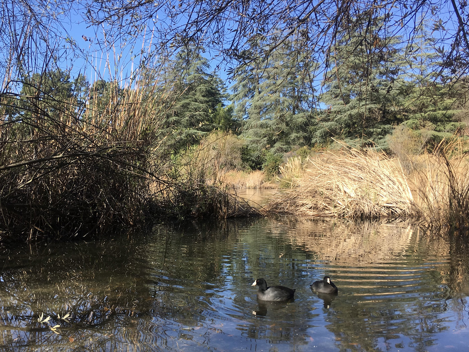 Franklin Canyon ParkHikingPhoto: NPS0.6 mi
 Berman TrailHikingPhoto: mjhbower, CC BY-SA 2.0 (via Flickr)0.6 mi
- U-Vanu TrailHiking0.8 mi
- UclaRock climbing4.4 mi
 Bee Rock (Griffith Park)Rock climbingPhoto: Thad Zajdowicz, CC BY-SA 2.0 (via Flickr)7.1 mi
 Main WallRock climbingPhoto: timatymusic, CC BY 2.0 (via Flickr)9.2 mi
- Tick RockRock climbingPhoto: timatymusic, CC BY 2.0 (via Flickr)9.2 mi
Source: Roamze catalog (indexable pages within 10 miles, PostGIS distance)
 Los Encinos State Historic ParkState park · ~9 min drivePhoto: Cbl62, CC BY-SA 3.0 (via Wikimedia Commons)
 Will Rogers State Historic ParkState park · ~13 min drivePhoto: Los Angeles, CC BY-SA 3.0 (via Wikimedia Commons)
 Topanga State ParkState park · ~15 min drivePhoto: Jusdafax, CC BY-SA 3.0 (via Wikimedia Commons)
 Rio de Los Angeles State Park State Recreation AreaState park · ~18 min drivePhoto: Laurie Avocado, CC BY 2.0 (via Wikimedia Commons)
 Los Angeles State Historic ParkState park · ~19 min drivePhoto: Laurie Avocado, CC BY 2.0 (via Wikimedia Commons)
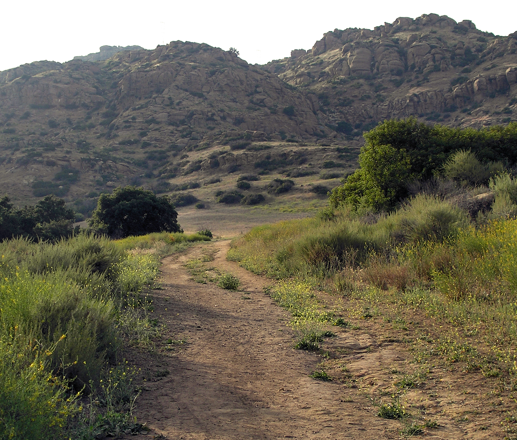 Santa Susana Pass State Historic ParkState park · ~26 min drivePhoto: PKM, CC BY-SA 3.0 (via Wikimedia Commons)
 Malibu Lagoon State BeachState park · ~28 min drivePhoto: Steven Lek, CC BY-SA 4.0 (via Wikimedia Commons)
 Malibu Creek State ParkState park · ~32 min drivePhoto: Matt Sachtler, CC BY-SA 2.0 (via Wikimedia Commons)
 Robert H. Meyer Memorial State BeachState park · ~46 min drivePhoto: Graham, CC BY 2.0 (via Wikimedia Commons)
 Leo Carrillo State ParkState park · ~52 min drivePhoto: Traveler100, CC BY-SA 3.0 (via Wikimedia Commons)
Best time to visit Beverly Park Estates Open Space
Best months: Year-round. Best months have typical highs of 55–85 °F, lows of 30 °F or warmer (32 °F where the station doesn't record snow), at most one snowy day and no more than 12 wet days.
Jan
68° / 52°
6 wet
Feb
67° / 51°
6 wet
Mar
68° / 52°
5 wet
Apr
70° / 54°
3 wet
May
70° / 56°
2 wet
Jun
73° / 59°
1 wet
Jul
77° / 62°
1 wet
Aug
79° / 63°
0 wet
Sep
79° / 63°
1 wet
Oct
76° / 60°
2 wet
Nov
72° / 55°
3 wet
Dec
67° / 51°
5 wet
Typical high / low (°F) and days with rain or snow, 1991–2020. Measured at U C L A, CA, 4.3 mi away at 430 ft. We don't have this place's elevation, so higher spots nearby can run cooler. Source: NOAA NCEI U.S. Climate Normals 1991–2020.

