Loon Lake
Campground
Campground · 0.1 mi from the trail
Alert in the area
The Forest Service lists 2 alerts for Eldorado National Forest.
Help Halt Golden Mussel Invasion
Agency alert covering Eldorado National Forest · USFS · Eldorado National Forest
Deer Valley Trail (19E01) & Meadow Lake Road (09N01)
Agency alert covering Eldorado National Forest · Order 03-24-05 · USFS · Eldorado National Forest
As of · Source: USFS · Eldorado National Forest. Agencies don't list every closure — check before you go.
Zephyr Trail is an easy cross-country skiing route in California's Eldorado National Forest, within the Pacific Ranger District. The out-and-back route is about 1.6 miles long, rising roughly 45 feet from a low point of 6,415 feet to a high of 6,463 feet. The trail sits among several other ski routes and the Loon Lake campground, so it works well as a short outing or a link in a longer day of backcountry skiing. Winter is the natural season for skiing here. Typical averages from the Tahoma weather station, about 12 miles away at a similar elevation, run to highs near 38°F in December and January with lows around 22°F, while July and August average highs in the upper 70s. The station sits a few hundred feet lower than the trail's high point, so temperatures on the route run a little cooler. Polaris and Chipmunk Bluff, both cross-country ski routes, and Loon Lake campground are all about a tenth of a mile away. The Rubicon River, about 1.6 miles off, offers canoeing.
Loon Lake
Campground
Baldwin Home
Museum
Places © OpenStreetMap contributors, Places © Overture Maps Foundation
More in Sunnyside-Tahoe CityNot on Roamze yet. Their page has how to reach them.
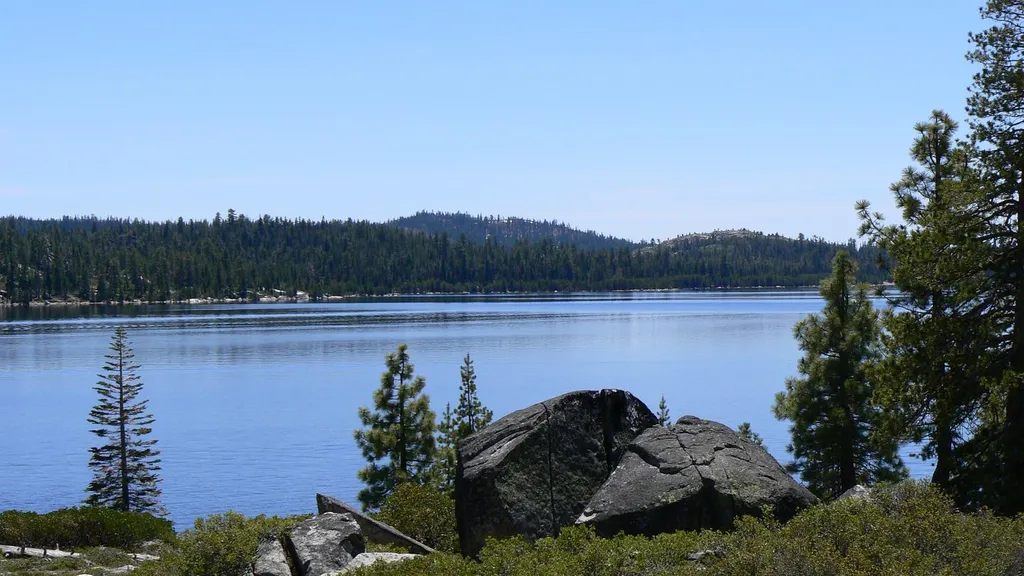 Loon LakeCampingPhoto: Recreation.gov (RIDB) / public domain0.1 mi
Source: Roamze catalog (indexable pages within 10 miles, PostGIS distance)
Best months: May–October. Best months have typical highs of 55–85 °F, lows of 30 °F or warmer (32 °F where the station doesn't record snow), at most one snowy day and no more than 12 wet days.
Jan
37° / 22°
Feb
38° / 22°
Mar
43° / 25°
Apr
49° / 27°
May
58° / 34°
Jun
69° / 40°
Jul
77° / 46°
Aug
76° / 46°
Sep
69° / 41°
Oct
58° / 34°
Nov
44° / 27°
Dec
38° / 21°
Typical high / low (°F) and days with rain or snow, 1991–2020. Measured at Tahoma, CA, 11.9 mi away at 6,315 ft. This station doesn't record snowfall. Source: NOAA NCEI U.S. Climate Normals 1991–2020.
Fire Restrictions are in Effect Forest Wide
Eldorado National Forest · Order dated September 22, 2026; seen Aug 23, 2026 → lifted Nov 2, 2026 · Forest Service

