Western Front
Western Front in California has 6 climbing routes with mixed and sport styles.
 Photo: Jarek Tuszyński, CC BY 4.0 (via Wikimedia Commons)
- 6 routes
- 5.9 – 5.10a
- Sport · Mixed
Is Western Front open right now?
No closures listed
The National Park Service lists no closures for Yosemite National Park.
As of · Source: NPS · Yosemite National Park. Agencies don't list every closure — check before you go.
Best time to visit Western Front
Best months: June–September. Best months have typical highs of 55–85 °F, lows of 30 °F or warmer (32 °F where the station doesn't record snow), at most one snowy day and no more than 12 wet days.
Jan
41° / 13°
Feb
38° / 12°
Mar
42° / 15°
Apr
45° / 22°
May
54° / 27°
Jun
65° / 33°
Jul
71° / 38°
Aug
70° / 36°
Sep
65° / 32°
Oct
57° / 26°
Nov
47° / 20°
Dec
40° / 12°
Typical high / low (°F) and days with rain or snow, 1991–2020. Measured at Tuolumne Meadows Rs, CA, 4 mi away at 8,694 ft. This station doesn't record snowfall. Source: NOAA NCEI U.S. Climate Normals 1991–2020.
Western Front is a climbing area in Yosemite National Park, within the Yosemite Wilderness, on land managed by the National Park Service. It sits in the high country of the park, and a fee is charged for access. Summer is the most comfortable time to visit. Typical averages from a nearby weather station at Tuolumne Meadows show July highs around 71°F with lows near 38°F, while winter highs stay in the low 40s and lows drop to about 12°F. Several climbing areas lie close by, including South Flank about 0.1 mile away and West Face about 0.2 mile away. The Tenaya Lake Trail is about a mile off, and Tuolumne Meadows Campground is roughly 3 miles away.
Routes (6)
Facts about this crag
Keep exploring — more climbs worth the drive
 Photo: Jarek Tuszyński, CC BY 4.0 (via Wikimedia Commons)
South Flank
~0 min drive
South Flank in California has 13 climbing routes across 8 grades, offering mixed, sport, and trad styles.
 Photo: jfdervin, CC BY-SA 2.0 (via Flickr)
West Face
~0 min drive
West Face in California has 17 climbing routes across 10 grades, offering sport and trad options.
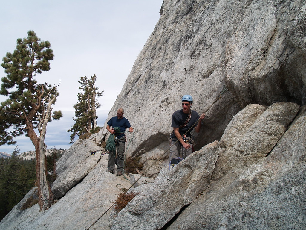 Photo: jfdervin, CC BY-SA 2.0 (via Flickr)
Wind Tunnel
~1 min drive
Wind Tunnel in California has 6 traditional climbing routes across 5 difficulty grades.
Photo: jfdervin, CC BY-SA 2.0 (via Flickr)Central Cottage Dome
~1 min drive
Central Cottage Dome is a California climbing area with 14 routes.
Photo: jfdervin, CC BY-SA 2.0 (via Flickr)Daff Area
~1 min drive
Daff Area in California has 14 climbing routes with 12 difficulty grades, offering alpine no fixed, sport, and trad styles.
 Photo: Jarek Tuszyński, CC BY 4.0 (via Wikimedia Commons)
Cottage Domes
~1 min drive
Cottage Domes in California has 3 trad climbing routes.
Photo: Jarek Tuszyński, CC BY 4.0 (via Wikimedia Commons)North Face of the Lamb
~1 min drive
5 trad climbing routes on North Face of the Lamb in California.
Photo: jfdervin, CC BY-SA 2.0 (via Flickr)West Face
~1 min drive
West Face in California offers 14 routes with 9 difficulty grades, featuring alpine no fixed protection.
Photo: jfdervin, CC BY-SA 2.0 (via Flickr)East Cottage Dome (aka Erratic Dome)
~1 min drive
East Cottage Dome (aka Erratic Dome) in California has 4 routes with alpine no fixed protection.
 Photo: pom'., CC BY-SA 2.0 (via Flickr)
North Face
~1 min drive
North Face in California has 9 traditional climbing routes across 6 difficulty grades.


