Spliter handcrack
One of two problems at this Roadside boulder sector.
- V0-1
- grade
- Bouldering Pads
- style
Is Spliter handcrack open right now?
Closure in the area
There's a closure order in Stanislaus National Forest. It doesn't name Spliter handcrack, so check the source for the area it covers (2 listed).
Stanislaus National Forest extends seasonal MVUM closure for two high elevation roads
Agency closure covering Stanislaus National Forest · USFS · Stanislaus National Forest
Extension of Seasonal Road Closures
Agency closure covering Stanislaus National Forest · USFS · Stanislaus National Forest
Temporary Fire Restrictions High Hazard Area Stanislaus National Forest
Agency alert covering Stanislaus National Forest · USFS · Stanislaus National Forest
Temporary Moderate Hazard Fire Restrictions Stanislaus National Forest
Agency alert covering Stanislaus National Forest · USFS · Stanislaus National Forest
As of · Source: USFS · Stanislaus National Forest. Agencies don't list every closure — check before you go.
Best time to visit Spliter handcrack
Best months: May–June and September–October. Best months have typical highs of 55–85 °F, lows of 30 °F or warmer (32 °F where the station doesn't record snow), at most one snowy day and no more than 12 wet days.
Jan
49° / 31°
10 wet · 5 snow
Feb
51° / 31°
10 wet · 5 snow
Mar
55° / 33°
10 wet · 5 snow
Apr
61° / 37°
8 wet · 2 snow
May
70° / 44°
6 wet · 1 snow
Jun
80° / 51°
3 wet
Jul
89° / 58°
1 wet
Aug
89° / 57°
1 wet
Sep
82° / 53°
2 wet
Oct
70° / 44°
4 wet
Nov
57° / 36°
7 wet · 2 snow
Dec
49° / 31°
9 wet · 4 snow
Typical high / low (°F) and days with rain or snow, 1991–2020. Measured at Cherry Valley Dam, CA, 7 mi away at 4,765 ft. Source: NOAA NCEI U.S. Climate Normals 1991–2020.
One of just two boulder problems catalogued at Hetch Hetchy's Roadside boulder sector.
Keep exploring — more climbs worth the drive
 Photo: mtnscll, CC BY-SA 2.0 (via Flickr)
Aq. Knob Hill
~23 min drive
Aq. Knob Hill in California has 10 climbing routes across 5 grades in mixed, sport, and trad styles.
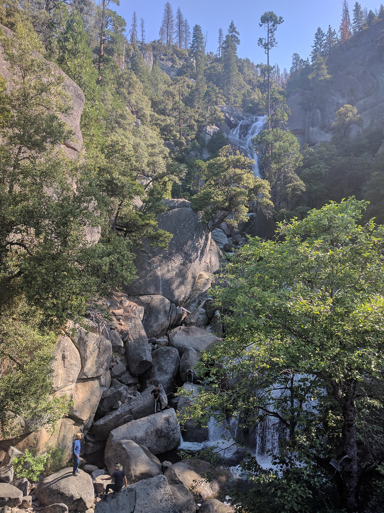 Photo: Ashwin Kumar, CC BY-SA 2.0 (via Flickr)
An. Cascade Area
~23 min drive
An. Cascade Area is a California climbing crag with 2 trad routes.
Photo: Ashwin Kumar, CC BY-SA 2.0 (via Flickr)Cascade Falls - Left
~23 min drive
Cascade Falls - Left in California has 7 climbing routes with 6 difficulty grades.
 Photo: msprague, CC BY-SA 2.0 (via Flickr)
The Owl
~23 min drive
Owl, The is a California climbing area with 6 trad routes spanning 6 difficulty grades.
Photo: Ashwin Kumar, CC BY-SA 2.0 (via Flickr)Cascade Falls - Right
~23 min drive
Cascade Falls - Right in California has 5 trad routes across 3 difficulty grades.
 Photo: lewinb, CC BY-SA 2.0 (via Flickr)
Am. Pat and Jack Pinnacle
~23 min drive
Am. Pat and Jack Pinnacle in California has 40 routes with mixed, sport, and trad climbing.
 Photo: Ktr101, CC BY-SA 2.0 (via Flickr)
The Cookie Sheet
~23 min drive
Cookie Sheet, The in California has 8 climbing routes with 4 difficulty grades.
 Photo: Ktr101, CC BY-SA 2.0 (via Flickr)
The Sugar Cookie
~23 min drive
11-route climbing area in California with sport and trad options.
Photo: Ktr101, CC BY-SA 2.0 (via Flickr)Al. Knobby Wall
~23 min drive
Al. Knobby Wall in California has 6 climbing routes across 5 grades, offering mixed, sport, and trad styles.
Photo: Ktr101, CC BY-SA 2.0 (via Flickr)East Pillar of the Cookie
~24 min drive
East Pillar of the Cookie in California offers 12 climbing routes across 9 grades in sport and trad styles.


