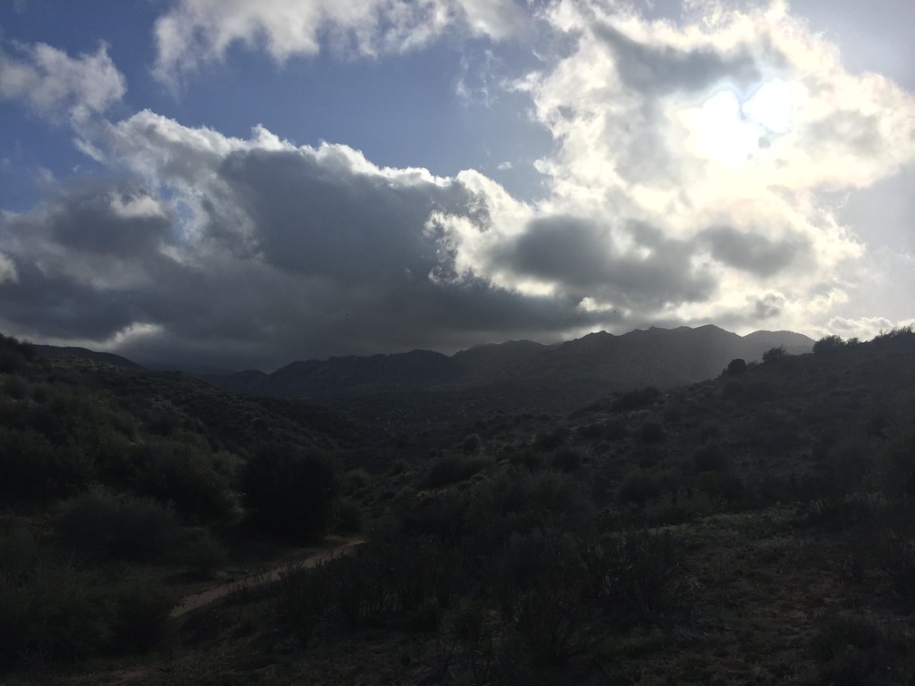
Snow Bird Ridge
Snow Bird Ridge is a 3-route sport climbing crag in California with routes on 3 difficulty grades.
- 3 routes
- 5.9 – 5.12b
- Sport
Is Snow Bird Ridge open right now?
Closure in the area
There's a closure order in Mountaintop Ranger District. It doesn't name Snow Bird Ridge, so check the source for the area it covers.
Radford Fire Closure Area
Agency closure covering Mountaintop Ranger District · Order 05-12-52-24-06 · USFS · Mountaintop Ranger District
Safety Alert - Falling Rocks at Bonita Falls
Agency alert covering San Bernardino National Forest · USFS · San Bernardino National Forest
Fire Restrictions
Agency alert covering San Bernardino National Forest · Order 05-12-00-26-05 · USFS · San Bernardino National Forest
As of · Source: USFS · Mountaintop Ranger District. Agencies don't list every closure — check before you go.
Best time to visit Snow Bird Ridge
Best months: April–October. Best months have typical highs of 55–85 °F, lows of 30 °F or warmer (32 °F where the station doesn't record snow), at most one snowy day and no more than 12 wet days.
Jan
44° / 29°
6 wet · 1 snow
Feb
45° / 30°
6 wet · 1 snow
Mar
52° / 32°
6 wet · 1 snow
Apr
60° / 36°
4 wet · 1 snow
May
67° / 41°
2 wet
Jun
76° / 49°
1 wet
Jul
81° / 57°
1 wet
Aug
82° / 57°
1 wet
Sep
74° / 52°
1 wet
Oct
63° / 43°
2 wet
Nov
52° / 34°
3 wet
Dec
43° / 29°
5 wet · 1 snow
Typical high / low (°F) and days with rain or snow, 1991–2020. Measured at Lake Arrowhead, CA, 4.4 mi away at 5,205 ft. Source: NOAA NCEI U.S. Climate Normals 1991–2020.
Snow Bird Ridge is a climbing area in the Mountaintop Ranger District of San Bernardino National Forest, managed by the Forest Service. It sits within the national forest's eastern reaches, where the forest's ranger districts break out the land. Late spring and early fall are the most comfortable times to visit. Typical averages from the nearby Lake Arrowhead weather station run to highs around 67°F in May and 74°F in September. Winters there are cold, with highs in the mid-40s and a few snow days a month. Several climbing areas lie close by. The Missing Link is just 0.2 miles away, and Shooting Gallery East is 0.7 miles off. Bradford Ridge Path is a hike within about a mile. For an overnight stay, North Shore Campground is roughly 3.6 miles away.
Routes (3)
Penguin Pinnacle(3)
Keep exploring — more climbs worth the drive
 Photo: Michael McCarty, CC BY 2.0 (via Flickr)
East Face
~2 min drive
East Face in California has 6 climbing routes ranging across 6 difficulty grades.
 Photo: Michael McCarty, CC BY 2.0 (via Flickr)
West Face
~2 min drive
West Face in California has 5 climbing routes across 4 grades, offering sport and trad styles.
Photo: Michael McCarty, CC BY 2.0 (via Flickr)Champagne Rock
~2 min drive
Champagne Rock is a climbing area in California with 6 routes.
Photo: Michael McCarty, CC BY 2.0 (via Flickr)Pinnacle 2
~2 min drive
Pinnacle 2 in California has 6 climbing routes across 5 grades.
Photo: Michael McCarty, CC BY 2.0 (via Flickr)Upper Buttresses
~2 min drive
Upper Buttresses in California has 2 climbing routes on 2 difficulty grades.
Photo: Michael McCarty, CC BY 2.0 (via Flickr)West Point
~3 min drive
West Point in California has 8 climbing routes with 4 difficulty grades, offering sport and trad options.
 Photo: Jim Tighe RiverNude, Public Domain Mark (via Flickr)
Deep Creek
~4 min drive
Deep Creek is a bouldering crag in California with 1 route.
The Missing Link
~0 min drive
8 traditional climbing routes at Missing Link, The in California.
Shooting Gallery East
~1 min drive
Shooting Gallery East in California has 6 sport climbing routes across 6 difficulty grades.
Shooting Gallery Center
~1 min drive
Shooting Gallery Center in California has 7 climbing routes across 6 grades, offering sport and trad options.