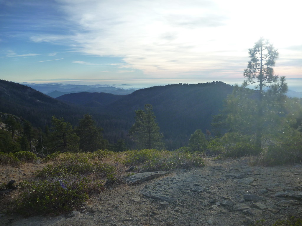
Smiley
Lower-intermediate boulder in the Sperm Whale sector at SEKI Bouldering.
- V2
- grade
- Bouldering Pads
- style
Is Smiley open right now?
Closure in the area
There's a closure order in Sequoia National Forest. It doesn't name Smiley, so check the source for the area it covers (2 listed).
Tule River Glass Container Prohibition Area
Agency closure covering Sequoia National Forest · Order 0513-26-02 · USFS · Sequoia National Forest
Trail of 100 Giants Boardwalk and Area Closure
Agency closure covering Sequoia National Forest · Order 0513-26-03 · USFS · Sequoia National Forest
Fire Restrictions - Sequoia National Forest
Agency alert covering Sequoia National Forest · Order 0513-00-26-07 · USFS · Sequoia National Forest
PUBLIC NUDITY PROHIBITION - Sequoia National Forest
Agency alert covering Sequoia National Forest · Order 0513-26-06 · USFS · Sequoia National Forest
Chico Flat Dispersed Camping Area Prohibition 26-27
Agency alert covering Sequoia National Forest · Order 0513-26-09 · USFS · Sequoia National Forest
As of · Source: USFS · Sequoia National Forest. Agencies don't list every closure — check before you go.
Best time to visit Smiley
Best months: May–October. Best months have typical highs of 55–85 °F, lows of 30 °F or warmer (32 °F where the station doesn't record snow), at most one snowy day and no more than 12 wet days.
Jan
46° / 26°
9 wet
Feb
46° / 25°
10 wet
Mar
48° / 27°
10 wet
Apr
52° / 30°
7 wet
May
60° / 38°
5 wet
Jun
71° / 46°
2 wet
Jul
79° / 52°
1 wet
Aug
79° / 52°
1 wet
Sep
73° / 47°
2 wet
Oct
63° / 39°
4 wet
Nov
53° / 32°
6 wet
Dec
46° / 25°
8 wet
Typical high / low (°F) and days with rain or snow, 1991–2020. Measured at Grant Grove, CA, 5.4 mi away at 6,580 ft. The station sits about 1,000 ft lower than this place, so expect it a little cooler here. This station doesn't record snowfall. Source: NOAA NCEI U.S. Climate Normals 1991–2020.
One of 20 routes catalogued at SEKI Bouldering, this climb sits in the lower-intermediate range of the crag's V1–V8 span. Located in the Sperm Whale sector.
Keep exploring — more climbs worth the drive
 Photo: gary_leavens, CC BY-SA 2.0 (via Flickr)
Tokopah Valley
~19 min drive
Tokopah Valley in California has 4 climbing routes with 3 difficulty grades.
 Photo: Juhele_CZ, CC0 (via Flickr)
West Face
~21 min drive
West Face in California has 16 climbing routes with mixed and trad protection.
Photo: Juhele_CZ, CC0 (via Flickr)Moro Rock (SEKI)
~22 min drive
Moro Rock (SEKI) is a California climbing area with 3 trad routes on 3 distinct difficulty grades.
 Photo: stevelyon, CC BY-SA 2.0 (via Flickr)
Hospital Rock Area
~23 min drive
Hospital Rock Area in California has 1 trad climbing route.
 Photo: Kurt Minard, CC BY-SA 3.0 (via Wikimedia Commons)
Tehipite Dome
~27 min drive
Tehipite Dome in California has 11 traditional climbing routes across 9 grades.
 Photo: Tom Hilton, CC BY 2.0 (via Flickr)
North Dome Boulder field
~30 min drive
North Dome Boulder field in California has 9 climbing routes across 5 grades.
Photo: Tom Hilton, CC BY 2.0 (via Flickr)Zumwalt Meadows North
~30 min drive
Zumwalt Meadows North is a California climbing area with 6 routes on 4 difficulty grades.
Photo: Tom Hilton, CC BY 2.0 (via Flickr)North Beach
~30 min drive
North Beach in California has 6 bouldering routes across 5 grades.
 Photo: simonov, CC BY-SA 2.0 (via Flickr)
Hamilton Lakes and Valhalla
~33 min drive
Hamilton Lakes and Valhalla in California has 11 climbing routes.
Photo: Juhele_CZ, CC0 (via Flickr)East Face
~21 min drive
East Face in California has 9 routes across 7 grades, offering mixed, sport, and trad climbing.