The Shark's Fin
Shark's Fin, The is a climbing area in California with 7 routes.
 Photo: mjhbower, CC BY-SA 2.0 (via Flickr)
- 7 routes
- 5.7 – 5.11c
- Sport · Bouldering
Best time to visit The Shark's Fin
Best months: February–May and October–November. Best months have typical highs of 55–85 °F, lows of 30 °F or warmer (32 °F where the station doesn't record snow), at most one snowy day and no more than 12 wet days.
Jan
58° / 30°
4 wet
Feb
61° / 33°
4 wet
Mar
69° / 39°
3 wet
Apr
76° / 44°
1 wet
May
85° / 53°
1 wet
Jun
96° / 62°
1 wet
Jul
102° / 67°
1 wet
Aug
101° / 65°
1 wet
Sep
93° / 58°
1 wet
Oct
81° / 48°
1 wet
Nov
67° / 36°
2 wet
Dec
57° / 29°
4 wet
Typical high / low (°F) and days with rain or snow, 1991–2020. Measured at Independence, CA, 14.6 mi away at 3,950 ft. The station sits about 700 ft lower than this place, so expect it a little cooler here. This station doesn't record snowfall. Source: NOAA NCEI U.S. Climate Normals 1991–2020.
Shark's Fin is a climbing area on Bureau of Land Management land within the Bishop Field Office in California, about 14 miles from the town of Bishop. It sits among a cluster of other climbing spots, with Alabama Hills just 0.1 mile away and South Pile about 0.3 mile off. Spring and fall are the most comfortable times to visit. Typical averages from a nearby weather station in Independence show April highs around 76°F and October highs around 81°F, while July and August average in the low 100s. The Alabama Hills Trail starts about 0.8 mile away, and the Arch Loop Trail is about a mile off. For an overnight stay, Tuttle Creek Campground is about 2.3 miles away and Lone Pine about 3.6 miles.
Keep exploring — more climbs worth the drive
 Photo: RuggyBearLA, CC BY 2.0 (via Flickr)
Alabama Hills
~0 min drive
4 bouldering routes in California, grades range from 4.
 Photo: RuggyBearLA, CC BY 2.0 (via Flickr)
South Pile
~0 min drive
South Pile in California has 5 sport climbing routes across 3 difficulty grades.
 Photo: m01229 from USA, CC BY-SA 2.0 (via Wikimedia Commons)
Choss Not Proud Enough To Name aka Entrance Piles
~1 min drive
3-route crag in California with mixed protection and moderate to hard grades.
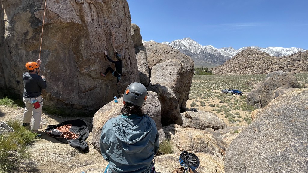 Photo: jfdervin, CC BY-SA 2.0 (via Flickr)
The Hideout
~1 min drive
The Hideout in California offers 2 sport climbing routes with distinct difficulty grades.
 Photo: RuggyBearLA, CC BY 2.0 (via Flickr)
Kearsarge Dome aka The Battle Ship
~1 min drive
Kearsarge Dome (The Battle Ship) in California has 12 climbing routes across 8 grades in mixed, sport, and trad styles.
Photo: jfdervin, CC BY-SA 2.0 (via Flickr)Hideout West
~1 min drive
Hideout West in California has 14 routes spanning 7 grades, offering mixed, sport, and trad climbing.
 Photo: lamblukas, CC BY 2.0 (via Flickr)
Hillbilly Pillar
~1 min drive
Hillbilly Pillar in California has 5 sport climbing routes ranging across 5 difficulty grades.
 Photo: jfdervin, CC BY-SA 2.0 (via Flickr)
Moonshine Pillar
~1 min drive
Moonshine Pillar in California has 6 climbing routes across 3 grades, offering sport and trad options.
Photo: lamblukas, CC BY 2.0 (via Flickr)Paul's Backyard
~1 min drive
Paul's Backyard in California has 19 climbing routes ranging across 9 difficulty grades.
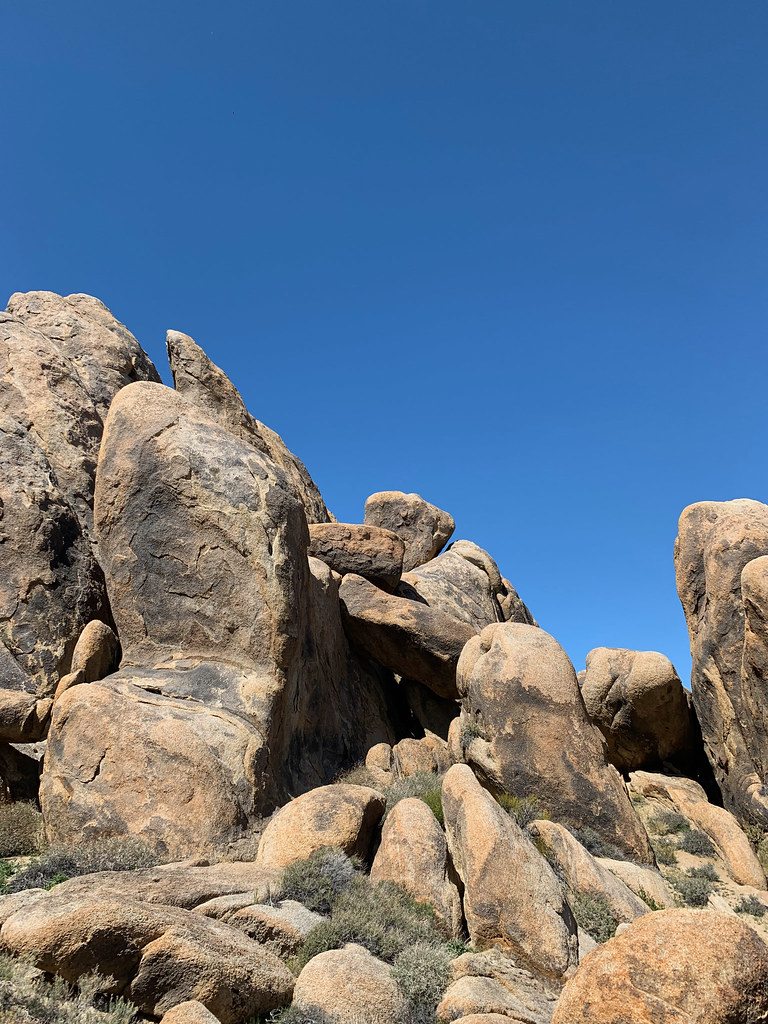 Photo: hesyifei, CC BY-SA 2.0 (via Flickr)
The Poodle Wall
~1 min drive
Poodle Wall, The in California has 7 climbing routes in mixed, sport, and trad styles.
Also worth it near here
 Photo: kalestews, CC BY 2.0 (via Flickr)
Alabama Hills Trail
~1 min drive
 Photo: Clyde Charles Brown, CC BY-SA 4.0 (via Wikimedia Commons)
Mobius Arch
~2 min drive
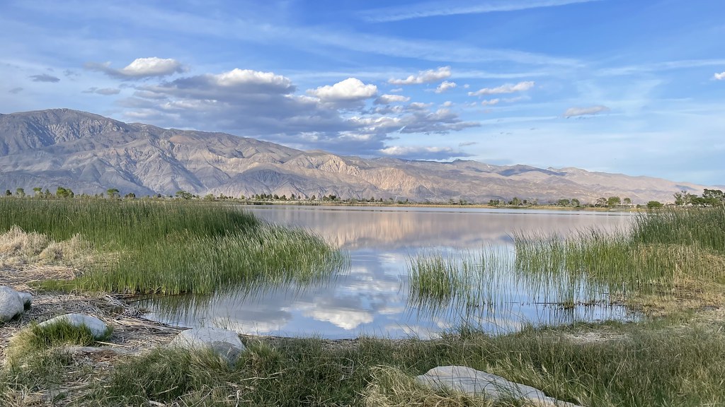 Photo: jfdervin — CC BY-SA 2.0 (via Flickr)
Diaz Lake Campground
~7 min drive
 Photo: UFGS Region 5, CC BY 2.0 (via Wikimedia Commons)
Lone Pine Peak
~11 min drive
