Riverside Island
Riverside Island in California has 17 climbing routes with 9 difficulty grades.
 Photo: GSEC, CC BY 2.0 (via Flickr)
- 17 routes
- 5.10+ – 5.13b
- Sport · Trad
Best time to visit Riverside Island
Best months: April–May and October. Best months have typical highs of 55–85 °F, lows of 30 °F or warmer (32 °F where the station doesn't record snow), at most one snowy day and no more than 12 wet days.
Jan
56° / 24°
4 wet
Feb
59° / 26°
4 wet
Mar
67° / 31°
3 wet
Apr
74° / 37°
2 wet
May
83° / 44°
2 wet
Jun
94° / 51°
1 wet
Jul
100° / 57°
1 wet
Aug
98° / 54°
1 wet
Sep
90° / 47°
1 wet
Oct
78° / 37°
1 wet
Nov
64° / 27°
2 wet
Dec
55° / 22°
3 wet
Typical high / low (°F) and days with rain or snow, 1991–2020. Measured at Bishop Ap, CA, 15.2 mi away at 4,102 ft. The station sits about 1,200 ft lower than this place, so expect it a little cooler here. This station doesn't record snowfall. Source: NOAA NCEI U.S. Climate Normals 1991–2020.
Riverside Island is a climbing area on city land in California, about 15 miles from Bishop. It sits among a cluster of climbing spots, with High Tension Towers and Pub Wall each about 0.1 mile away, so it works well as a base for exploring the surrounding crags. The area has 17 routes, mostly sport climbing with one trad route. The grades run from 5.10a up to 5.13b, with the median around 5.11a/b. Ratso is the trad route at 5.10a, and Conquistadors Without Swords is the hardest at 5.13b. Spring and fall are the most comfortable times to climb. Typical averages from a nearby weather station in Bishop show April highs around 74°F and October highs around 78°F, while July averages near 100°F. That station sits about 1,150 feet lower than the area, so temperatures here run cooler. Lower Rock Creek Trail, Section 3, is about 2 miles away, and Lower Rock Creek offers canoeing about 2.6 miles off. Sand Canyon, a mountain biking area, is about 4 miles away, and Tuff Campground is about 6 miles away.
Routes (17)
Keep exploring — more climbs worth the drive
Photo: GSEC, CC BY 2.0 (via Flickr)Pub Wall
~0 min drive
Pub Wall in California has 17 sport climbing routes across 11 difficulty grades.
 Photo: GSEC, CC BY 2.0 (via Flickr)
Social Platform
~0 min drive
18-route climbing area in California with sport and trad options.
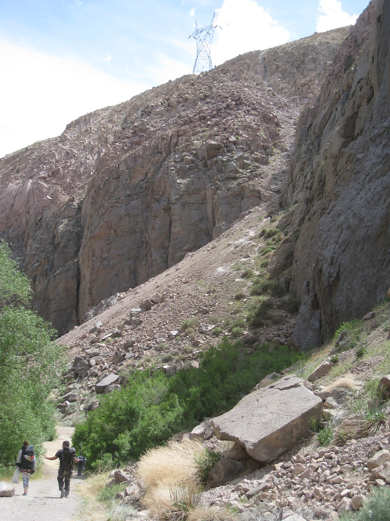 Photo: GSEC, CC BY 2.0 (via Flickr)
[Redacted]
~0 min drive
18-route climbing area in California with sport and trad options.
 Photo: GSEC, CC BY 2.0 (via Flickr)
Alien Wall
~0 min drive
Alien Wall in California has 9 climbing routes across 4 grades.
 Photo: GSEC, CC BY 2.0 (via Flickr)
Player's Club
~0 min drive
Player's Club in California has 8 routes across 7 grades, offering mixed, sport, and trad climbing.
 Photo: GSEC, CC BY 2.0 (via Flickr)
Powerhouse Wall
~0 min drive
Powerhouse Wall is a California climbing area with 6 sport routes.
 Photo: GSEC, CC BY 2.0 (via Flickr)
Attila the Hun Wall
~0 min drive
Attila the Hun Wall in California has 8 climbing routes with 6 difficulty grades.
Photo: GSEC, CC BY 2.0 (via Flickr)Health Club
~0 min drive
Health Club in California has 18 climbing routes with 10 difficulty grades.
 Photo: GSEC, CC BY 2.0 (via Flickr)
Faulty Tower
~0 min drive
Faulty Tower in California has 22 climbing routes across 15 grades, offering sport and trad options.
Photo: GSEC, CC BY 2.0 (via Flickr)Warning Signs
~0 min drive
Warning Signs is a California climbing crag with 27 routes ranging from 5.10a to 5.12c.

