Joshua Tree Outfitters
Rock Climbing business nearby (~12 mi away) — hasn't claimed their Roamze page yet
One of seven routes at this crag, near the top of its 5.4–5.13a range.
Alert in the area
The National Park Service lists 3 alerts for Joshua Tree National Park.
Partial Trail Closure of West Side Loop
Park alert covering Joshua Tree National Park · NPS · Joshua Tree National Park
Inaccurate Third-Party Apps
Park alert covering Joshua Tree National Park · NPS · Joshua Tree National Park
Oasis of Mara Trail Partial Closure
Park alert covering Joshua Tree National Park · NPS · Joshua Tree National Park
As of · Source: NPS · Joshua Tree National Park. Agencies don't list every closure — check before you go.
Best months: October–May. Best months have typical highs of 55–85 °F, lows of 30 °F or warmer (32 °F where the station doesn't record snow), at most one snowy day and no more than 12 wet days.
Jan
58° / 38°
4 wet
Feb
61° / 39°
3 wet
Mar
67° / 40°
3 wet
Apr
73° / 46°
2 wet
May
82° / 52°
1 wet
Jun
91° / 59°
0 wet
Jul
96° / 66°
2 wet
Aug
96° / 68°
2 wet
Sep
89° / 60°
2 wet
Oct
80° / 50°
1 wet
Nov
66° / 41°
2 wet
Dec
58° / 34°
4 wet
Typical high / low (°F) and days with rain or snow, 1991–2020. Measured at Yucca Valley, CA, 14.7 mi away at 3,249 ft. The station sits about 1,100 ft lower than this place, so expect it a little cooler here. This station doesn't record snowfall. Source: NOAA NCEI U.S. Climate Normals 1991–2020.
One of seven routes catalogued at Wall of Biblical Fallacies, this climb sits near the upper end of the crag's range, which spans from 5.4 to 5.13a.
 Photo: Jarek Tuszyński, CC BY-SA 3.0 (via Wikimedia Commons)
Rollerball Formation
~0 min drive
Rollerball Formation in California has 3 climbing routes with 2 difficulty grades.
Photo: Jarek Tuszyński, CC BY-SA 3.0 (via Wikimedia Commons)Rollerball Formation - West Face
~0 min drive
Rollerball Formation - West Face in California has 6 routes across 4 grades, offering sport and trad climbing.
 Photo: Moo.The.Cow, CC BY 2.0 (via Flickr)
The Outback
~0 min drive
Outback, The is a climbing area in California with 9 routes.
 Photo: dconvertini, CC BY-SA 2.0 (via Flickr)
Tilt-o-Meter Boulder
~0 min drive
Tilt-o-Meter Boulder is a California bouldering crag with 6 routes.
 Photo: Moo.The.Cow, CC BY 2.0 (via Flickr)
Dinosaur Rock
~0 min drive
Dinosaur Rock in California has 15 climbing routes across 9 grades, offering sport and trad options.
 Photo: dconvertini, CC BY-SA 2.0 (via Flickr)
Steve Canyon
~0 min drive
Steve Canyon in California has 10 climbing routes across 8 difficulty grades, offering mixed, sport, and trad styles.
 Photo: jldillenbeck, CC0 (via Flickr)
Under Lizzy Boulder
~0 min drive
Under Lizzy Boulder is a bouldering area in California with 7 routes.
 Photo: m01229, CC BY-SA 2.0 (via Flickr)
Watts Towers
~0 min drive
Watts Towers in California has 9 traditional climbing routes across 8 grades.
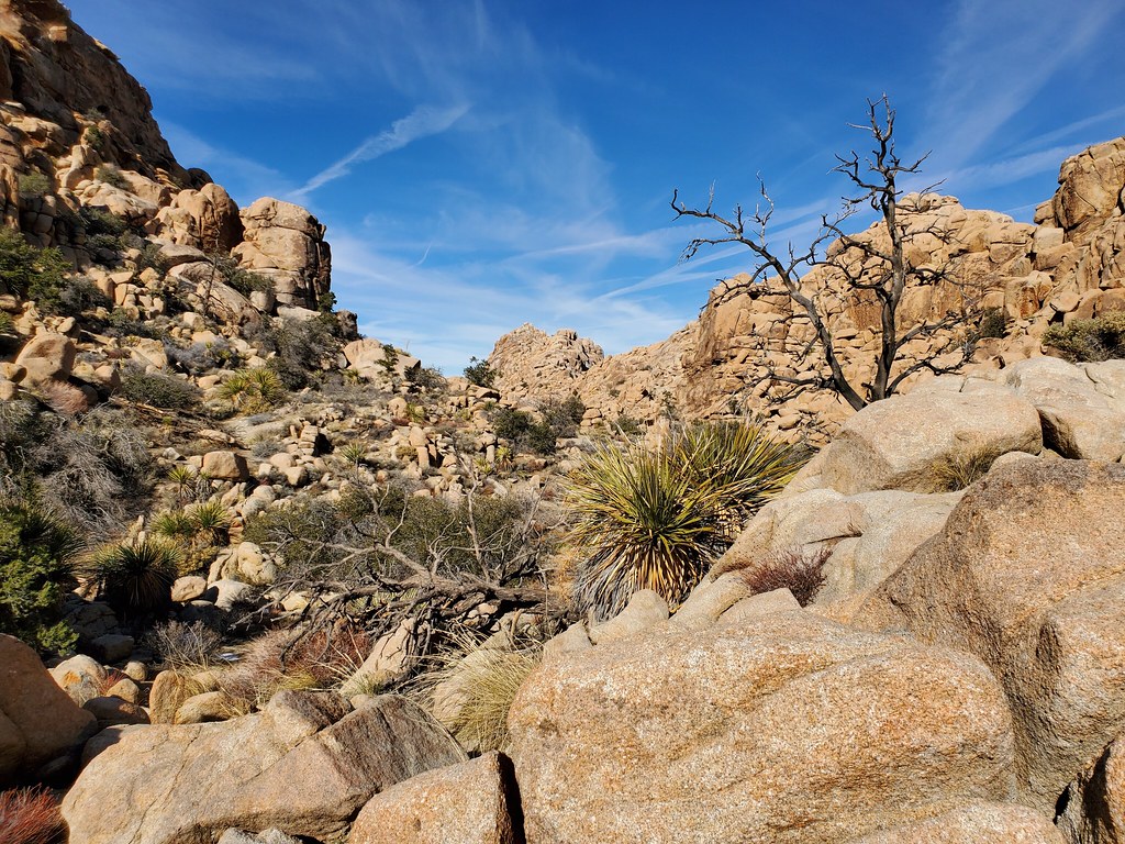 Photo: cifraser1, CC BY 2.0 (via Flickr)
X Factor Dome
~0 min drive
X Factor Dome in California has 7 climbing routes across 6 difficulty grades.
 Photo: Jarek Tuszyński, CC BY-SA 3.0 (via Wikimedia Commons)
Scatterbrain Area
~0 min drive
Scatterbrain Area is a 4-route climbing crag in California with bouldering pads.
Also worth it near here
Outfitters and businesses near Desert Hot Springs. They haven’t set up their Roamze page yet.
Joshua Tree Outfitters
Rock Climbing business nearby (~12 mi away) — hasn't claimed their Roamze page yet
