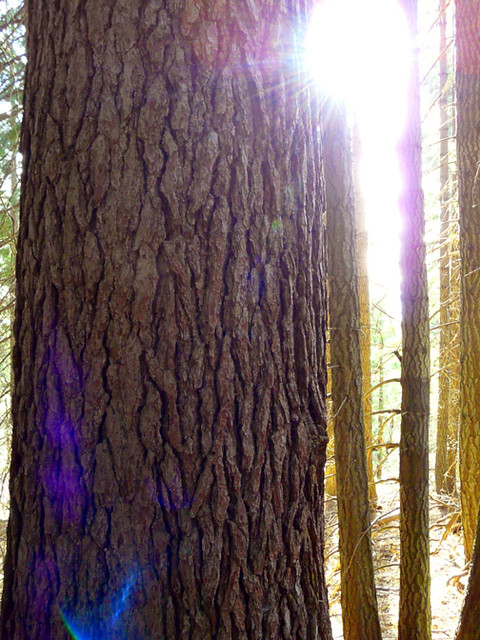
Mount Shasta Area
Mount Shasta Area in California has 7 climbing routes across 6 grades.
- 7 routes
- 5.9 – 5.10b
- Trad · Bouldering · Alpine
Is Mount Shasta Area open right now?
Closure in the area
There's a closure order in Shasta-Trinity National Forest. It doesn't name Mount Shasta Area, so check the source for the area it covers (2 listed).
Road Closure on Wild Mad Road
Agency closure covering Shasta-Trinity National Forest · Order 14-25-09 · USFS · Shasta-Trinity National Forest
Mud and Ash Creek Area and Road Closure
Agency closure covering Shasta-Trinity National Forest · Order 14-25-07 · USFS · Shasta-Trinity National Forest
Bailey Cove Road Closure Order
Agency alert covering Shasta-Trinity National Forest · Order 14-25-11 · USFS · Shasta-Trinity National Forest
Trout Creek Bridge Closure Order
Agency alert covering Shasta-Trinity National Forest · Order 14-26-02 · USFS · Shasta-Trinity National Forest
South Fork Suspension Bridge Closure
Agency alert covering Shasta-Trinity National Forest · Order 14-25-30 · USFS · Shasta-Trinity National Forest
As of · Source: USFS · Shasta-Trinity National Forest. Agencies don't list every closure — check before you go.
Best time to visit Mount Shasta Area
Best months: April–October. Best months have typical highs of 55–85 °F, lows of 30 °F or warmer (32 °F where the station doesn't record snow), at most one snowy day and no more than 12 wet days.
Jan
44° / 27°
13 wet
Feb
48° / 28°
12 wet
Mar
53° / 31°
13 wet
Apr
59° / 34°
11 wet
May
68° / 40°
9 wet
Jun
76° / 46°
5 wet
Jul
85° / 51°
2 wet
Aug
84° / 49°
2 wet
Sep
78° / 44°
3 wet
Oct
64° / 38°
6 wet
Nov
50° / 31°
11 wet
Dec
43° / 27°
13 wet
Typical high / low (°F) and days with rain or snow, 1991–2020. Measured at Mt Shasta, CA, 3.2 mi away at 3,613 ft. The station sits about 600 ft lower than this place, so expect it a little cooler here. This station doesn't record snowfall. Source: NOAA NCEI U.S. Climate Normals 1991–2020.
The Mount Shasta Area climbing area sits within the Mt. Shasta Ranger District of Shasta-Trinity National Forest in California, managed by the Forest Service. It is a compact cluster of climbing routes, with seven routes in total, and it works well as a base for a day of climbing or a longer trip in the surrounding forest. The most comfortable months for a visit are typically June through September, when typical averages from a nearby weather station at Mt Shasta run from highs around 76°F in June to about 78°F in September, with only two or three wet days a month. Winter is cold and wet, with highs in the low 40s and about 13 wet days a month from December through February. The routes here cover a range of styles, including trad, alpine and bouldering, with grades from about 5.9 to 5.10b on the YDS scale and V4 to V5+ on the V scale. Three of the routes are trad, and two are bouldering. The listed routes include Toscanellis at 5.9, Stinkwater at 5.10a and Wendy's Cafe at 5.10b. Bear Springs, a mountain biking spot, is about 1.3 miles away, and the Steam Donkey hike is about 1.7 miles off. Cantara Loop, another climbing area, is about 3 miles away, and Mcbride Springs Campground is about 4.1 miles away.
Routes (7)
Hedge Creek Falls(2)
Mt. Shasta(2)
Stinkwater Wall(3)
Keep exploring — more climbs worth the drive
 Photo: theforestprimeval, CC BY-SA 2.0 (via Flickr)
The Grotto
~16 min drive
Grotto, The is a climbing crag in California with 5 routes.
Mount Shasta
~8 min drive
Route to the summit of Mount Shasta (14,179 ft) from Bunny Flat.
 Photo: theforestprimeval, CC BY-SA 2.0 (via Flickr)
Castle Crags
~16 min drive
Castle Crags in California has 18 climbing routes across 12 grades, offering mixed, sport, and trad styles.
Photo: theforestprimeval, CC BY-SA 2.0 (via Flickr)Six Toe Backside
~16 min drive
Six Toe Backside in California has 5 climbing routes across 4 grades.
 Photo: theforestprimeval, CC BY-SA 2.0 (via Flickr)
Super Crack Spire
~16 min drive
Super Crack Spire in California offers 10 climbing routes across 7 grades, available in sport and trad styles.
Photo: theforestprimeval, CC BY-SA 2.0 (via Flickr)Indian Springs Canyon
~16 min drive
Indian Springs Canyon in California has 7 climbing routes across 5 grades.
Photo: theforestprimeval, CC BY-SA 2.0 (via Flickr)Pin Cushion Wall
~16 min drive
Pin Cushion Wall in California has 9 climbing routes across 6 grades.
Photo: theforestprimeval, CC BY-SA 2.0 (via Flickr)Six Toe Rock
~16 min drive
Six Toe Rock in California has 10 climbing routes across 8 grades.
Cantara Loop
~5 min drive
Cantara Loop in California has 7 climbing routes across 5 grades, offering sport and trad options.
Byron’s Boulder
~6 min drive
Byron’s Boulder in California has 11 bouldering routes across 7 grades.