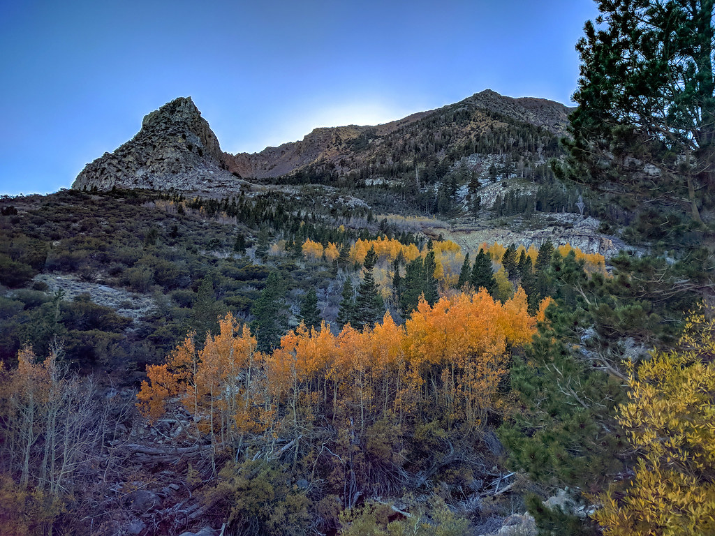
Lee Vining Canyon / Tioga Road
Near Lee Vining
 Photo: Seth Tisue, CC BY-SA 2.0 (via Flickr)
- 19 routes
- 5.8 – 5.12a
- Alpine · Trad · Sport
Is Lee Vining Canyon / Tioga Road open right now?
Alert in the area
The Forest Service lists 4 alerts for Inyo National Forest.
Stage 1 Fire Restrictions in Effect
Agency alert covering Inyo National Forest · Order 05-04-50-26-23 · USFS · Inyo National Forest
Help Halt Golden Mussel Invasion
Agency alert covering Inyo National Forest · USFS · Inyo National Forest
Ansel Adams and John Muir Wilderness Campfire Restrictions
Agency alert covering Inyo National Forest · Order 05-04-50-25-04 · USFS · Inyo National Forest
Golden Trout and Hoover Wilderness Campfire Restrictions
Agency alert covering Inyo National Forest · Order 05-04-50-25-05 · USFS · Inyo National Forest
As of · Source: USFS · Inyo National Forest. Agencies don't list every closure — check before you go.
Best time to visit Lee Vining Canyon / Tioga Road
Best months: June–September. Best months have typical highs of 55–85 °F, lows of 30 °F or warmer (32 °F where the station doesn't record snow), at most one snowy day and no more than 12 wet days.
Jan
41° / 13°
Feb
38° / 12°
Mar
42° / 15°
Apr
45° / 22°
May
54° / 27°
Jun
65° / 33°
Jul
71° / 38°
Aug
70° / 36°
Sep
65° / 32°
Oct
57° / 26°
Nov
47° / 20°
Dec
40° / 12°
Typical high / low (°F) and days with rain or snow, 1991–2020. Measured at Tuolumne Meadows Rs, CA, 7.9 mi away at 8,694 ft. The station sits about 1,600 ft lower than this place, so expect it a little cooler here. This station doesn't record snowfall. Source: NOAA NCEI U.S. Climate Normals 1991–2020.
Lee Vining Canyon / Tioga Road is a climbing area in California's Ansel Adams Wilderness, within the Mono Lake Ranger District of Inyo National Forest. The Forest Service manages the land, and the route network sits along Tioga Road, about 1.2 miles from Big Bend Campground and 1.3 miles from Ellery Campground. The climbing here is alpine in style, with 19 routes spread across the canyon. Alpine routes make up nine of them, and the grade range runs from 5.8 to 5.12a, with a median of 5.10c. Sport routes include Unknown A at 5.8 and Brake Lining Blues at 5.10b, while Queen Jane and Right Chicken Foot Crack are alpine at 5.10d and 5.10c. Summer is the most comfortable time to visit. Typical averages from a nearby weather station at Tuolumne Meadows, which sits about 1,600 feet lower, show July highs around 71°F and lows near 38°F. That station's figures are not directly comparable to the canyon's higher elevation, so expect cooler temperatures up top. Several other climbing areas lie within a few tenths of a mile, including Dinosaur Crag and Demonology Cliff Band. The Warren Fork Trail and Nunatak Tioga Tarns Trail are both within about 1.6 miles.
Routes (19)
Bard Harrington Wall(1)
Burning Brake Cliff(2)
Chicken Foot Cracks(3)
Dana Plateau(2)
Lower Tier(2)
Queen Jane Area(3)
Squealer Slab(3)
Television Skies Crag(3)
Keep exploring — more climbs worth the drive
 Photo: King of Hearts, CC BY-SA 3.0 (via Wikimedia Commons)
Just Another Social Distancing Crag
~0 min drive
5 climbing routes in California, 4 difficulty grades, alpine no fixed protection.
 Photo: Seth Tisue, CC BY-SA 2.0 (via Flickr)
Dinosaur Crag
~0 min drive
Dinosaur Crag in California has 9 climbing routes with 6 difficulty grades, offering mixed, sport, and trad styles.
Photo: Seth Tisue, CC BY-SA 2.0 (via Flickr)Demonology Cliff Band
~1 min drive
13-route climbing crag in California with mixed and trad climbing.
Photo: Seth Tisue, CC BY-SA 2.0 (via Flickr)Ellery Dam Spillway Crag
~1 min drive
Ellery Dam Spillway Crag in California has 12 climbing routes across 9 difficulty grades.
 Photo: jimmyharris, CC BY 2.0 (via Flickr)
Tioga Cliff Area (aka Private Property)
~1 min drive
Tioga Cliff Area (aka Private Property) is a sport climbing crag in California with 1 route.
 Photo: Seth Tisue, CC BY-SA 2.0 (via Flickr)
Quaking Aspen Wall
~1 min drive
Quaking Aspen Wall in California has 7 climbing routes across 5 grades.
Photo: Seth Tisue, CC BY-SA 2.0 (via Flickr)The Gold Wall
~1 min drive
Gold Wall in California has 9 climbing routes ranging from moderate to hard difficulty.
Photo: Seth Tisue, CC BY-SA 2.0 (via Flickr)Tioga Wall
~1 min drive
Tioga Wall in California has 17 climbing routes across 11 grades.
 Photo: Allie_Caulfield, CC BY 2.0 (via Flickr)
The Sphinx
~1 min drive
Sphinx, The in California has 7 climbing routes with 5 difficulty grades.
 Photo: zoxcleb, CC BY-SA 2.0 (via Flickr)
Transpire Wall
~2 min drive
Transpire Wall in California has 11 climbing routes across 8 grades.