Grand Canyon of the Tuolumne
11 trad routes in California's Grand Canyon of the Tuolumne.
 Photo: Rick McCharles, CC BY 2.0 (via Flickr)
- 11 routes
- 5.9 – 5.12c/d
- Trad
Is Grand Canyon of the Tuolumne open right now?
No closures listed
The National Park Service lists no closures for Yosemite National Park.
As of · Source: NPS · Yosemite National Park. Agencies don't list every closure — check before you go.
Best time to visit Grand Canyon of the Tuolumne
Best months: June–September. Best months have typical highs of 55–85 °F, lows of 30 °F or warmer (32 °F where the station doesn't record snow), at most one snowy day and no more than 12 wet days.
Jan
41° / 13°
Feb
38° / 12°
Mar
42° / 15°
Apr
45° / 22°
May
54° / 27°
Jun
65° / 33°
Jul
71° / 38°
Aug
70° / 36°
Sep
65° / 32°
Oct
57° / 26°
Nov
47° / 20°
Dec
40° / 12°
Typical high / low (°F) and days with rain or snow, 1991–2020. Measured at Tuolumne Meadows Rs, CA, 6 mi away at 8,694 ft. The station sits about 1,000 ft higher than this place, so expect it a little warmer here. This station doesn't record snowfall. Source: NOAA NCEI U.S. Climate Normals 1991–2020.
Grand Canyon of the Tuolumne is a climbing area in Yosemite National Park, California, within the Yosemite Wilderness. The National Park Service manages the land, and the area sits inside the park's wilderness boundaries. The climbing here is all trad, with 11 routes ranging from 5.9 to 5.12c/d. California Corner is the easiest at 5.9, and Buckin' Bronco and Just the Tips are among the harder options at 5.11c and 5.12c/d. The routes are spread across the canyon, and the area is a natural base for exploring the surrounding trails and campgrounds. Summer is the most comfortable time to visit. Typical averages from a nearby weather station at Tuolumne Meadows show July highs around 71°F with lows near 38°F, while winter highs stay in the low 40s. Pluto Dome is about a mile away, and the Glen Aulin - May Lake Trail is close by for a hike. Tuolumne Meadows Campground is about 5 miles off, and the Tenaya Lake Trail is roughly 3.4 miles away.
Routes (11)
Facts about this crag
Keep exploring — more climbs worth the drive
 Photo: stevelyon, CC BY-SA 2.0 (via Flickr)
Pluto Dome
~2 min drive
Pluto Dome in California has 9 traditional climbing routes across 7 difficulty grades.
 Photo: ilya_ktsn, CC BY 2.0 (via Flickr)
Whatchacallit Dome
~3 min drive
Whatchacallit Dome is a California climbing area with 1 route.
Photo: ilya_ktsn, CC BY 2.0 (via Flickr)West Face
~3 min drive
West Face in California has 6 climbing routes with 4 difficulty grades.
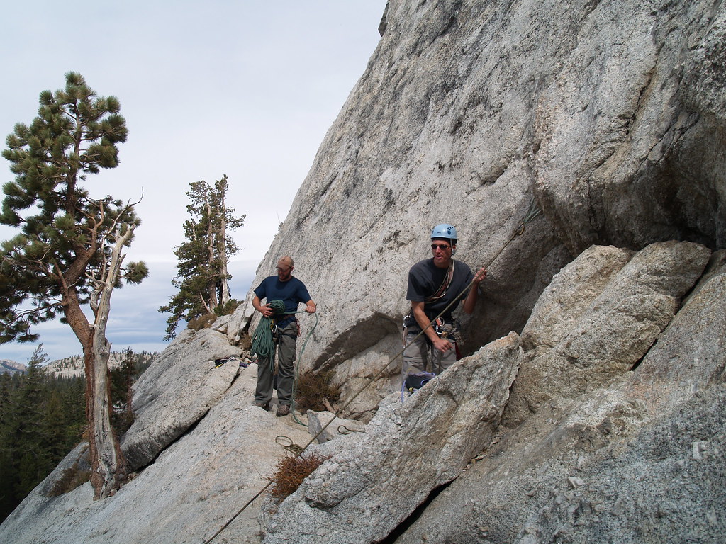 Photo: jfdervin, CC BY-SA 2.0 (via Flickr)
Daff Area
~4 min drive
Daff Area in California has 14 climbing routes with 12 difficulty grades, offering alpine no fixed, sport, and trad styles.
 Photo: Jarek Tuszyński, CC BY 4.0 (via Wikimedia Commons)
Cottage Domes
~5 min drive
Cottage Domes in California has 3 trad climbing routes.
 Photo: jfdervin, CC BY-SA 2.0 (via Flickr)
Central Cottage Dome
~5 min drive
Central Cottage Dome is a California climbing area with 14 routes.
Photo: jfdervin, CC BY-SA 2.0 (via Flickr)West Face
~5 min drive
West Face in California offers 14 routes with 9 difficulty grades, featuring alpine no fixed protection.
Photo: jfdervin, CC BY-SA 2.0 (via Flickr)East Cottage Dome (aka Erratic Dome)
~5 min drive
East Cottage Dome (aka Erratic Dome) in California has 4 routes with alpine no fixed protection.
Photo: jfdervin, CC BY-SA 2.0 (via Flickr)Wind Tunnel
~5 min drive
Wind Tunnel in California has 6 traditional climbing routes across 5 difficulty grades.
Photo: jfdervin, CC BY-SA 2.0 (via Flickr)West Face
~5 min drive
West Face in California has 17 climbing routes across 10 grades, offering sport and trad options.
Also worth it near here
McGee Lake
~2 min drive
 Photo: Richard E. Ellis (talk · contribs), CC BY 3.0 (via Wikimedia Commons)
Glen Aulin - May Lake Trail
~2 min drive
 Photo: Navin75, CC BY-SA 2.0 (via Wikimedia Commons)
Waterwheel Falls
~2 min drive
 Photo: Lela Getzler, CC BY 2.0 (via Wikimedia Commons)
Glen Aulin High Sierra Camp
~2 min drive
