Gertrude Creek West
Campground
Campground · 2.8 mi from the trail
Closure in the area
There's a closure order in Sierra National Forest. It doesn't name South Fork Willow Creek, so check the source for the area it covers (3 listed).
Safety Tips for Burned Areas: Garnet Fire Area
Agency closure covering Sierra National Forest · USFS · Sierra National Forest
Wilderness Food and Refuse Storage
Agency closure covering Sierra National Forest · Order 05-15-00-26-03 · USFS · Sierra National Forest
Food and Refuse Storage
Agency closure covering Sierra National Forest · Order 05-15-00-26-02 · USFS · Sierra National Forest
Forest Order removes Fish Camp, Soda Springs, and Little Jackass from closure list
Agency alert covering Sierra National Forest · Order 05-15-00-26-11 · USFS · Sierra National Forest
Ansel Adams and John Muir Wilderness Campfire Restrictions
Agency alert covering Sierra National Forest · Order 05-15-00-26-09 · USFS · Sierra National Forest
As of · Source: USFS · Sierra National Forest. Agencies don't list every closure — check before you go.
South Fork Willow Creek is a 7.2-mile paddling stretch in the Bass Lake Ranger District of Sierra National Forest, near North Fork, California, on land managed by the U.S. Forest Service. The creek is intermittent and may run dry in some seasons, so it won't always be paddleable. USGS models an average flow of about 57 cfs and a gradient of about 170 feet per mile. That is a steep drop, and it applies across the whole run. A weather station in North Fork, about 2 miles away and roughly 1,000 feet below the creek, records typical average highs of about 77°F in May and 78°F in October. Summer highs there average around 95°F in July and August, and temperatures up along the creek run cooler. Close by are the Cedars Interpretive Traiil and South Fork Willow Creek Trail, both about 2 miles off. The Wishon Point and Wishon Bass Lake campgrounds are roughly 3.5 miles away.
Gertrude Creek West
Campground
 If it rainsKevin R Foote, CC BY-SA 3.0 · Wikimedia Commons
Mariposa Grove Museum
Museum
Places © OpenStreetMap contributors, Places © Overture Maps Foundation · Photos: Kevin R Foote, CC BY-SA 3.0 (commons)
More in Shaver Lake Wishon Bass LakeCampingPhoto: Recreation.gov (RIDB) / public domain3.4 mi
Source: Roamze catalog (indexable pages within 10 miles, PostGIS distance)
 Fresno RiverCanoeing · ~24 min drivePhoto: California High-Speed Rail Authority, Public domain (via Wikimedia Commons)
 Dinkey CreekCanoeing · ~43 min drivePhoto: USFS Region 5, Public domain (via Wikimedia Commons)
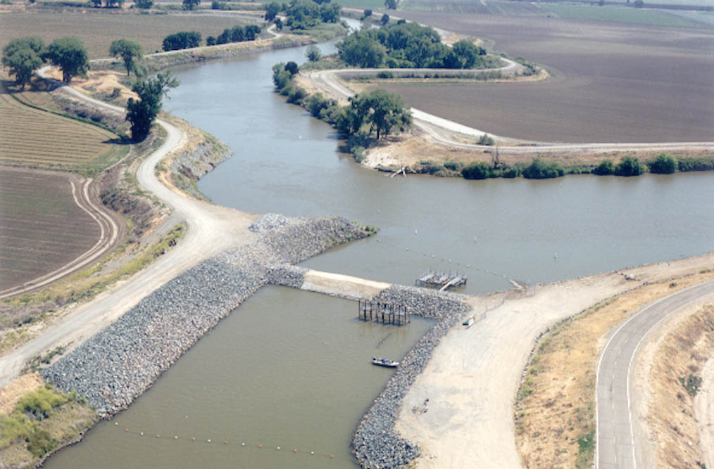 San Joaquin RiverCanoeing · ~50 min drivePhoto: MCalamari, Public domain (via Wikimedia Commons)
 Merced RiverCanoeing · ~54 min drivePhoto: Kylir Horton from Eagle Mountain, Utah, United States, CC BY 2.0 (via Wikimedia Commons)
Best months: February–May and October–December. Best months have typical highs of 55–85 °F, lows of 30 °F or warmer (32 °F where the station doesn't record snow), at most one snowy day and no more than 12 wet days.
Jan
57° / 31°
Feb
59° / 32°
Mar
63° / 35°
Apr
67° / 38°
May
77° / 45°
Jun
87° / 51°
Jul
95° / 58°
Aug
95° / 57°
Sep
90° / 52°
Oct
78° / 44°
Nov
65° / 37°
Dec
58° / 34°
Typical high / low (°F) and days with rain or snow, 1991–2020. Measured at N Fk Rs, CA, 1.7 mi away at 2,645 ft. The station sits about 1,000 ft lower than this place, so expect it a little cooler here. This station doesn't record snowfall. Source: NOAA NCEI U.S. Climate Normals 1991–2020.


