Russo's Launch Ramp
- Oct–May
- best months
Russo's Launch Ramp is a boat launch in California, about half a mile from the town of Bethel Island. It is a simple put-in point for getting a boat onto the water close to town. Spring and fall are the most comfortable times to visit. Typical averages from a nearby weather station show April highs around 72°F and October highs around 78°F, while July and August average about 90°F. Several trails lie within a short drive. Marsh Creek Regional Trail is about 5 miles away, Delta De Anza Regional Trail is about 5.5 miles away, and Levee Top Trail is about 6 miles away. Sand Creek Trail is roughly 8 miles off.
- Marsh Creek Regional TrailHiking5.2 mi
- Delta De Anza Regional TrailHiking5.5 mi
- Levee Top TrailHiking5.9 mi
- Sand Creek TrailHiking8.3 mi
- Oxbow Marina TrailHiking9 mi
Source: Roamze catalog (indexable pages within 10 miles, PostGIS distance)
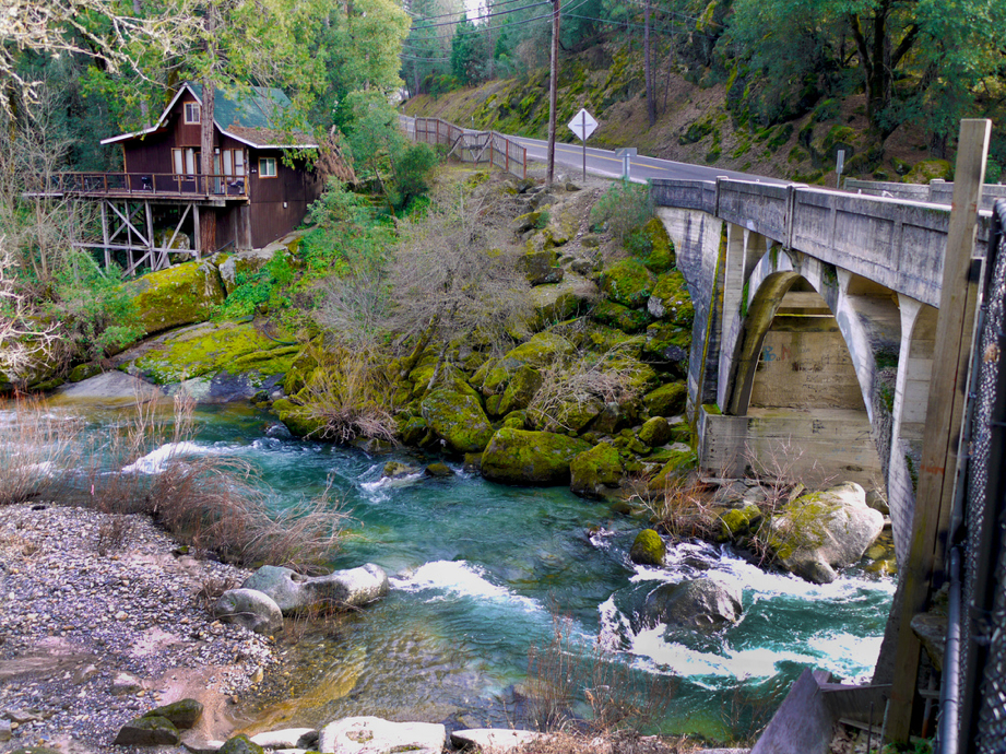 Cosumnes RiverCanoeing · ~51 min drivePhoto: Craig Howell, CC BY 2.0 (via Wikimedia Commons)
- Kitesurf launchBoat launch · ~16 min drive
- Deer Flat Boat In CampgroundTubing · ~1h 17m drive
 Arroyo de la LagunaCanoeing · ~55 min drivePhoto: Alameda County Resource Conservation District, CC BY-SA 4.0 (via Wikimedia Commons)
- Foil Kite / Wing launchBoat launch · ~16 min drive
 Arroyo ValleCanoeing · ~59 min drivePhoto: Michael C. Berch, CC BY-SA 3.0 (via Wikimedia Commons)
- Snug Harbor SlipwayBoat launch · ~19 min drive
 Alameda CreekCanoeing · ~1h 3m drivePhoto: Pi.1415926535, CC BY-SA 4.0 (via Wikimedia Commons)
- Marina Boat LaunchBoat launch · ~25 min drive
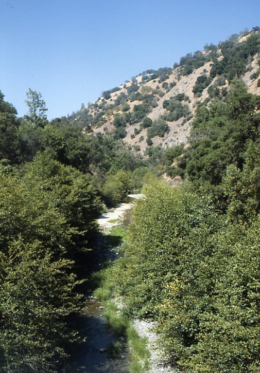 Arroyo HondoCanoeing · ~1h 12m drivePhoto: Robert A. Leidy PhD, US EPA, Public domain (via Wikimedia Commons)
Best time to visit Russo's Launch Ramp
Best months: October–May. Best months have typical highs of 55–85 °F, lows of 30 °F or warmer (32 °F where the station doesn't record snow), at most one snowy day and no more than 12 wet days.
Jan
56° / 40°
Feb
61° / 44°
Mar
67° / 47°
Apr
72° / 49°
May
79° / 54°
Jun
86° / 59°
Jul
91° / 61°
Aug
90° / 60°
Sep
87° / 59°
Oct
78° / 54°
Nov
65° / 46°
Dec
56° / 40°
Typical high / low (°F) and days with rain or snow, 1991–2020. Measured at Antioch Pumping Plt #3, CA, 7.9 mi away at 60 ft. Source: NOAA NCEI U.S. Climate Normals 1991–2020.
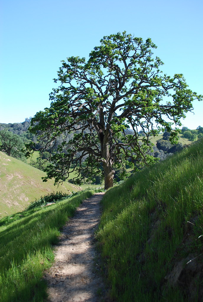
Map and trail data © OpenStreetMap contributors
