Holiday Cg
Campground
Campground · 4.7 mi from the trail
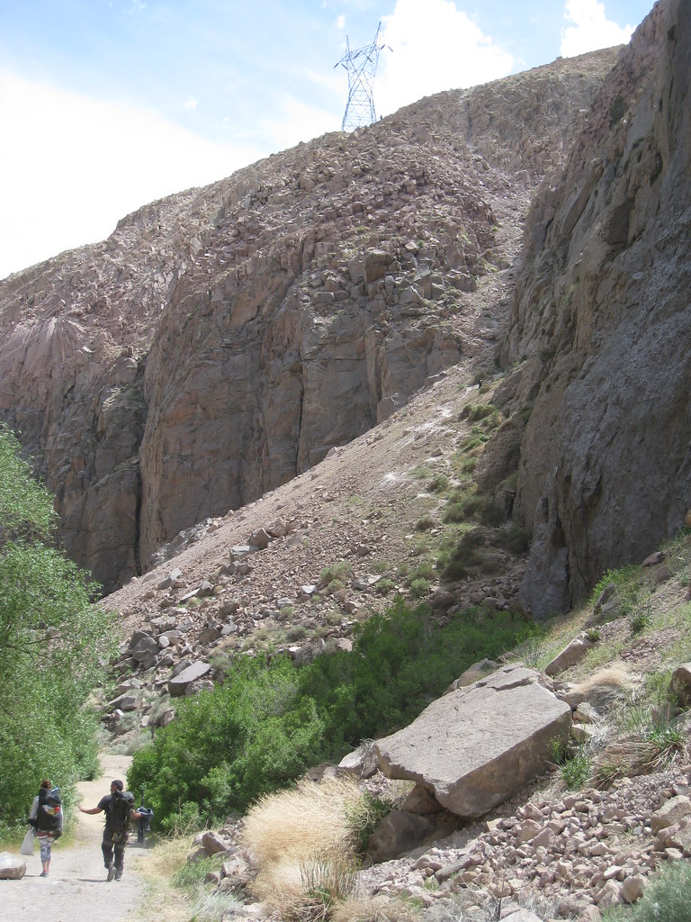
Lower Rock Creek is a 14-mile paddling stretch near Bishop, California, on land managed by the Bureau of Land Management's Bishop Field Office. The creek flows year-round, with typical averages from a nearby weather station showing an average flow of about 90 cubic feet per second and a gradient of about 188.8 feet per mile. Summer is the most comfortable time to paddle. Typical July highs reach about 78°F with lows near 49°F, while winter highs stay around 41°F, according to averages from the Mammoth Lakes weather station, about 21 miles away. Lower Rock Creek Trail, Section 3, lies about 1.3 miles away, and Sand Canyon offers mountain biking about 1.9 miles off. Climbers can head to Raven Ledge, about 2.6 miles away, and Holiday Campground sits about 4.7 miles from the creek.
Holiday Cg
Campground
Paiute-Shoshone Indian Cultural Center
Museum
Places © OpenStreetMap contributors, Places © Overture Maps Foundation
More in Bishop Lower Rock Creek Trail, Section 3HikingPhoto: The Wandering God, CC BY-SA 2.0 (via Flickr)1.3 mi
 French CampCampingPhoto: Recreation.gov (RIDB) / public domain4.8 mi
Source: Roamze catalog (indexable pages within 10 miles, PostGIS distance)
 Big Pine CreekCanoeing · ~50 min drivePhoto: Justin.Johnsen (talk · contribs) (Justin at Flickr), CC BY 2.0 (via Wikimedia Commons)
 Rush CreekCanoeing · ~1h 2m drivePhoto: Greg Reis, CC BY-SA 3.0 (via Wikimedia Commons)
 Middle Fork Kings RiverCanoeing · ~1h 3m drivePhoto: Kurt Minard, CC BY-SA 3.0 (via Wikimedia Commons)
 North Fork Kings RiverCanoeing · ~1h 5m drivePhoto: Gene Daniels, Public domain (via Wikimedia Commons)
 Dinkey CreekCanoeing · ~1h 12m drivePhoto: USFS Region 5, Public domain (via Wikimedia Commons)
Best months: May–September. Best months have typical highs of 55–85 °F, lows of 30 °F or warmer (32 °F where the station doesn't record snow), at most one snowy day and no more than 12 wet days.
Jan
41° / 17°
Feb
41° / 18°
Mar
45° / 22°
Apr
51° / 27°
May
60° / 35°
Jun
70° / 42°
Jul
78° / 49°
Aug
77° / 47°
Sep
71° / 40°
Oct
61° / 30°
Nov
49° / 23°
Dec
41° / 17°
Typical high / low (°F) and days with rain or snow, 1991–2020. Measured at Mammoth Lakes Rs, CA, 21.3 mi away at 7,804 ft. The station sits about 700 ft higher than this place, so expect it a little warmer here. This station doesn't record snowfall. Source: NOAA NCEI U.S. Climate Normals 1991–2020.