California · Canoeing · Taylorsville
Indian Creek
- 26.0 mi
- distance
- 6,989 ft
- high point
Is Indian Creek open right now?
Alert in the area
The Forest Service lists an alert for Plumas National Forest.
Stage I Fire Restrictions - Plumas National Forest
Agency alert covering Plumas National Forest · Order 05-11-26-04 · USFS · Plumas National Forest
As of · Source: USFS · Plumas National Forest. Agencies don't list every closure — check before you go.
Indian Creek is a 26-mile paddling stretch near Taylorsville, California. It is intermittent and may run dry in some seasons. USGS models an average flow of about 840 cfs and a gradient of about 128.6 feet per mile. Land along it is managed by the U.S. Forest Service.
- MIDDLE CREEKHiking1.1 mi
- Hungry CreekCanoeing1.1 mi
- ANTELOPE/TAYLOR LAKEHiking2.4 mi
 Boulder Creek (ca)CampingPhoto: Recreation.gov (RIDB) / public domain3.5 mi
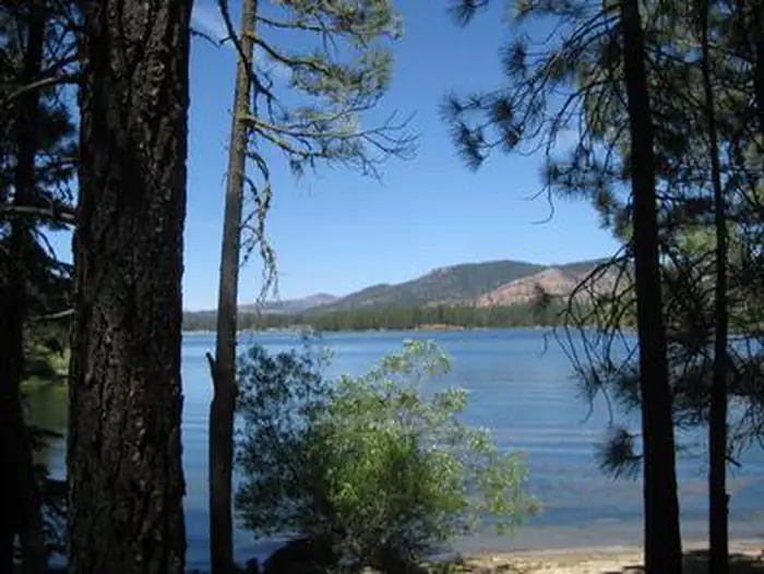 Boulder CreekRiver fishing3.5 mi
- Boulder Creek (Family Cg)Camping3.6 mi
- Maidu RocksRock climbing6.6 mi
- The MoonRock climbing7.4 mi
Source: Roamze catalog (indexable pages within 10 miles, PostGIS distance)
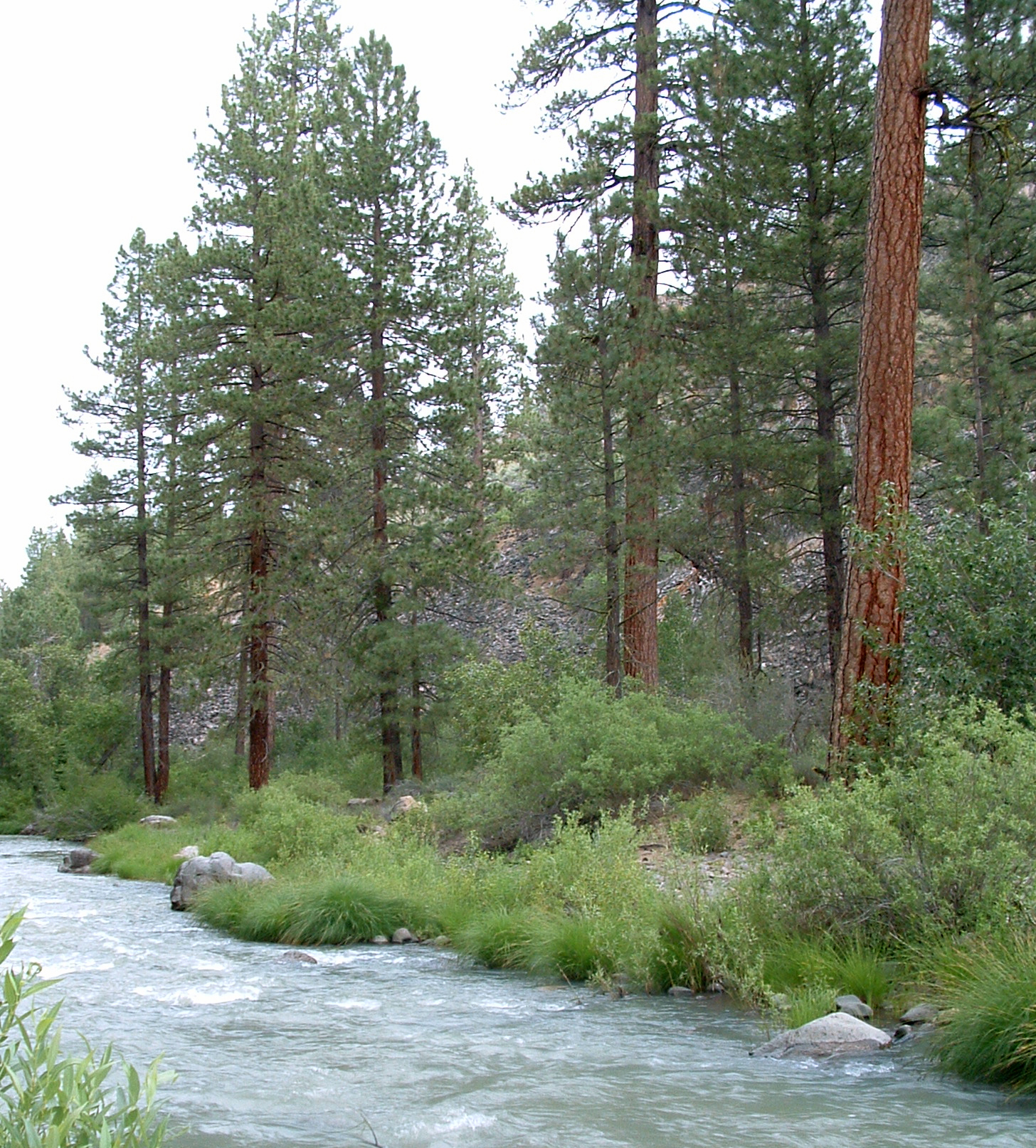 Susan RiverCanoeing · ~28 min drivePhoto: USFS Region 5, CC BY 2.0 (via Wikimedia Commons)
- Mallard Cove Boat RampBoat launch · ~35 min drive
 Middle Fork Feather RiverCanoeing · ~47 min drivePhoto: Frank Schulenburg, CC BY-SA 4.0 (via Wikimedia Commons)
- Honker Cove Boat RampBoat launch · ~37 min drive
- Hungry CreekCanoeing · ~2 min drive
- Canyon Dam Boat LaunchBoat launch · ~39 min drive
- Lights CreekCanoeing · ~11 min drive
- Almanor Boat LaunchBoat launch · ~46 min drive
- Cooks CreekCanoeing · ~15 min drive
- Aspen Grove Boat LaunchBoat launch · ~47 min drive
