Carr Creek
- 5.0 mi
- distance
- 2,940 ft
- high point
- Apr–May, Oct
- best months
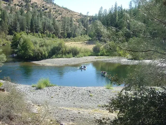
Carr Creek is a 5-mile paddling stretch near Hayfork, California, about 6 miles from town. It flows year-round, with typical averages from a nearby weather station in Weaverville showing an average flow of about 48 cubic feet per second and a gradient of about 99.3 feet per mile. Late spring and early fall are the most comfortable times to paddle. Typical averages from the Weaverville station show May highs around 77°F and September highs around 88°F, while July and August average in the mid-90s. That station sits roughly 900 feet lower than the creek, so temperatures on the water run cooler. Nearby, East Fork Divide is a hike about 2.7 miles away, and Big Creek offers more paddling at about 4.8 miles. Climbers can head to Hayfork Haven, The, about 5.8 miles off, and Steiner Flat Primitive Campground is about 7.9 miles away for an overnight stay.
Local outfitters
- Six Rivers Rafting38 mi away
- Headwaters Adventure Co38 mi away
Not on Roamze yet. Their page has how to reach them.
- East Fork DivideHiking2.7 mi
- "A" TrailHiking4.7 mi
- Big CreekCanoeing4.8 mi
- The Hayfork HavenRock climbing5.8 mi
- East Fork Hayfork CreekCanoeing6.3 mi
- Natural Bridge / High RockRock climbing6.4 mi
 Steiner Flat Primitive CampgroundCampingPhoto: Recreation.gov (RIDB) / public domain7.9 mi
- Philpot Cg-FCamping9.9 mi
Source: Roamze catalog (indexable pages within 10 miles, PostGIS distance)
 Hayfork CreekCanoeing · ~12 min drivePhoto: U.S. Forest Service, Public domain (via Wikimedia Commons)
- Dump HoleBoat launch · ~14 min drive
- Cooper Gulch CampgroundTubing · ~31 min drive
- Big CreekCanoeing · ~8 min drive
- Pigeon Point Boating SiteBoat launch · ~22 min drive
- Minersville CampgroundTubing · ~40 min drive
- East Fork Hayfork CreekCanoeing · ~11 min drive
- Big Flat River Access ParkingBoat launch · ~22 min drive
- Tule CreekCanoeing · ~17 min drive
- BagdadBoat launch · ~23 min drive
Best time to visit Carr Creek
Best months: April–May and October. Best months have typical highs of 55–85 °F, lows of 30 °F or warmer (32 °F where the station doesn't record snow), at most one snowy day and no more than 12 wet days.
Jan
50° / 31°
16 wet
Feb
55° / 31°
14 wet
Mar
61° / 33°
14 wet
Apr
68° / 36°
10 wet
May
77° / 42°
7 wet
Jun
86° / 46°
4 wet
Jul
95° / 52°
1 wet
Aug
94° / 50°
1 wet
Sep
88° / 44°
2 wet
Oct
75° / 36°
6 wet
Nov
57° / 33°
13 wet
Dec
47° / 31°
17 wet
Typical high / low (°F) and days with rain or snow, 1991–2020. Measured at Weaverville, CA, 12.9 mi away at 2,058 ft. The station sits about 900 ft lower than this place, so expect it a little cooler here. This station doesn't record snowfall. Source: NOAA NCEI U.S. Climate Normals 1991–2020.

